
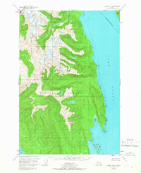
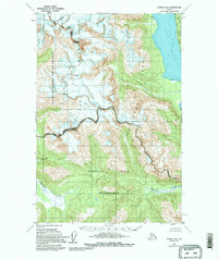
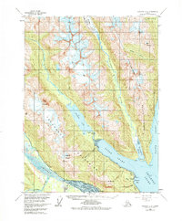
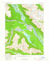
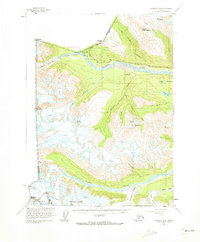
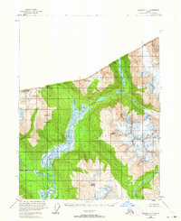
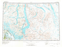
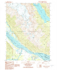
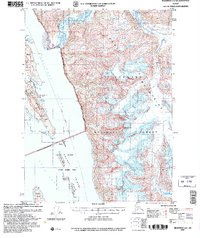
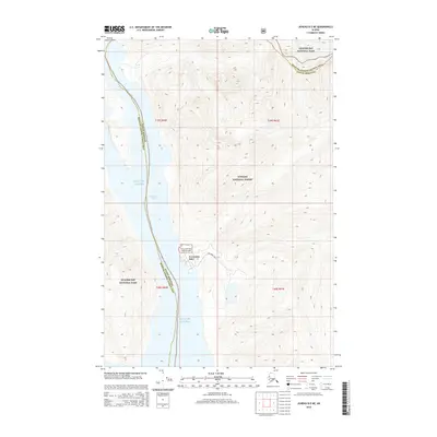
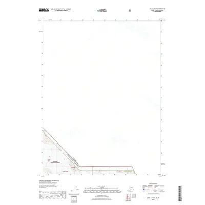
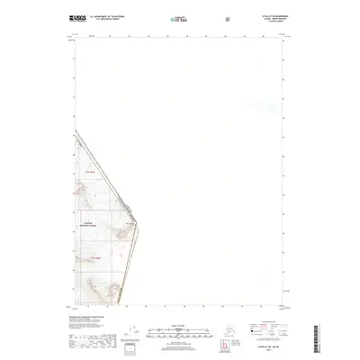
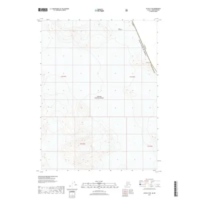
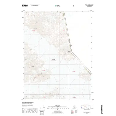
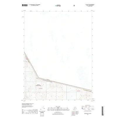
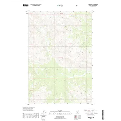
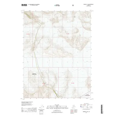
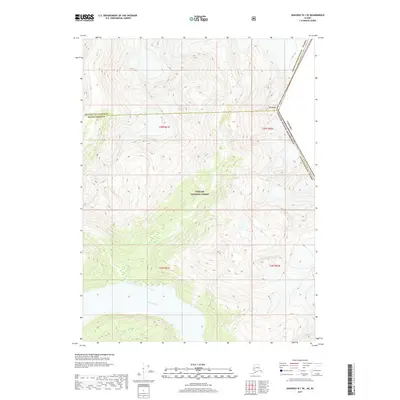
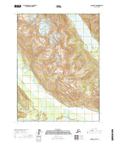
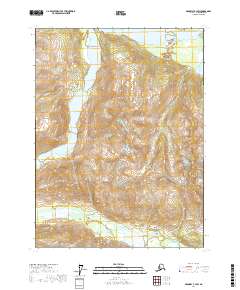
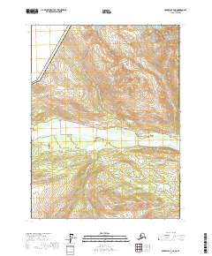
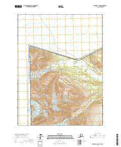
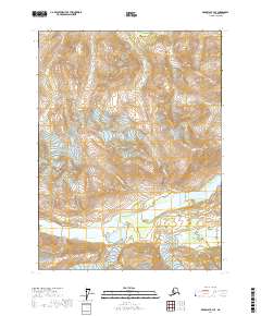
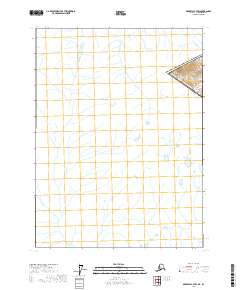
1949 Map of Atlin
USGS Topo · Published 1958About this map
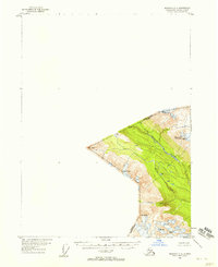
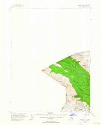
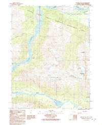
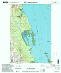
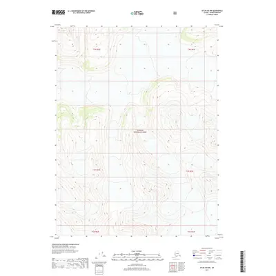
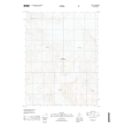
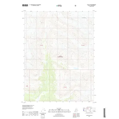
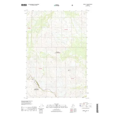
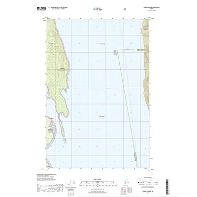
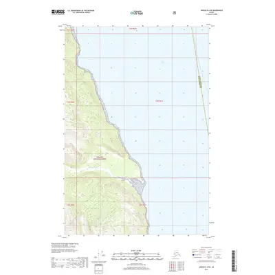
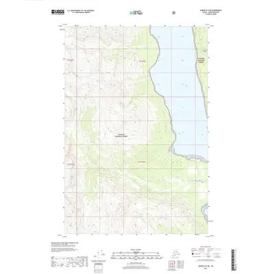
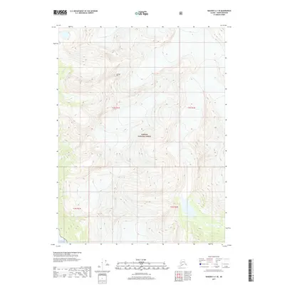
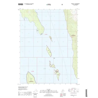
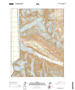
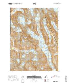
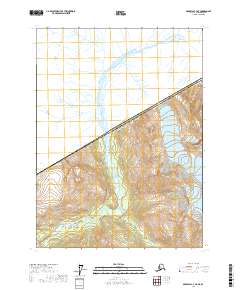
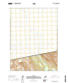
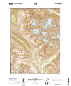
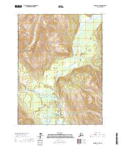
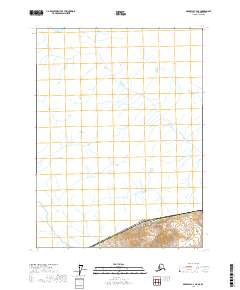
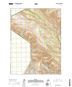
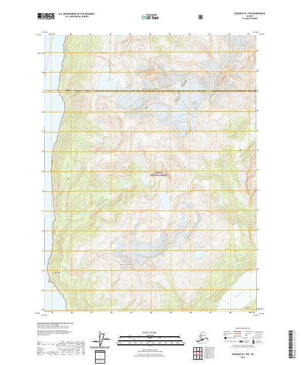
Tongass National Forest dominates the southwestern corner of this reconnaissance study, where the international boundary between the United States and Canada cuts through high alpine terrain. The geography is defined by the massive Meade Glacier, which flows through the Coast Mountains as they span the border between Alaska and British Columbia. This late 1940s survey, compiled from trimetrogon photography, captures the primary peaks of the region, including Snow Top, Mt Canning, and Mt Poletica. The map serves as a record of the remote borderlands before more modern surveying techniques replaced these early reconnaissance efforts, showing the relationship between the ice fields and the high granite summits of the Alaskan panhandle.
Find a feature on this map
8 named features on this map. Tap any name to fly to it.
Don’t see what you’re looking for? This feature index may not catch every label — zoom into the map to look around manually.
Map Details
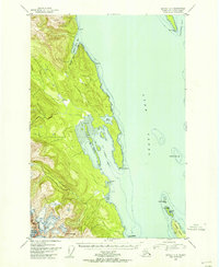
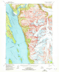
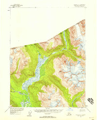
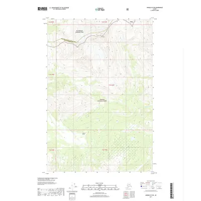
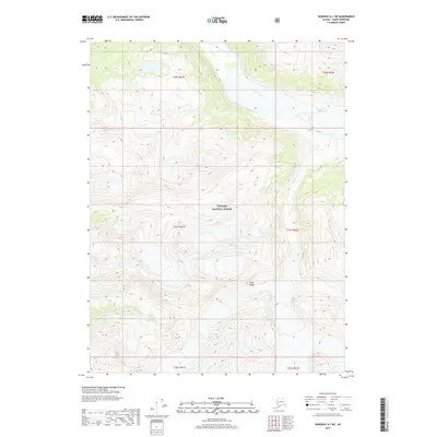
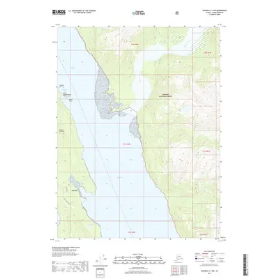
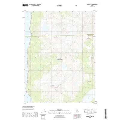
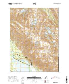
Editions of this 1949 Atlin Map
This is the sole edition of this map. No revisions or reprints were ever made.
Historical Maps of Haines Borough Through Time
133 maps found
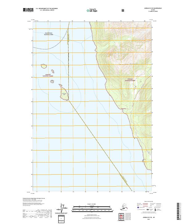
1948 Juneau B-4
Haines Borough, AK
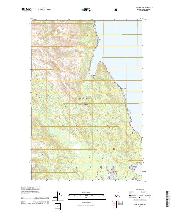
1948 Juneau C-4
Haines Borough, AK
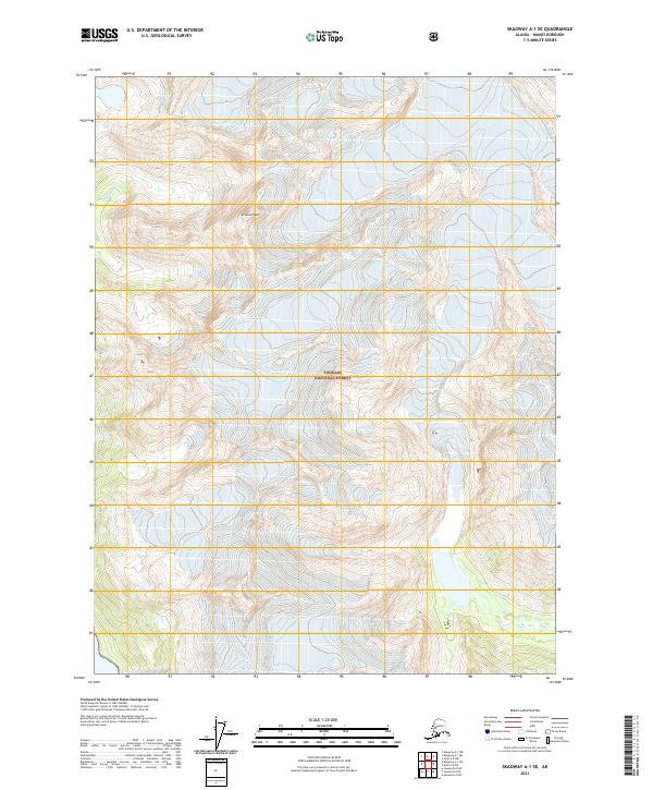
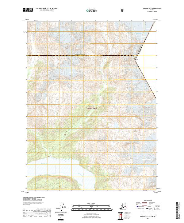
1948 Skagway A-1
Haines Borough, AK
1948 Skagway C-3
Haines Borough, AK
1948 Skagway C-4
Haines Borough, AK
1949 Atlin
Haines Borough, AK
1949 Juneau B-4
Haines Borough, AK
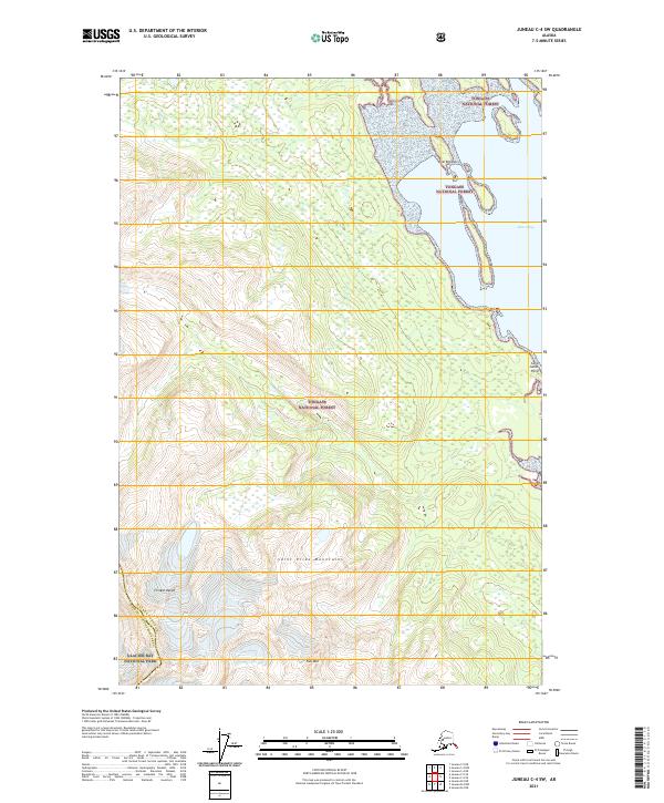
1949 Juneau C-4
Haines Borough, AK
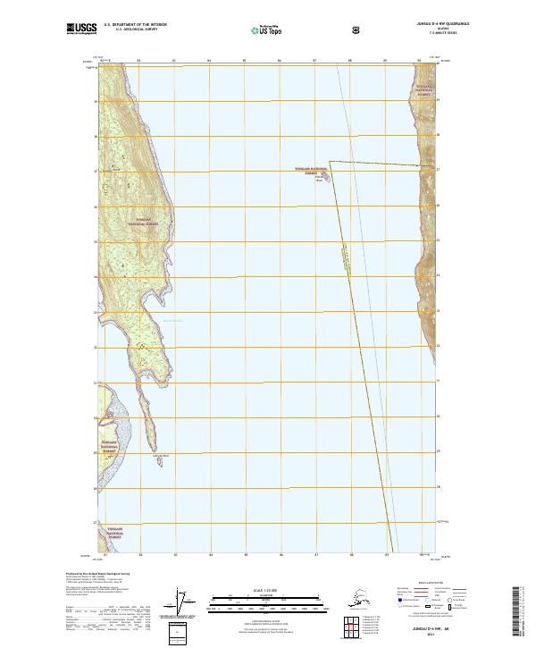
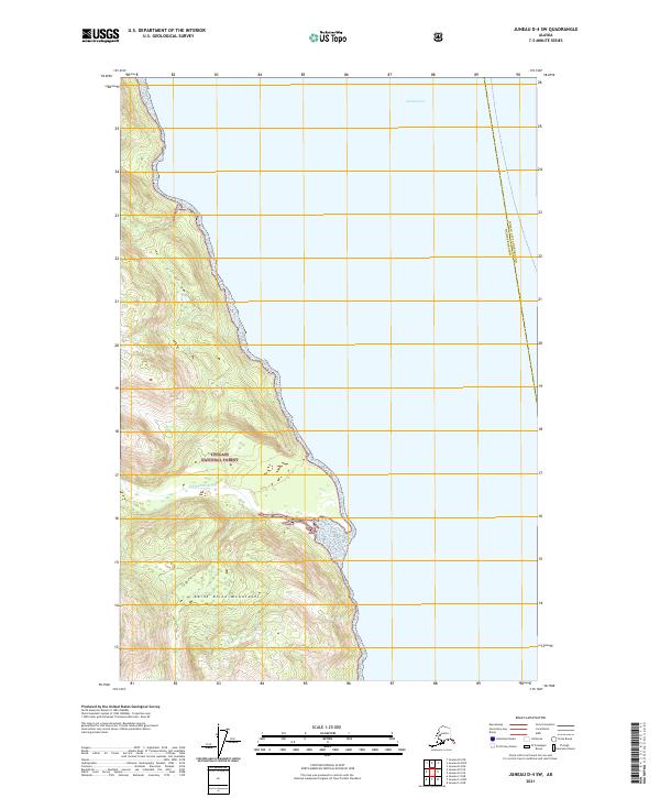
1949 Juneau D-4
Haines Borough, AK
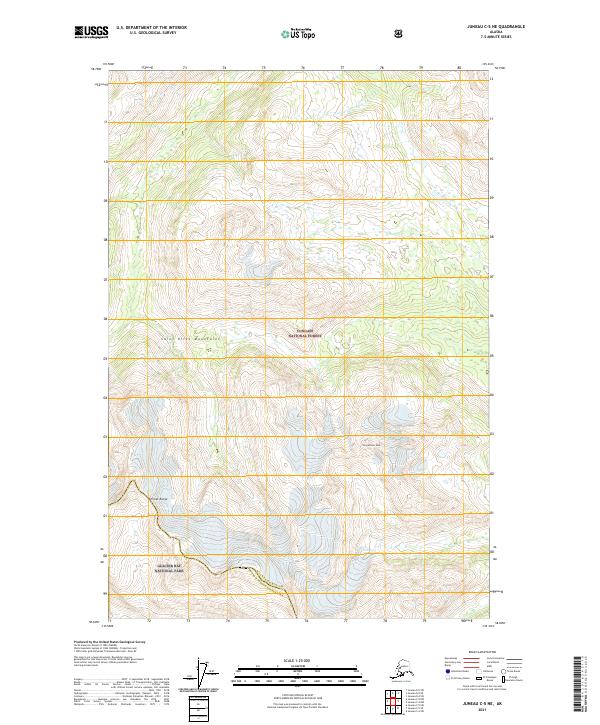
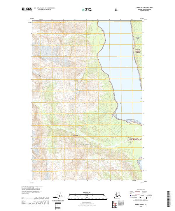
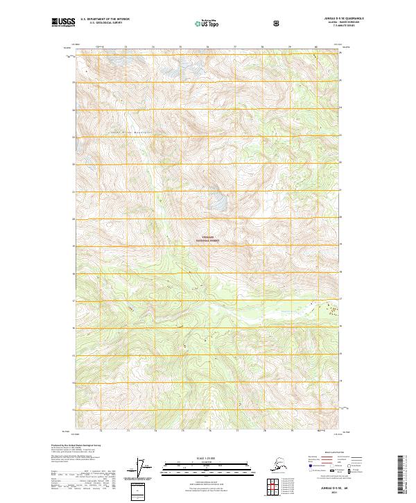
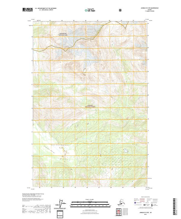
1949 Juneau D-5
Haines Borough, AK

1951 Atlin
Haines Borough, AK
1951 Juneau D-4
Haines Borough, AK
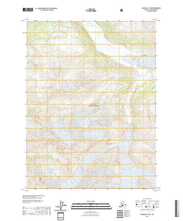
1951 Skagway A-1
Haines Borough, AK
1954 Skagway A-2
Haines Borough, AK
1954 Skagway B-2
Haines Borough, AK
1954 Skagway B-3
Haines Borough, AK
1954 Skagway B-4
Haines Borough, AK
1954 Skagway C-3
Haines Borough, AK
1954 Skagway C-4
Haines Borough, AK
1960 Atlin A-7
Haines Borough, AK
1960 Atlin A-8
Haines Borough, AK
1960 Atlin B-8
Haines Borough, AK
1960 Atlin
Haines Borough, AK
1991 Skagway A-1 NW
Haines Borough, AK

1991 Skagway A-2 NE
Haines Borough, AK
1991 Skagway B-1 SW
Haines Borough, AK
1991 Skagway B-2 SE
Haines Borough, AK
1991 Skagway B-2 SW
Haines Borough, AK
1991 Skagway B-3 NE
Haines Borough, AK
1991 Skagway B-3 NW
Haines Borough, AK
1991 Skagway B-3 SE
Haines Borough, AK
1991 Skagway B-3 SW
Haines Borough, AK
1992 Skagway B-4 NE
Haines Borough, AK
1992 Skagway B-4 NW
Haines Borough, AK
1996 Juneau B-4
Haines Borough, AK
1996 Juneau C-4
Haines Borough, AK
1996 Juneau D-5
Haines Borough, AK
2004 Atlin A-7
Haines Borough, AK
2004 Atlin A-8
Haines Borough, AK
2004 Skagway A-1
Haines Borough, AK

2004 Skagway A-2
Haines Borough, AK
2015 Juneau A-4 NW
Haines Borough, AK
2015 Juneau B-4 NW
Haines Borough, AK
2015 Juneau B-4 SW
Haines Borough, AK
2015 Juneau B-5 NE
Haines Borough, AK
2015 Juneau B-5 SE
Haines Borough, AK
2015 Juneau C-4 NW
Haines Borough, AK
2015 Juneau C-4 SW
Haines Borough, AK
2017 Atlin A-7 NW
Haines Borough, AK
2017 Atlin A-7 SE
Haines Borough, AK
2017 Atlin A-7 SW
Haines Borough, AK
2017 Atlin A-8 NE
Haines Borough, AK
2017 Atlin A-8 NW
Haines Borough, AK
2017 Atlin A-8 SE
Haines Borough, AK
2017 Atlin A-8 SW
Haines Borough, AK
2017 Atlin B-8 SE
Haines Borough, AK
2017 Atlin B-8 SW
Haines Borough, AK
2017 Juneau A-4 NE
Haines Borough, AK
2017 Juneau B-4 NE
Haines Borough, AK
2017 Juneau B-4 SE
Haines Borough, AK
2017 Juneau C-5 NE
Haines Borough, AK
2017 Juneau D-4 NW
Haines Borough, AK
2017 Juneau D-4 SW
Haines Borough, AK
2017 Juneau D-5 NE
Haines Borough, AK
2017 Juneau D-5 SE
Haines Borough, AK
2017 Juneau D-5 SW
Haines Borough, AK
2017 Skagway A-1 NE
Haines Borough, AK
2017 Skagway A-1 NW
Haines Borough, AK
2017 Skagway A-1 SE
Haines Borough, AK
2017 Skagway A-1 SW
Haines Borough, AK

2017 Skagway A-2 NE
Haines Borough, AK
2017 Skagway A-2 NW
Haines Borough, AK
2017 Skagway A-2 SE
Haines Borough, AK
2017 Skagway A-2 SW
Haines Borough, AK
2017 Skagway A-3 NE
Haines Borough, AK
2017 Skagway A-3 NW
Haines Borough, AK
2017 Skagway B-1 NE
Haines Borough, AK
2017 Skagway B-1 SE
Haines Borough, AK
2017 Skagway B-1 SW
Haines Borough, AK
2017 Skagway B-2 NE
Haines Borough, AK
2017 Skagway B-2 NW
Haines Borough, AK

2017 Skagway B-2 SE
Haines Borough, AK
2017 Skagway B-2 SW
Haines Borough, AK
2017 Skagway B-3 NE
Haines Borough, AK
2017 Skagway B-3 NW
Haines Borough, AK
2017 Skagway B-3 SE
Haines Borough, AK
2017 Skagway B-3 SW
Haines Borough, AK
2017 Skagway B-4 NE
Haines Borough, AK
2017 Skagway B-4 NW
Haines Borough, AK
2017 Skagway B-4 SE
Haines Borough, AK
2017 Skagway B-4 SW
Haines Borough, AK
2017 Skagway C-2 SW
Haines Borough, AK
2017 Skagway C-3 NE
Haines Borough, AK
2017 Skagway C-3 NW
Haines Borough, AK
2017 Skagway C-3 SE
Haines Borough, AK
2017 Skagway C-3 SW
Haines Borough, AK
2017 Skagway C-4 NE
Haines Borough, AK
2017 Skagway C-4 SE
Haines Borough, AK
2017 Skagway C-4 SW
Haines Borough, AK
2021 Atlin A-7 NW
Haines Borough, AK
2021 Atlin A-7 SE
Haines Borough, AK
2021 Atlin A-7 SW
Haines Borough, AK
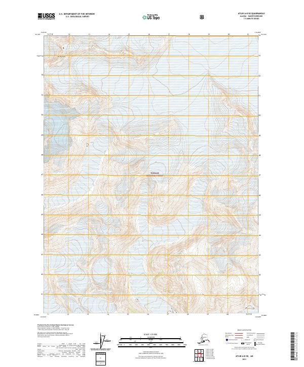
2021 Atlin A-8 NE
Haines Borough, AK
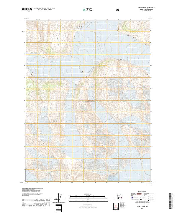
2021 Atlin A-8 NW
Haines Borough, AK
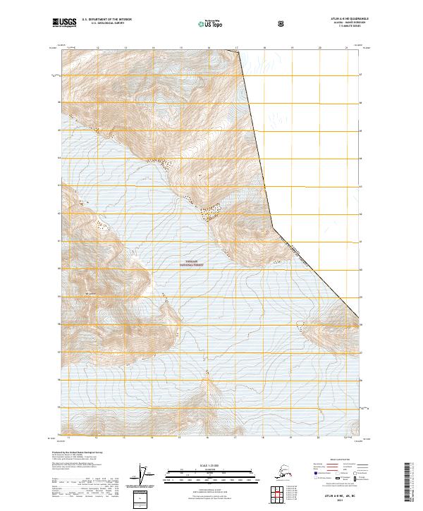
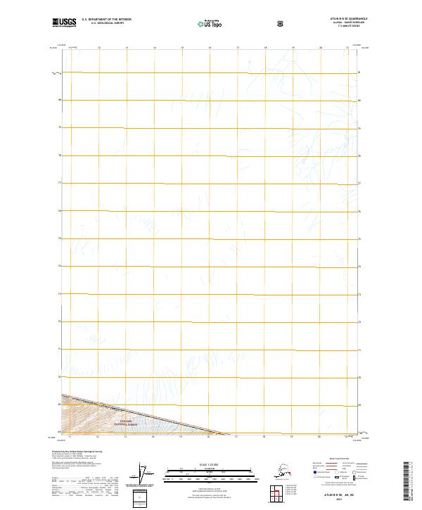
2021 Atlin A-8 SE
Haines Borough, AK
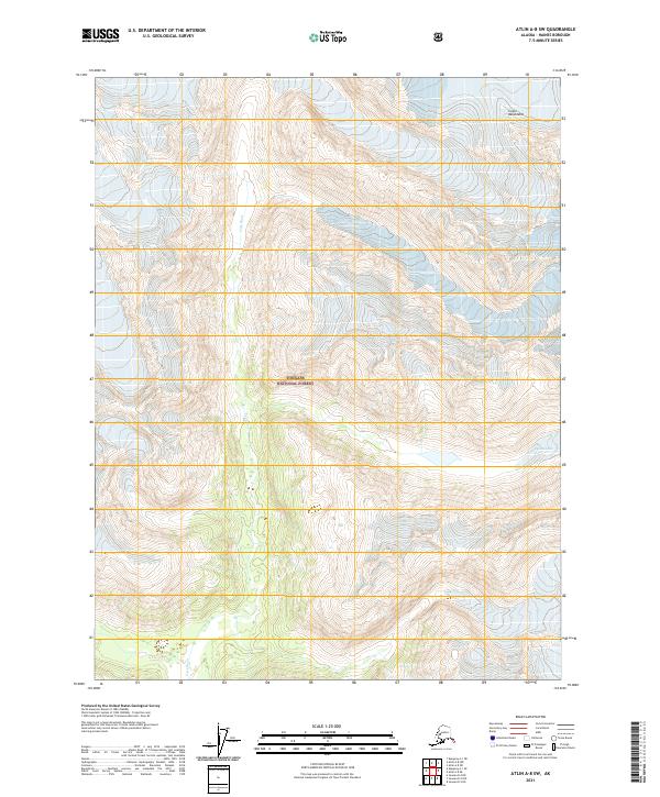
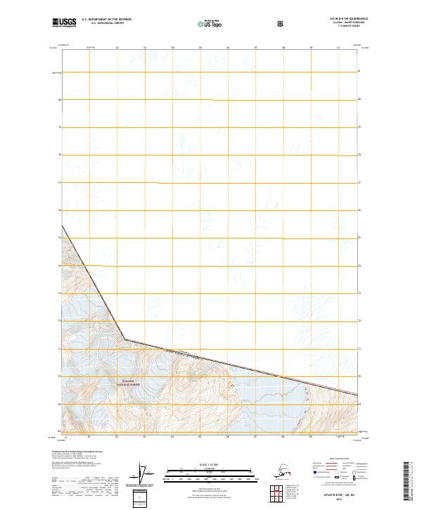
2021 Atlin A-8 SW
Haines Borough, AK
2021 Atlin B-8 SE
Haines Borough, AK
2021 Atlin B-8 SW
Haines Borough, AK
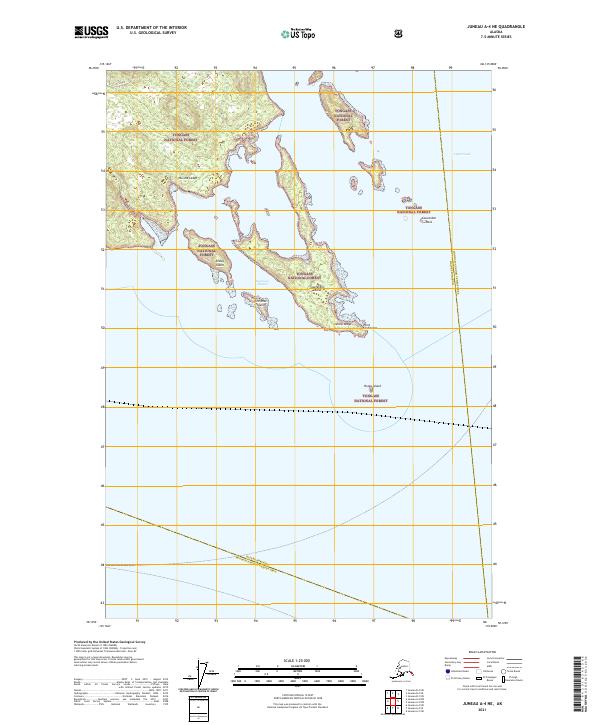
2021 Juneau A-4 NE
Haines Borough, AK
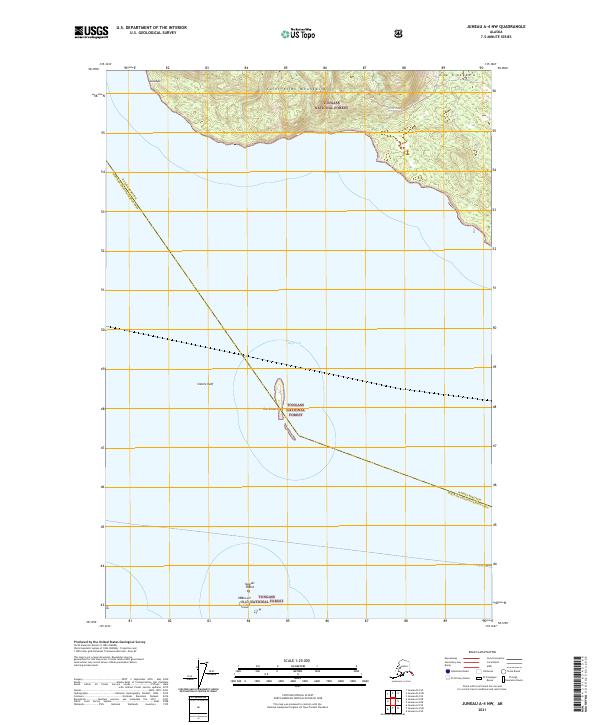
2021 Juneau A-4 NW
Haines Borough, AK
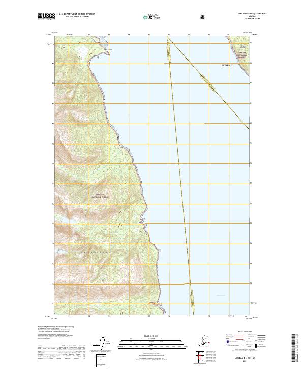
2021 Juneau B-4 NE
Haines Borough, AK
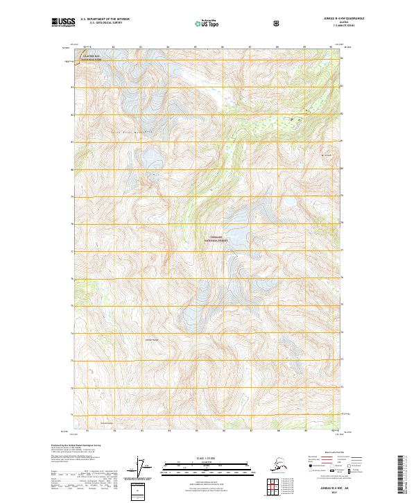
2021 Juneau B-4 NW
Haines Borough, AK
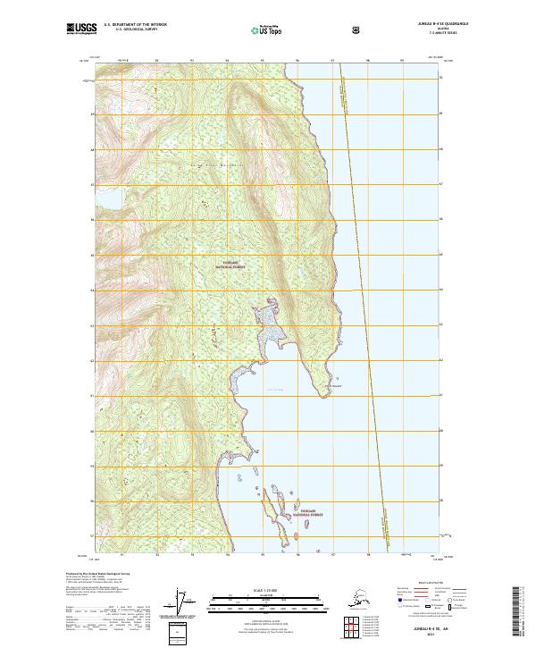
2021 Juneau B-4 SE
Haines Borough, AK

2021 Juneau B-4 SW
Haines Borough, AK
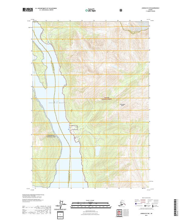
2021 Juneau B-5 NE
Haines Borough, AK
2021 Juneau B-5 SE
Haines Borough, AK
2021 Juneau C-4 NW
Haines Borough, AK
2021 Juneau C-4 SW
Haines Borough, AK
2021 Juneau C-5 NE
Haines Borough, AK
2021 Juneau D-4 NW
Haines Borough, AK
2021 Juneau D-4 SW
Haines Borough, AK
2021 Juneau D-5 NE
Haines Borough, AK
2021 Juneau D-5 SE
Haines Borough, AK
2021 Juneau D-5 SW
Haines Borough, AK
2021 Skagway A-1 NE
Haines Borough, AK
2021 Skagway A-1 NW
Haines Borough, AK
2021 Skagway A-1 SE
Haines Borough, AK
2021 Skagway A-1 SW
Haines Borough, AK
2021 Skagway A-2 SE
Haines Borough, AK
2021 Skagway A-2 SW
Haines Borough, AK
2021 Skagway B-1 NE
Haines Borough, AK
2021 Skagway B-1 SE
Haines Borough, AK
2021 Skagway B-1 SW
Haines Borough, AK