
1951 Map of Juneau
USGS Topo · Published 1951About this map
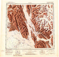
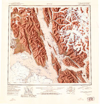
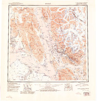
Juneau and its surrounding mining and maritime hubs are depicted here during the mid-century, a period when the capital city served as the primary gateway to the northern reaches of the Tongass National Forest. The map captures the complex industrial geography of the Gastineau Channel, showing the proximity of Douglas, Treadwell, and Thane to the urban center. North of the city, the Juneau Airport and Old Auke Village mark the transition toward the massive ice fields of the Coast Mountains, including the Mendenhall Glacier and Herbert Glacier. To the west, the remote outpost of Gustavus sits near the entrance to Glacier Bay National Monument, while the fishing and canning settlement of Hoonah on Chichagof Island illustrates the region's reliance on waterways like Icy Strait and Lynn Canal. This 1951 edition highlights the specialized infrastructure of the era, from the Treadwell Ditch to the Power House and several isolated canneries.
Find a feature on this map
137 named features on this map. Tap any name to fly to it.
Don’t see what you’re looking for? This feature index may not catch every label — zoom into the map to look around manually.
Map Details
Editions of this 1951 Juneau Map
4 editions found
Other maps of this area

1947 · Juneau B-3
USGS Topo · 1:63,360

1947 · Juneau B-2
USGS Topo · 1:63,360

1948 · Juneau C-5
USGS Topo · 1:63,360

1948 · Juneau B-4
USGS Topo · 1:63,360

1948 · Juneau A-3
USGS Topo · 1:63,360

1948 · Juneau B-6
USGS Topo · 1:63,360

1948 · Juneau C-4
USGS Topo · 1:63,360

1948 · Juneau A-4
USGS Topo · 1:63,360

1948 · Sitka D-1
USGS Topo · 1:63,360

1948 · Juneau C-6
USGS Topo · 1:63,360