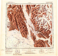
1951 Map of Juneau
USGS Topo · Published 1951About this map
Juneau serves as the focal point of this mid-century coastal study, situated at the base of steep terrain where the Alaska Juneau Mine and the historic Treadwell Mine operations defined the local economy. The map illustrates the complex maritime geography of the Panhandle, from the concentrated settlements of Douglas and Thane along the Gastineau Channel to the indigenous heritage sites like Old Auke Village. This era shows Gustavus and the Juneau Airport as critical aviation hubs for a region where transport relied heavily on waterways like Lynn Canal and Stephens Passage.
Find a feature on this map
144 named features on this map. Tap any name to fly to it.
Don’t see what you’re looking for? This feature index may not catch every label — zoom into the map to look around manually.
Map Details
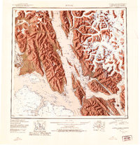
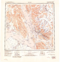
Editions of this 1951 Juneau Map
4 editions found

Other maps of this area

1947 · Juneau B-3
USGS Topo · 1:63,360

1947 · Juneau B-2
USGS Topo · 1:63,360

1948 · Juneau C-5
USGS Topo · 1:63,360

1948 · Juneau B-4
USGS Topo · 1:63,360

1948 · Juneau A-3
USGS Topo · 1:63,360

1948 · Juneau B-6
USGS Topo · 1:63,360

1948 · Juneau C-4
USGS Topo · 1:63,360

1948 · Juneau A-4
USGS Topo · 1:63,360

1948 · Sitka D-1
USGS Topo · 1:63,360

1948 · Juneau C-6
USGS Topo · 1:63,360