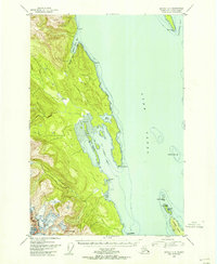
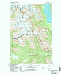
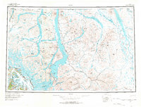
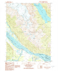
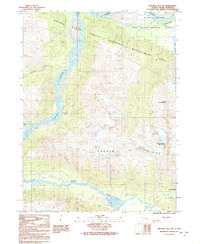
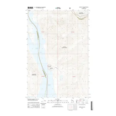
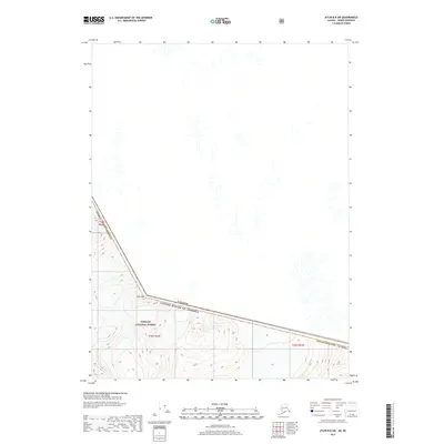
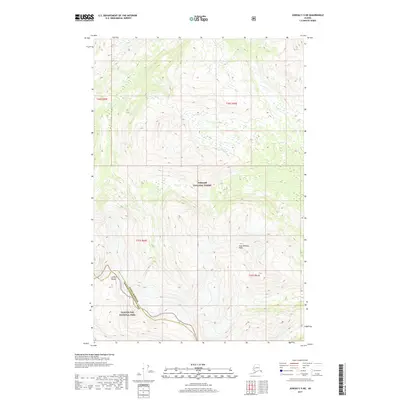
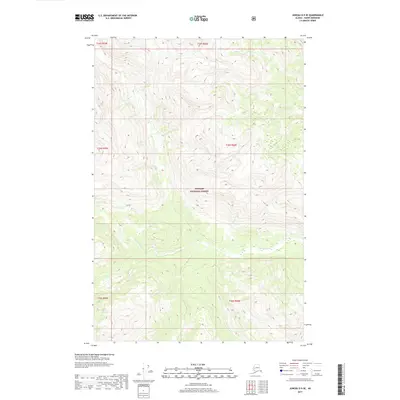
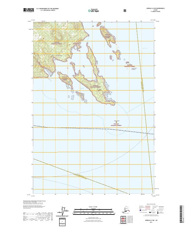
1948 Map of Juneau C-4
USGS Topo · Published 1956About this map
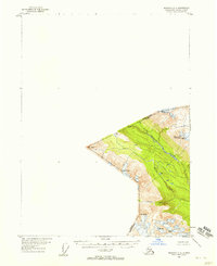
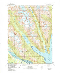
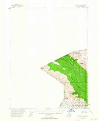
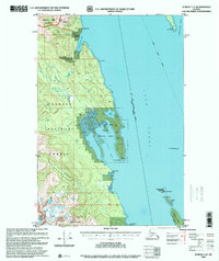
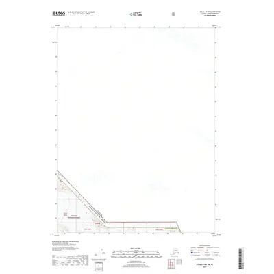
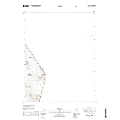
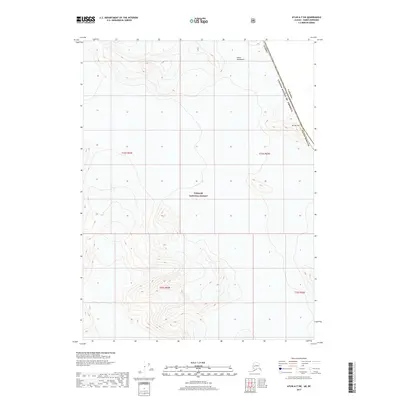
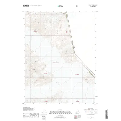
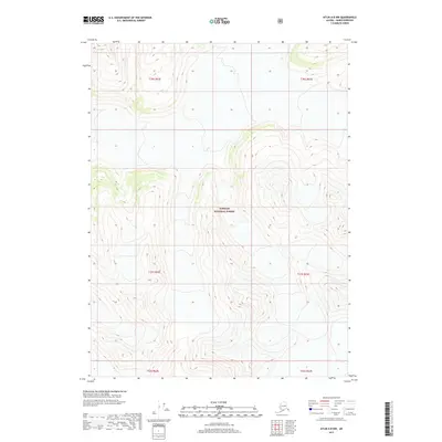
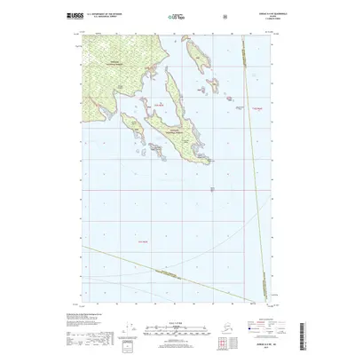
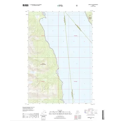
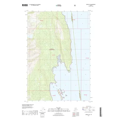
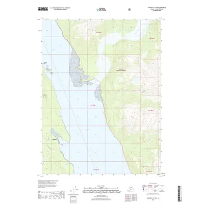
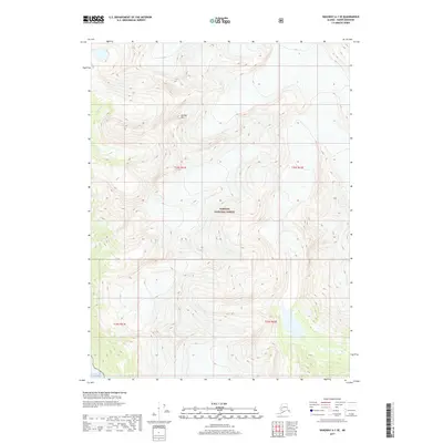
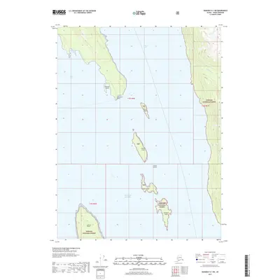
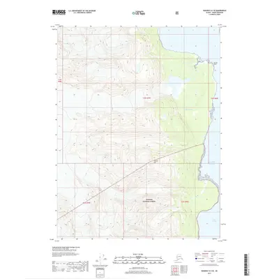
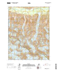
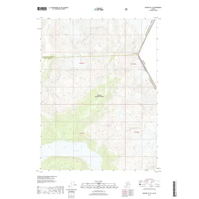
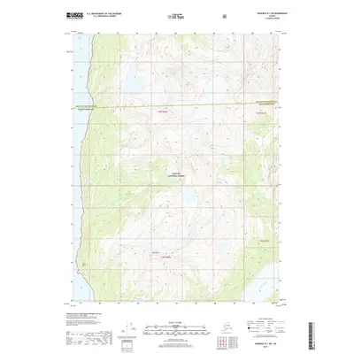
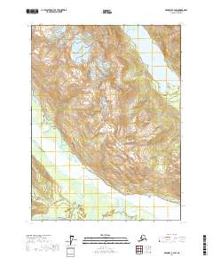
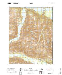
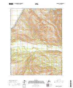
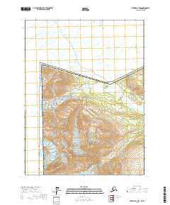
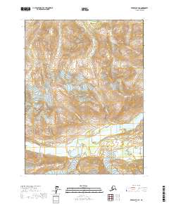
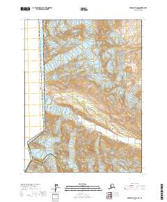
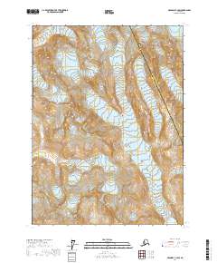
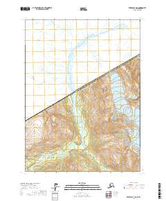
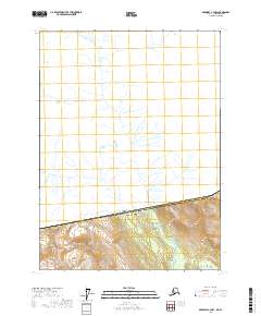
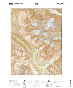
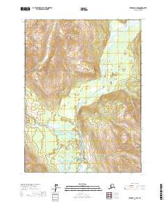
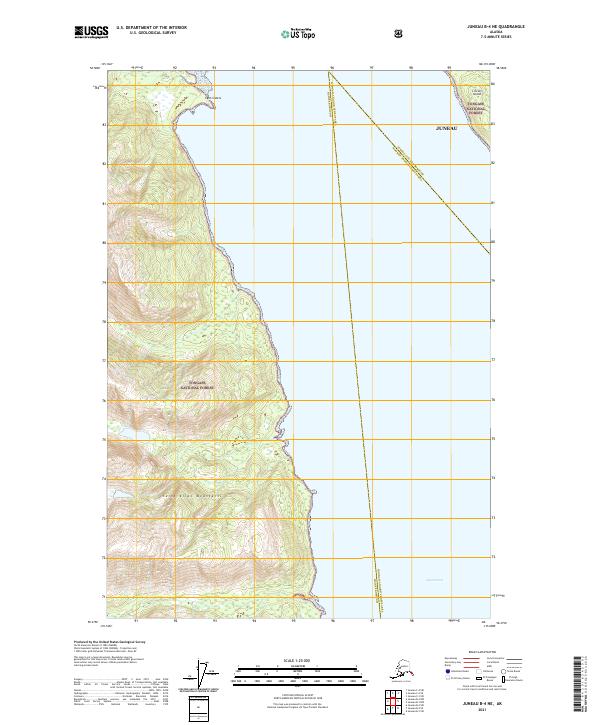
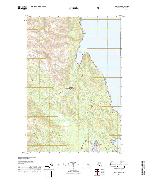
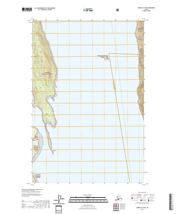
Chilkat Range peaks dominate the western edge of this coastal survey, where the towering Nun Mountain looks out over the intricate waterways of Southeast Alaska. The landscape is defined by the expansive Lynn Canal and the protected waters of St James Bay, which is sheltered by the Lynn Brothers islands. Marine navigation at the end of the 1940s is anchored by the Vanderbilt Reef Light, a critical landmark for vessels threading the passage between Lincoln Island and the mainland. In the northwest, the William Henry Bay area serves as a transition into the Glacier Bay National Monument. This survey captures a wild maritime environment before modern development, highlighting landforms like Lance Pt and Pt Whidbey alongside the many Tidal Flats that reveal the region's dramatic tidal range.
Find a feature on this map
23 named features on this map. Tap any name to fly to it.
Don’t see what you’re looking for? This feature index may not catch every label — zoom into the map to look around manually.
Map Details
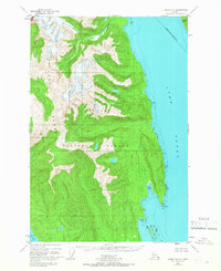
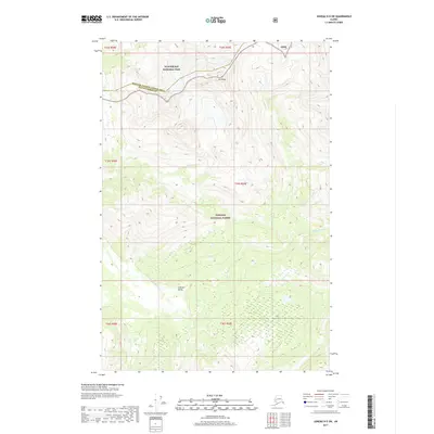
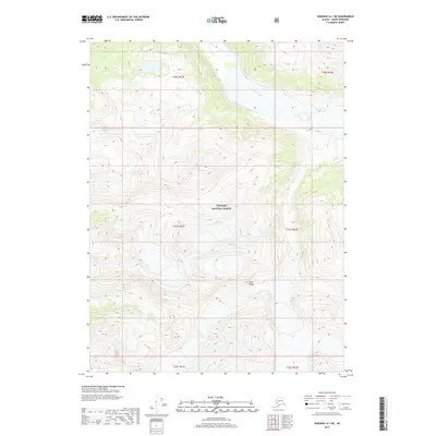
Editions of this 1948 Juneau C-4 Map
This is the sole edition of this map. No revisions or reprints were ever made.
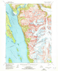
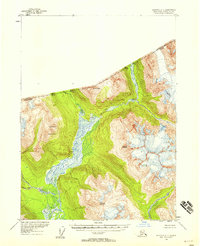
Historical Maps of Unorganized Borough Through Time
133 maps found
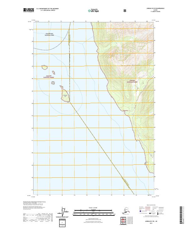
1948 Juneau B-4
Haines Borough, AK
1948 Juneau C-4
Haines Borough, AK
1948 Skagway A-1
Haines Borough, AK
1948 Skagway C-3
Haines Borough, AK
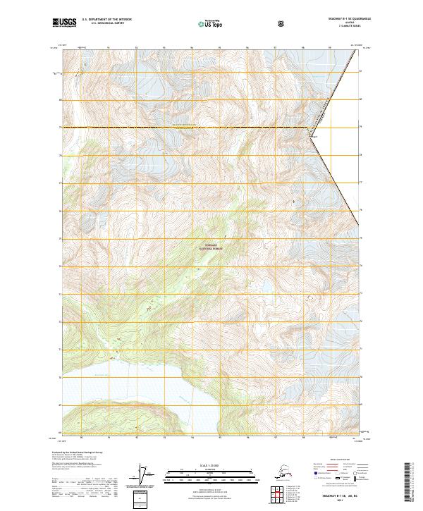
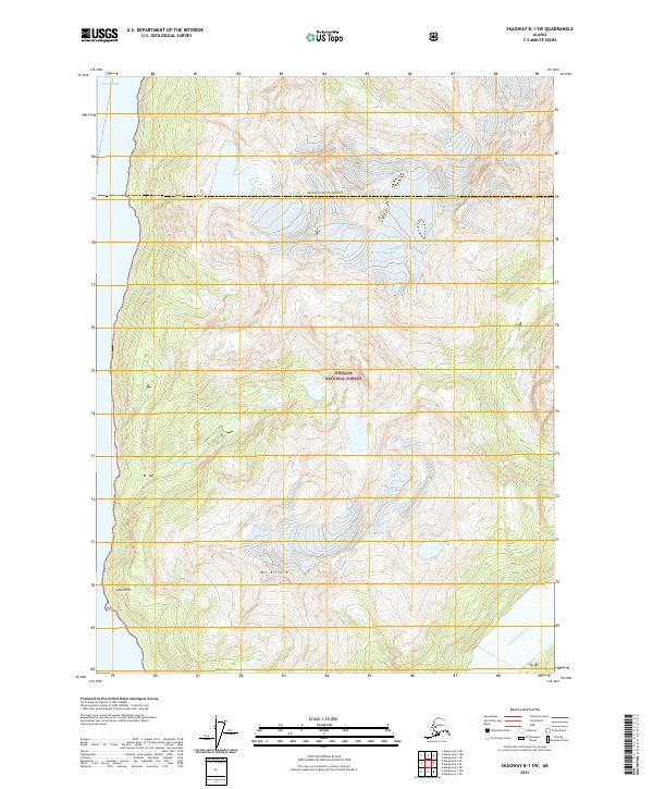
1948 Skagway C-4
Haines Borough, AK

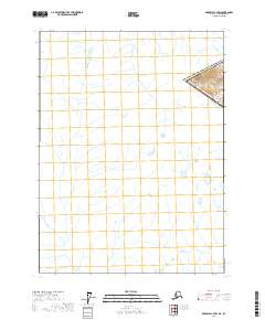
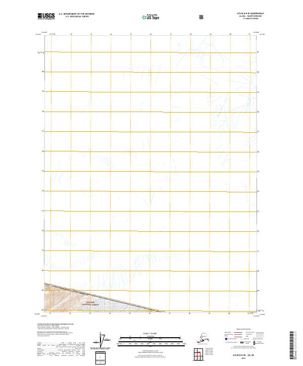
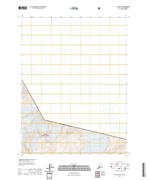
1949 Atlin
Haines Borough, AK
1949 Juneau B-4
Haines Borough, AK
1949 Juneau C-4
Haines Borough, AK
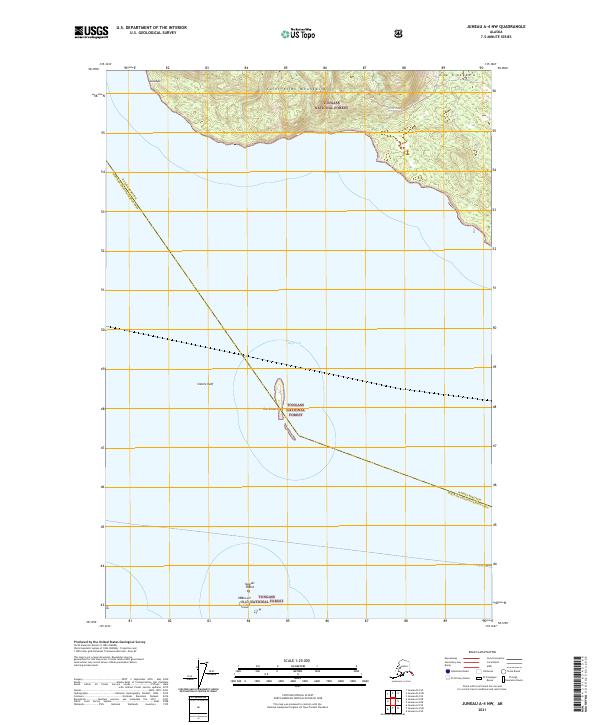
1949 Juneau D-4
Haines Borough, AK
1949 Juneau D-5
Haines Borough, AK

1951 Atlin
Haines Borough, AK
1951 Juneau D-4
Haines Borough, AK
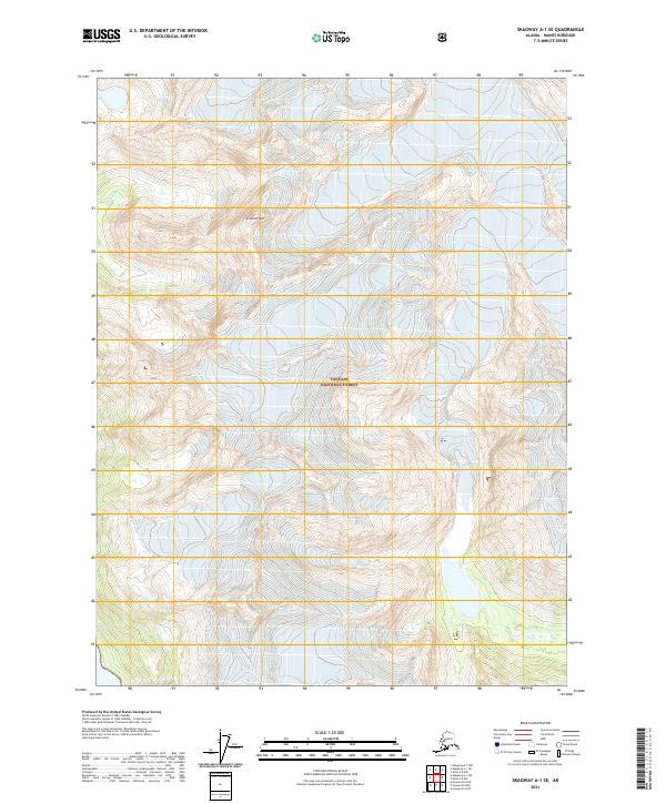
1951 Skagway A-1
Haines Borough, AK
1954 Skagway A-2
Haines Borough, AK
1954 Skagway B-2
Haines Borough, AK
1954 Skagway B-3
Haines Borough, AK
1954 Skagway B-4
Haines Borough, AK
1954 Skagway C-3
Haines Borough, AK
1954 Skagway C-4
Haines Borough, AK
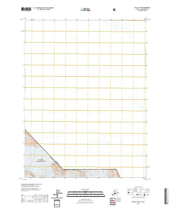
1960 Atlin A-7
Haines Borough, AK
1960 Atlin A-8
Haines Borough, AK
1960 Atlin B-8
Haines Borough, AK
1960 Atlin
Haines Borough, AK
1991 Skagway A-1 NW
Haines Borough, AK

1991 Skagway A-2 NE
Haines Borough, AK
1991 Skagway B-1 SW
Haines Borough, AK
1991 Skagway B-2 SE
Haines Borough, AK
1991 Skagway B-2 SW
Haines Borough, AK
1991 Skagway B-3 NE
Haines Borough, AK
1991 Skagway B-3 NW
Haines Borough, AK
1991 Skagway B-3 SE
Haines Borough, AK
1991 Skagway B-3 SW
Haines Borough, AK
1992 Skagway B-4 NE
Haines Borough, AK
1992 Skagway B-4 NW
Haines Borough, AK
1996 Juneau B-4
Haines Borough, AK
1996 Juneau C-4
Haines Borough, AK
1996 Juneau D-5
Haines Borough, AK
2004 Atlin A-7
Haines Borough, AK
2004 Atlin A-8
Haines Borough, AK
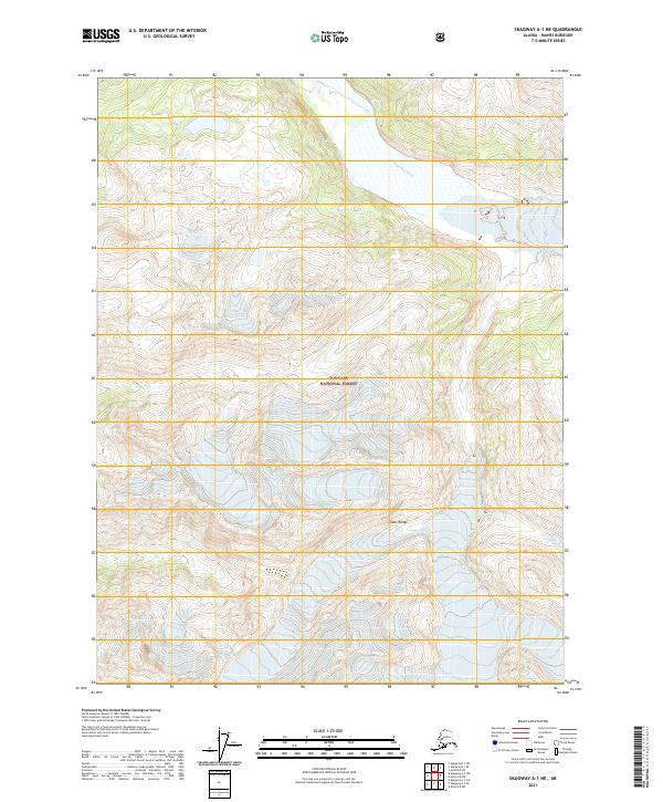
2004 Skagway A-1
Haines Borough, AK

2004 Skagway A-2
Haines Borough, AK
2015 Juneau A-4 NW
Haines Borough, AK
2015 Juneau B-4 NW
Haines Borough, AK
2015 Juneau B-4 SW
Haines Borough, AK
2015 Juneau B-5 NE
Haines Borough, AK
2015 Juneau B-5 SE
Haines Borough, AK
2015 Juneau C-4 NW
Haines Borough, AK
2015 Juneau C-4 SW
Haines Borough, AK
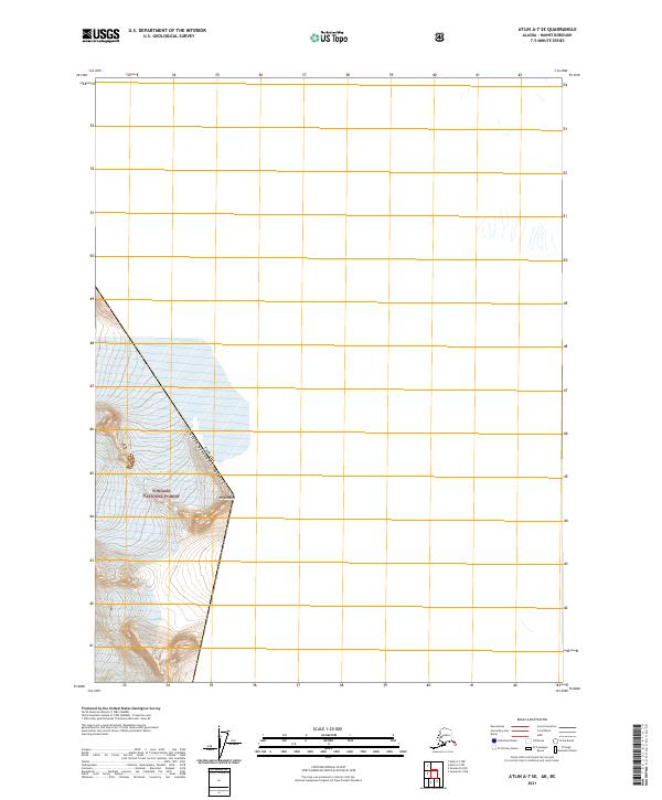
2017 Atlin A-7 NW
Haines Borough, AK
2017 Atlin A-7 SE
Haines Borough, AK
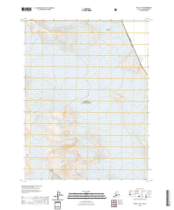
2017 Atlin A-7 SW
Haines Borough, AK
2017 Atlin A-8 NE
Haines Borough, AK
2017 Atlin A-8 NW
Haines Borough, AK
2017 Atlin A-8 SE
Haines Borough, AK
2017 Atlin A-8 SW
Haines Borough, AK
2017 Atlin B-8 SE
Haines Borough, AK
2017 Atlin B-8 SW
Haines Borough, AK
2017 Juneau A-4 NE
Haines Borough, AK
2017 Juneau B-4 NE
Haines Borough, AK
2017 Juneau B-4 SE
Haines Borough, AK
2017 Juneau C-5 NE
Haines Borough, AK
2017 Juneau D-4 NW
Haines Borough, AK
2017 Juneau D-4 SW
Haines Borough, AK
2017 Juneau D-5 NE
Haines Borough, AK
2017 Juneau D-5 SE
Haines Borough, AK
2017 Juneau D-5 SW
Haines Borough, AK
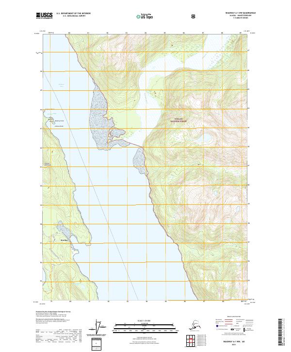
2017 Skagway A-1 NE
Haines Borough, AK
2017 Skagway A-1 NW
Haines Borough, AK
2017 Skagway A-1 SE
Haines Borough, AK
2017 Skagway A-1 SW
Haines Borough, AK

2017 Skagway A-2 NE
Haines Borough, AK
2017 Skagway A-2 NW
Haines Borough, AK
2017 Skagway A-2 SE
Haines Borough, AK
2017 Skagway A-2 SW
Haines Borough, AK
2017 Skagway A-3 NE
Haines Borough, AK
2017 Skagway A-3 NW
Haines Borough, AK
2017 Skagway B-1 NE
Haines Borough, AK
2017 Skagway B-1 SE
Haines Borough, AK
2017 Skagway B-1 SW
Haines Borough, AK
2017 Skagway B-2 NE
Haines Borough, AK
2017 Skagway B-2 NW
Haines Borough, AK

2017 Skagway B-2 SE
Haines Borough, AK
2017 Skagway B-2 SW
Haines Borough, AK
2017 Skagway B-3 NE
Haines Borough, AK
2017 Skagway B-3 NW
Haines Borough, AK
2017 Skagway B-3 SE
Haines Borough, AK
2017 Skagway B-3 SW
Haines Borough, AK
2017 Skagway B-4 NE
Haines Borough, AK
2017 Skagway B-4 NW
Haines Borough, AK
2017 Skagway B-4 SE
Haines Borough, AK
2017 Skagway B-4 SW
Haines Borough, AK
2017 Skagway C-2 SW
Haines Borough, AK
2017 Skagway C-3 NE
Haines Borough, AK
2017 Skagway C-3 NW
Haines Borough, AK
2017 Skagway C-3 SE
Haines Borough, AK
2017 Skagway C-3 SW
Haines Borough, AK
2017 Skagway C-4 NE
Haines Borough, AK
2017 Skagway C-4 SE
Haines Borough, AK
2017 Skagway C-4 SW
Haines Borough, AK
2021 Atlin A-7 NW
Haines Borough, AK
2021 Atlin A-7 SE
Haines Borough, AK
2021 Atlin A-7 SW
Haines Borough, AK
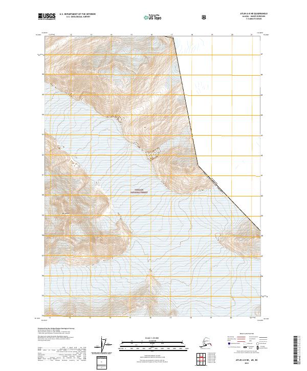
2021 Atlin A-8 NE
Haines Borough, AK
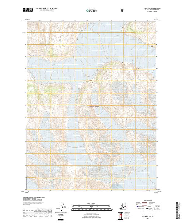
2021 Atlin A-8 NW
Haines Borough, AK
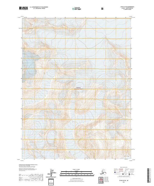
2021 Atlin A-8 SE
Haines Borough, AK
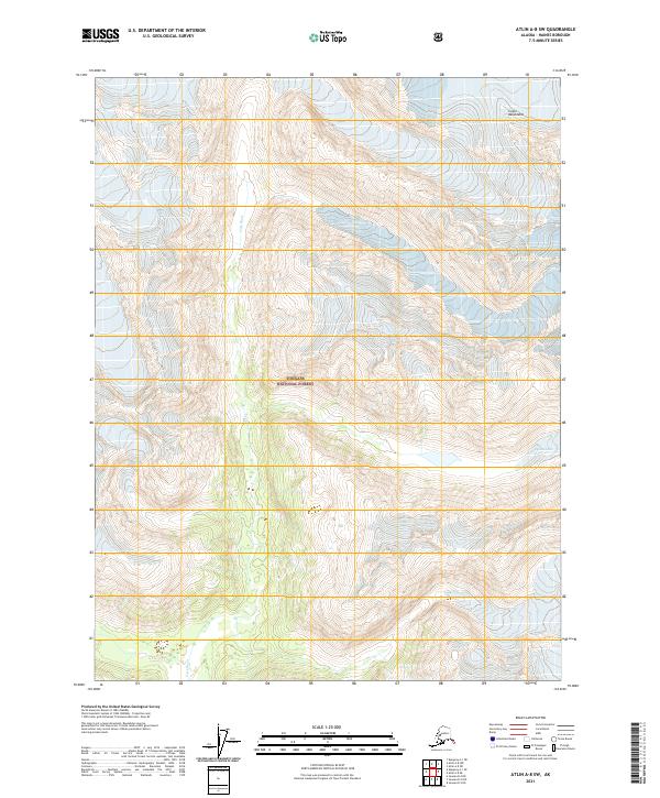
2021 Atlin A-8 SW
Haines Borough, AK
2021 Atlin B-8 SE
Haines Borough, AK
2021 Atlin B-8 SW
Haines Borough, AK
2021 Juneau A-4 NE
Haines Borough, AK
2021 Juneau A-4 NW
Haines Borough, AK
2021 Juneau B-4 NE
Haines Borough, AK
2021 Juneau B-4 NW
Haines Borough, AK
2021 Juneau B-4 SE
Haines Borough, AK

2021 Juneau B-4 SW
Haines Borough, AK
2021 Juneau B-5 NE
Haines Borough, AK
2021 Juneau B-5 SE
Haines Borough, AK
2021 Juneau C-4 NW
Haines Borough, AK
2021 Juneau C-4 SW
Haines Borough, AK
2021 Juneau C-5 NE
Haines Borough, AK
2021 Juneau D-4 NW
Haines Borough, AK
2021 Juneau D-4 SW
Haines Borough, AK
2021 Juneau D-5 NE
Haines Borough, AK
2021 Juneau D-5 SE
Haines Borough, AK
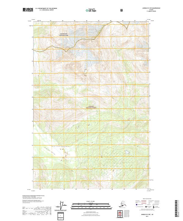
2021 Juneau D-5 SW
Haines Borough, AK
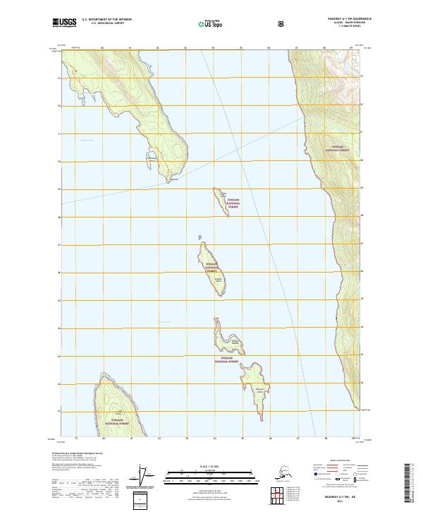
2021 Skagway A-1 NE
Haines Borough, AK
2021 Skagway A-1 NW
Haines Borough, AK
2021 Skagway A-1 SE
Haines Borough, AK
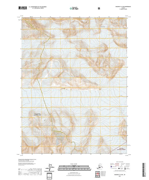
2021 Skagway A-1 SW
Haines Borough, AK
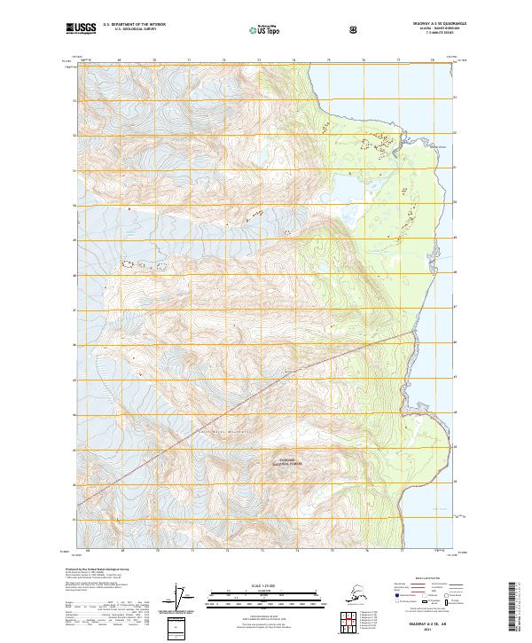
2021 Skagway A-2 SE
Haines Borough, AK
2021 Skagway A-2 SW
Haines Borough, AK
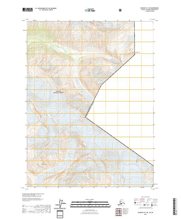
2021 Skagway B-1 NE
Haines Borough, AK
2021 Skagway B-1 SE
Haines Borough, AK
2021 Skagway B-1 SW
Haines Borough, AK