
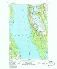
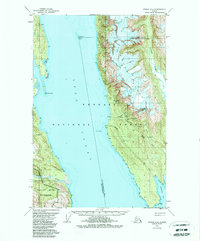
1949 Map of Juneau D-4
USGS Topo · Published 1965About this map
Mining operations and coastal navigation define this mid-century survey of the rugged corridor along Lynn Canal. Deep in the Tongass National Forest, a series of high-altitude mining sites including the Horrible Mine, Kensington Mine, and Jualin Mine are documented alongside the Aerial Tram infrastructure that supported them. These industrial pockets contrast sharply with the glacial terrain of Lions Head Mtn and the narrow drainage of Ophir Creek.
Find a feature on this map
36 named features on this map. Tap any name to fly to it.
Don’t see what you’re looking for? This feature index may not catch every label — zoom into the map to look around manually.
Map Details
Editions of this 1949 Juneau D-4 Map
3 editions found
Other maps of this area

1948 · Juneau C-5
USGS Topo · 1:63,360

1948 · Juneau C-4
USGS Topo · 1:63,360

1948 · Juneau D-3
USGS Topo · 1:63,360

1948 · Skagway A-1
USGS Topo · 1:63,360

1949 · Atlin
USGS Topo · 1:250,000

1949 · Juneau D-5
USGS Topo · 1:63,360

1949 · Juneau C-4
USGS Topo · 1:63,360

1949 · Juneau D-3
USGS Topo · 1:63,360

1951 · Juneau
USGS Topo · 1:250,000

1951 · Skagway A-1
USGS Topo · 1:63,360