
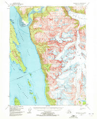
1948 Map of Skagway A-1
USGS Topo · Published 1964About this map
The Chilkoot Peninsula divides the maritime landscape of Southeast Alaska in this 1948 topographic study. Dominating the eastern portion of the map is the massive Meade Glacier, which feeds the Katzehin River as it flows toward the deep waters of Chilkoot Inlet. This coastal area, largely contained within the Tongass National Forest, showcases a complex network of waterways including Chilkat Inlet and the expansive Lynn Canal.
Find a feature on this map
26 named features on this map. Tap any name to fly to it.
Don’t see what you’re looking for? This feature index may not catch every label — zoom into the map to look around manually.
Map Details
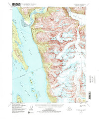
Editions of this 1948 Skagway A-1 Map
3 editions found
Other maps of this area

1948 · Juneau D-3
USGS Topo · 1:63,360

1949 · Atlin
USGS Topo · 1:250,000

1949 · Juneau D-5
USGS Topo · 1:63,360

1949 · Skagway B-1
USGS Topo · 1:63,360

1949 · Juneau D-4
USGS Topo · 1:63,360

1949 · Juneau D-3
USGS Topo · 1:63,360

1951 · Juneau
USGS Topo · 1:250,000

1951 · Skagway A-1
USGS Topo · 1:63,360

1951 · Atlin
USGS Topo · 1:250,000

1951 · Juneau D-4
USGS Topo · 1:63,360