
1949 Map of Juneau D-5
USGS Topo · Published 1959About this map
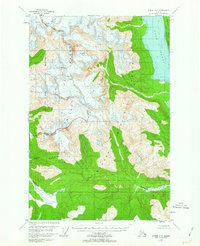
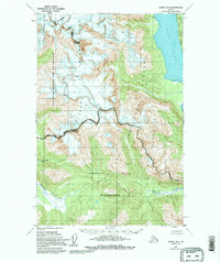
The Chilkat Range dominates this mid-century Alaskan survey, where ice and vertical relief define the land. Steep elevations rise quickly from the eastern waters of Lynn Canal, where Sullivan Island sits near the coastline. This environment is largely protected within the Glacier Bay National Monument and the Tongass National Forest, showing a wilderness that remained primarily defined by natural boundaries rather than human settlement. The presence of Crevasses at high elevations and the rugged path of the Endicott River underscore the difficulty of this terrain during the 1940s. Centered on Mt Young, the map illustrates a complex glaciated landscape before modern climate shifts significantly altered its ice features, providing a baseline for environmental historians and researchers of the northern Panhandle.
Find a feature on this map
12 named features on this map. Tap any name to fly to it.
Don’t see what you’re looking for? This feature index may not catch every label — zoom into the map to look around manually.
Map Details
Editions of this 1949 Juneau D-5 Map
3 editions found
Other maps of this area

1948 · Juneau C-5
USGS Topo · 1:63,360

1948 · Juneau C-4
USGS Topo · 1:63,360

1948 · Juneau C-6
USGS Topo · 1:63,360

1948 · Skagway A-1
USGS Topo · 1:63,360

1949 · Juneau D-6
USGS Topo · 1:63,360

1949 · Juneau D-4
USGS Topo · 1:63,360

1949 · Juneau C-4
USGS Topo · 1:63,360

1950 · Juneau C-6
USGS Topo · 1:63,360

1951 · Juneau
USGS Topo · 1:250,000

1951 · Skagway A-1
USGS Topo · 1:63,360