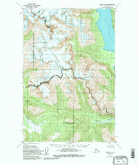
1949 Map of Juneau D-5
USGS Topo · Published 1995About this map
Lynn Canal defines the eastern edge of this coastal Alaskan landscape, where the waters of the Endicott River meet the sea after descending through the Chilkat Range. The map reflects a period of significant land management transitions, with the Endicott River Wilderness and Glacier Bay National Park and Preserve occupying much of the terrain. The presence of the Haines Borough Preserve Boundary and the Tongass National Forest highlights the overlapping jurisdictional history of the region. Physical landmarks such as Sullivan Island and high-altitude Crevasses contrast with the minimal human footprint, represented primarily by the settlement of Young. This topographic record, based on late 1940s field data, captures a wilderness at the intersection of protected national parkland and the maritime heritage of Southeast Alaska.
Find a feature on this map
13 named features on this map. Tap any name to fly to it.
Don’t see what you’re looking for? This feature index may not catch every label — zoom into the map to look around manually.
Map Details
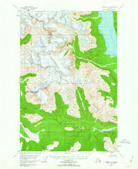
Editions of this 1949 Juneau D-5 Map
3 editions found
Other maps of this area

1948 · Juneau C-5
USGS Topo · 1:63,360

1948 · Juneau C-4
USGS Topo · 1:63,360

1948 · Juneau C-6
USGS Topo · 1:63,360

1948 · Skagway A-1
USGS Topo · 1:63,360

1949 · Juneau D-6
USGS Topo · 1:63,360

1949 · Juneau D-5
USGS Topo · 1:63,360

1949 · Juneau D-4
USGS Topo · 1:63,360

1949 · Juneau C-4
USGS Topo · 1:63,360

1950 · Juneau C-6
USGS Topo · 1:63,360

1951 · Juneau
USGS Topo · 1:250,000