
1949 Map of Skagway B-1
USGS Topo · Published 1964About this map
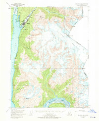
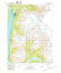
Skagway serves as the focal point of this coastal survey, situated where the Taiya Inlet meets the mouth of the Skagway River. The map illustrates the town's critical role as a transportation hub, featuring the White Pass and Yukon Route railway and a prominent Ferry Terminal on the waterfront. The surrounding landscape is defined by massive ice fields and steep terrain, including the Denver Glacier and South Glacier, which flank the international border with Canada.
Find a feature on this map
32 named features on this map. Tap any name to fly to it.
Don’t see what you’re looking for? This feature index may not catch every label — zoom into the map to look around manually.
Map Details
Editions of this 1949 Skagway B-1 Map
3 editions found
Other maps of this area

1948 · Skagway C-2
USGS Topo · 1:63,360

1948 · Skagway A-1
USGS Topo · 1:63,360

1948 · Skagway C-1
USGS Topo · 1:63,360

1949 · Atlin
USGS Topo · 1:250,000

1951 · Skagway A-1
USGS Topo · 1:63,360

1951 · Skagway C-1
USGS Topo · 1:63,360

1951 · Atlin
USGS Topo · 1:250,000

1951 · Skagway B-1
USGS Topo · 1:63,360

1951 · Skagway C-2
USGS Topo · 1:63,360

1952 · Skagway
USGS Topo · 1:250,000