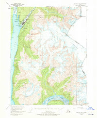
1949 Map of Skagway B-1
USGS Topo · Published 1970About this map
Skagway serves as the focal point of this late 1940s survey, marking the vital gateway from Taiya Inlet to the interior. The town’s industrial and logistical importance is evident in the alignment of the White Pass and Yukon River railroad, which snakes northward alongside the Skagway River. The map highlights the town's infrastructure at mid-century, including a Landing Strip, Ferry Terminal, and a Powder House positioned just outside the main settlement.
Find a feature on this map
33 named features on this map. Tap any name to fly to it.
Don’t see what you’re looking for? This feature index may not catch every label — zoom into the map to look around manually.
Map Details
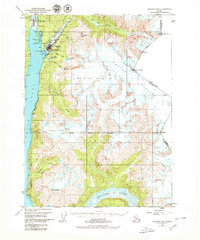
Editions of this 1949 Skagway B-1 Map
3 editions found
Other maps of this area

1948 · Skagway C-2
USGS Topo · 1:63,360

1948 · Skagway A-1
USGS Topo · 1:63,360

1948 · Skagway C-1
USGS Topo · 1:63,360

1949 · Atlin
USGS Topo · 1:250,000

1949 · Skagway B-1
USGS Topo · 1:63,360

1951 · Skagway A-1
USGS Topo · 1:63,360

1951 · Skagway C-1
USGS Topo · 1:63,360

1951 · Atlin
USGS Topo · 1:250,000

1951 · Skagway B-1
USGS Topo · 1:63,360

1951 · Skagway C-2
USGS Topo · 1:63,360