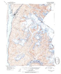
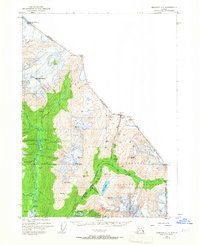
1951 Map of Skagway B-1
USGS Topo · Published 1952About this map
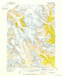
Skagway serves as the focal point of this 1950s survey, positioned at the head of Taiya Inlet where the White Pass and Yukon Route begins its ascent into the mountains. The town's industrial and transit infrastructure is clearly marked, including the Powder House, Oil Tanks, and the early alignment of the Klondike Highway. The map illustrates the gateway character of this frontier settlement, wedged between the Skagway River and the steep slopes of the Coast Range.
Find a feature on this map
32 named features on this map. Tap any name to fly to it.
Don’t see what you’re looking for? This feature index may not catch every label — zoom into the map to look around manually.
Map Details
Editions of this 1951 Skagway B-1 Map
2 editions found
Other maps of this area
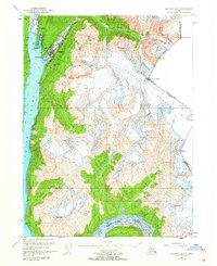
1948 · Skagway C-2
USGS Topo · 1:63,360
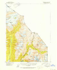
1948 · Skagway A-1
USGS Topo · 1:63,360
1948 · Skagway C-1
USGS Topo · 1:63,360

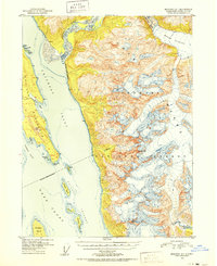
1949 · Atlin
USGS Topo · 1:250,000
1949 · Skagway B-1
USGS Topo · 1:63,360
1951 · Skagway A-1
USGS Topo · 1:63,360
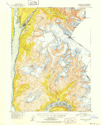
1951 · Skagway C-1
USGS Topo · 1:63,360

1951 · Atlin
USGS Topo · 1:250,000
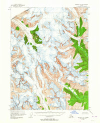
1951 · Skagway C-2
USGS Topo · 1:63,360

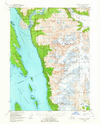
1952 · Skagway
USGS Topo · 1:250,000