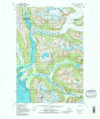
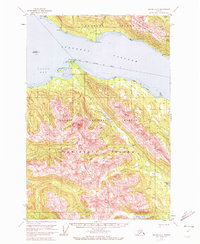
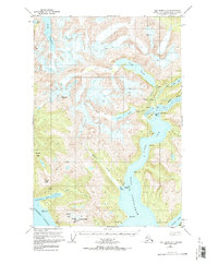
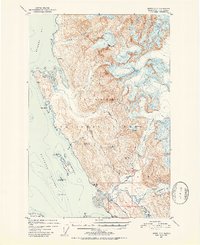
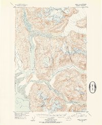
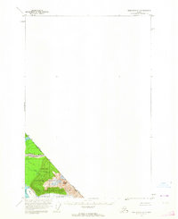
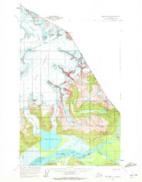
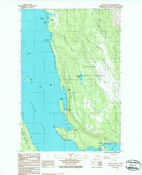
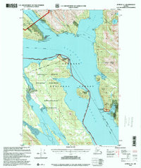
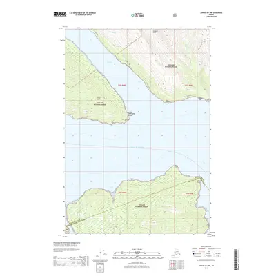
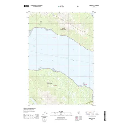
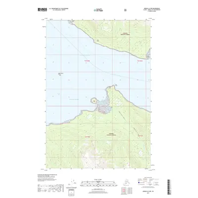
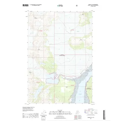
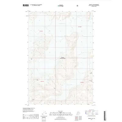
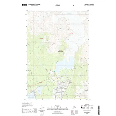
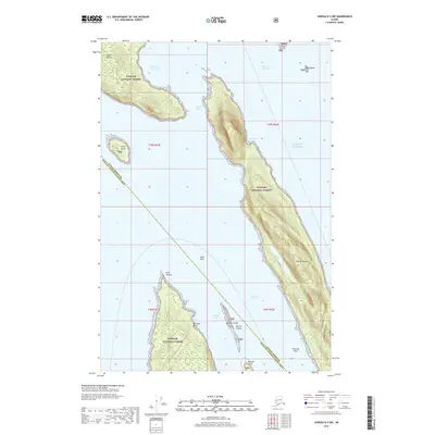
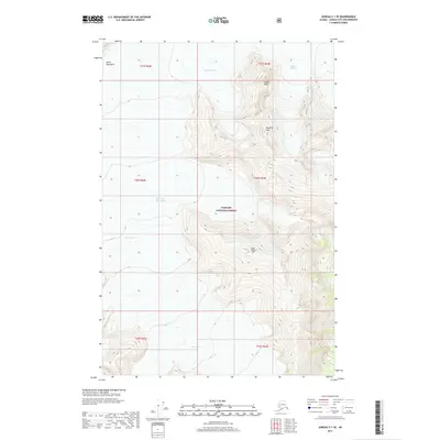
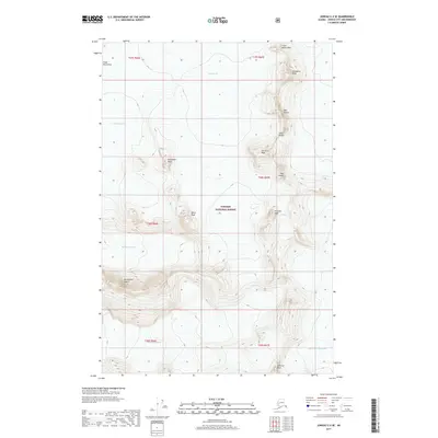
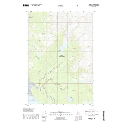
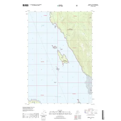
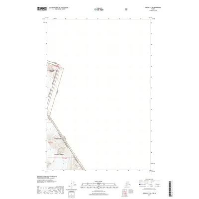
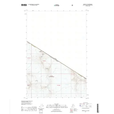
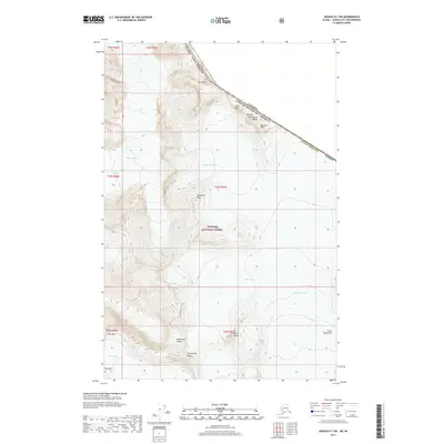
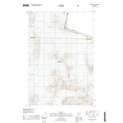
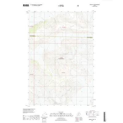
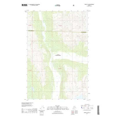
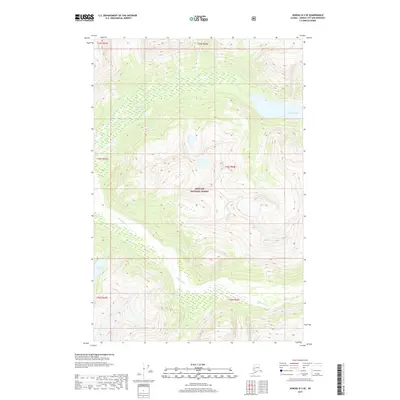
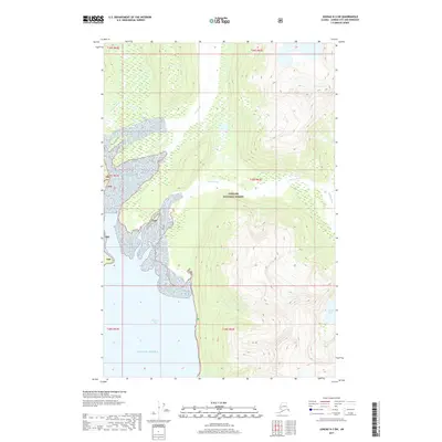
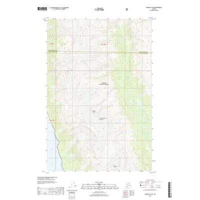
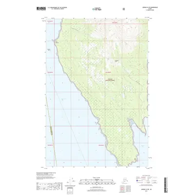
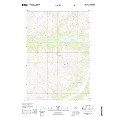
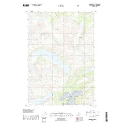
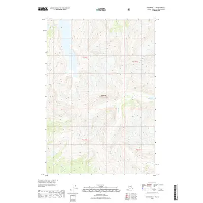
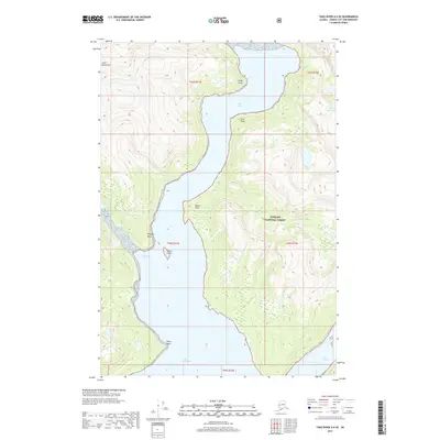
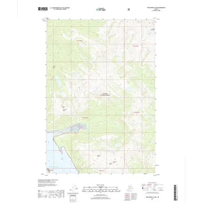
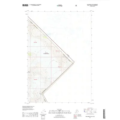
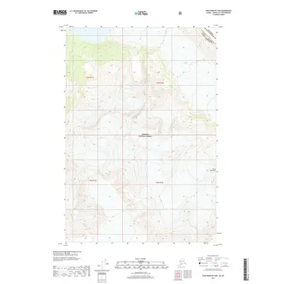
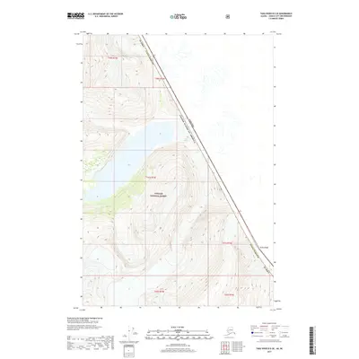
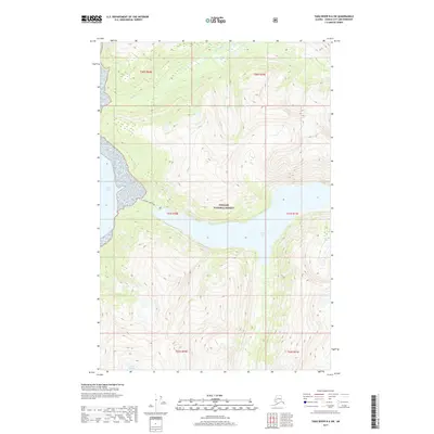
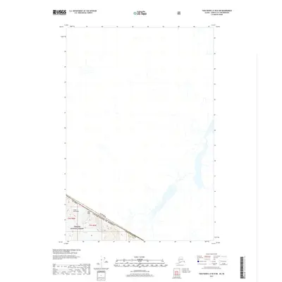
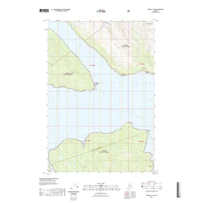
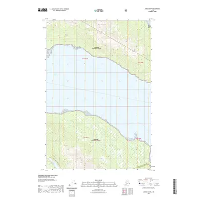
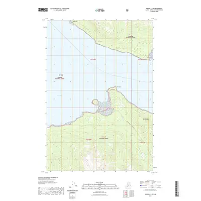
1947 Map of Juneau B-3
USGS Topo · Published 1955About this map
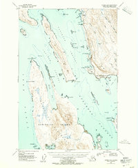
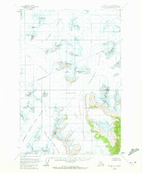
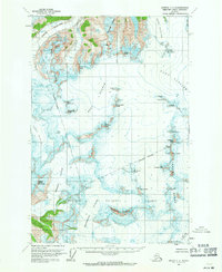
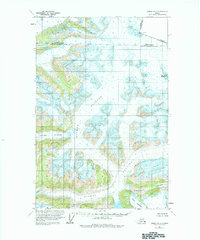
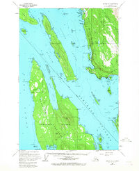
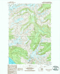
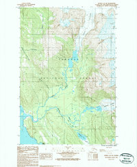
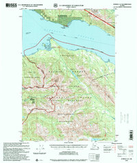
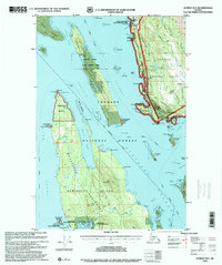
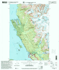
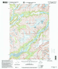
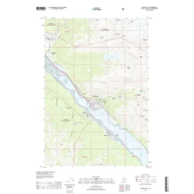
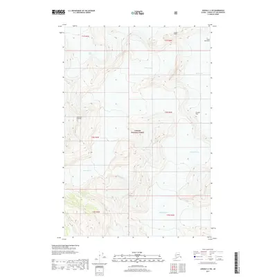
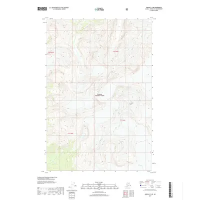
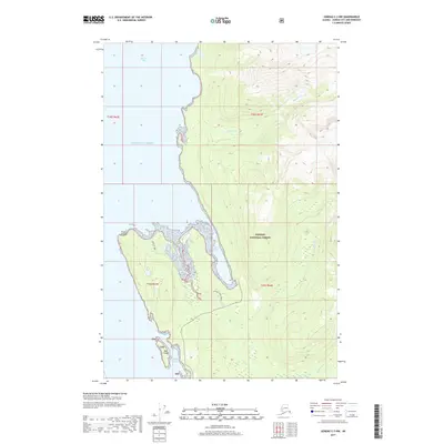
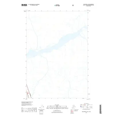
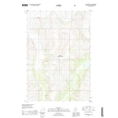
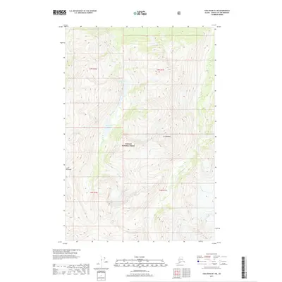
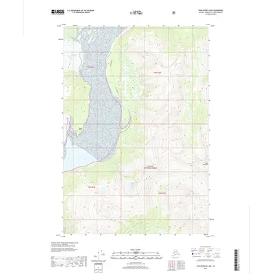
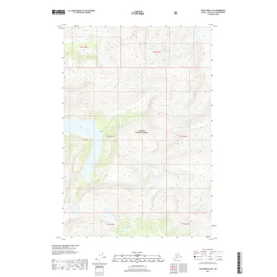
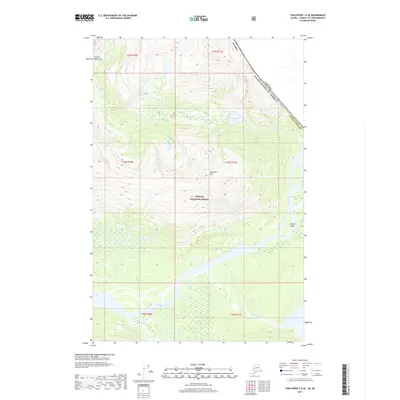
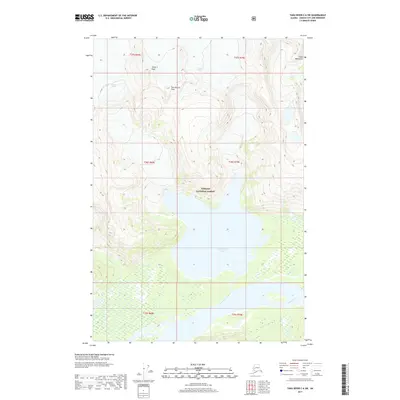
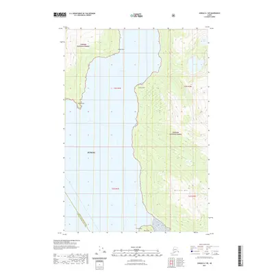
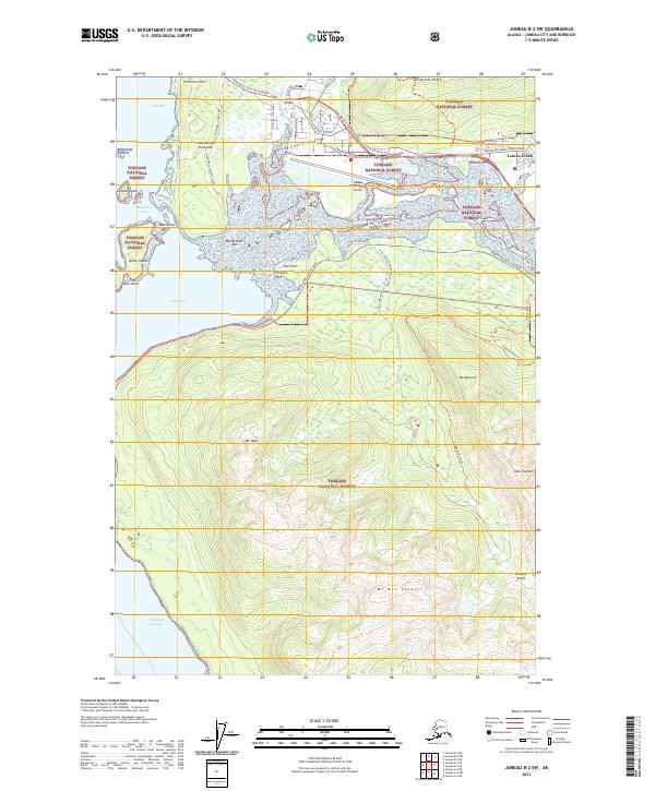
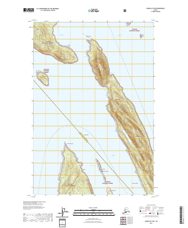
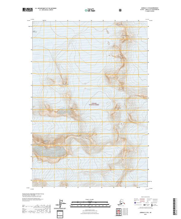
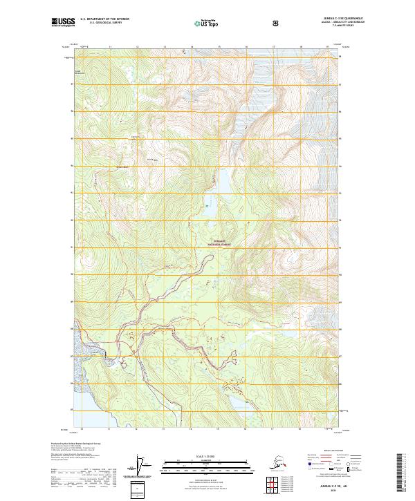
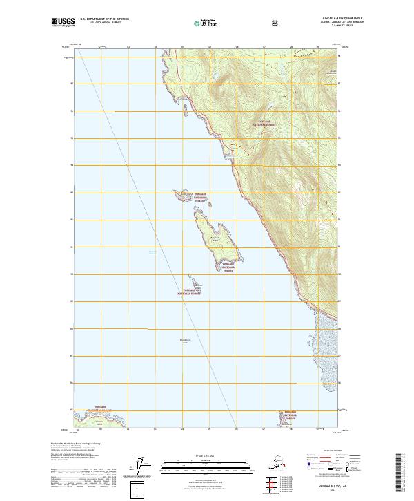
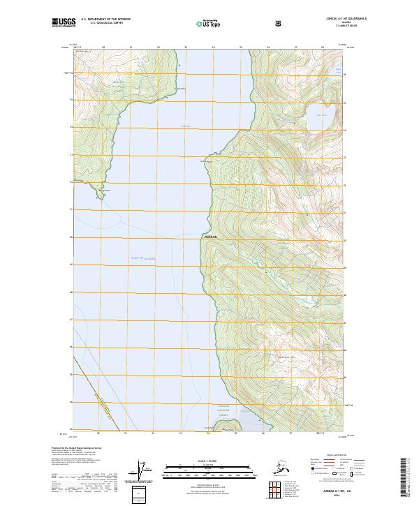
Shelter Island and the intricate coastal waters of the Alexander Archipelago dominate this 1947 survey, where maritime navigation is paramount. The presence of a lighthouse at Point Retreat and numerous lights and reefs across Saginaw Channel and Favorite Channel highlight the region's reliance on sea travel before the extensive development of the inland interior. Along the mainland, the Glacier Highway skirts the coast, connecting small outposts like Dotsons Landing and the mission at St Terese. Inland, the landscape is defined by the steep rises of Auke Mtn and the drainage of Peterson Creek, with the Bear Creek Trail and Spaulding Trail providing access into the dense Tongass National Forest. These trails and small industrial markers like a quarry near Pearl Harbor suggest a mid-century economy built on local extraction and wilderness access.
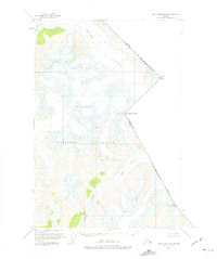
Find a feature on this map
83 named features on this map. Tap any name to fly to it.
Don’t see what you’re looking for? This feature index may not catch every label — zoom into the map to look around manually.
Map Details
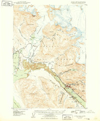
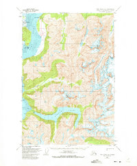
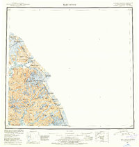
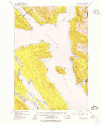
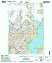
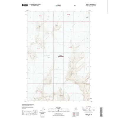
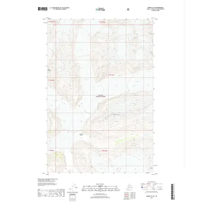
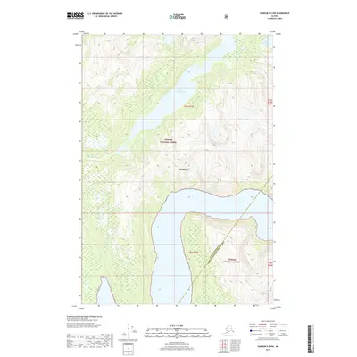
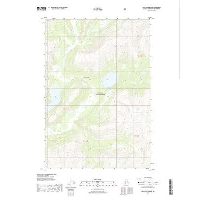
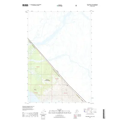
Editions of this 1947 Juneau B-3 Map
2 editions found
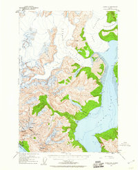
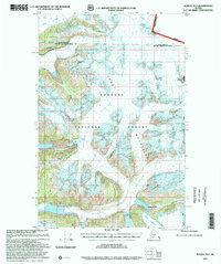
Historical Maps of Saint Terese Through Time
201 maps found
1947 Juneau B-2
Juneau Borough, AK
1947 Juneau B-3
Juneau Borough, AK
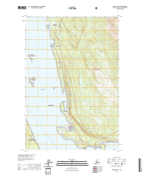
1948 Juneau B-1
Juneau Borough, AK
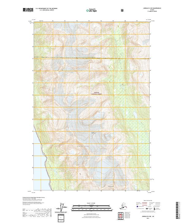
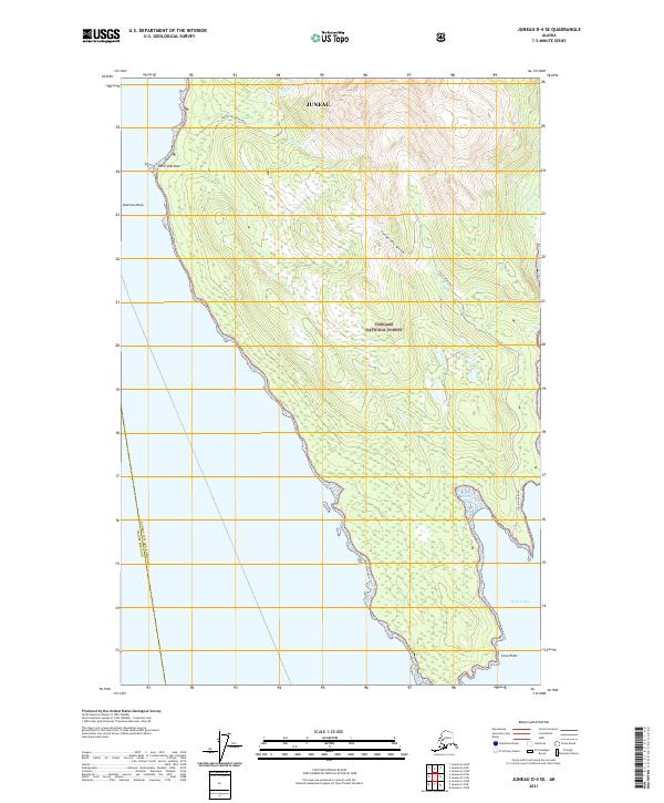
1948 Juneau D-3
Juneau Borough, AK

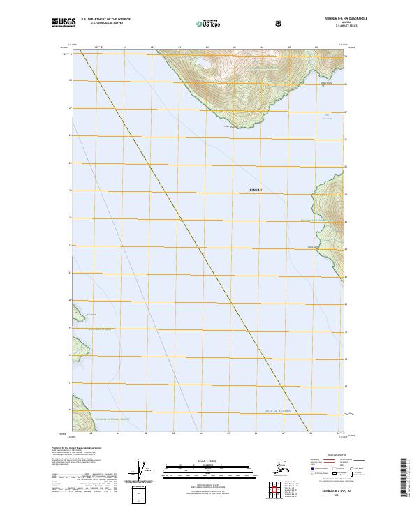
1948 Sumdum D-6
Juneau Borough, AK
1949 Juneau B-2
Juneau Borough, AK

1949 Juneau B-3
Juneau Borough, AK
1949 Juneau D-3
Juneau Borough, AK
1951 Juneau A-1
Juneau Borough, AK
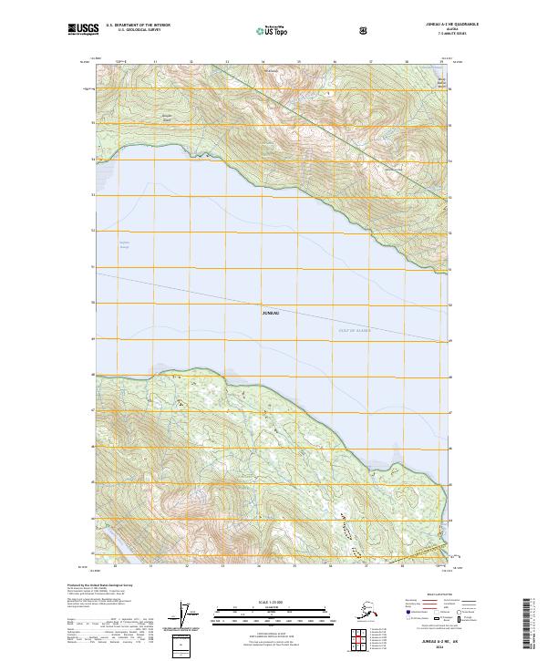
1951 Juneau A-2
Juneau Borough, AK
1951 Juneau C-3
Juneau Borough, AK
1951 Sumdum D-6
Juneau Borough, AK
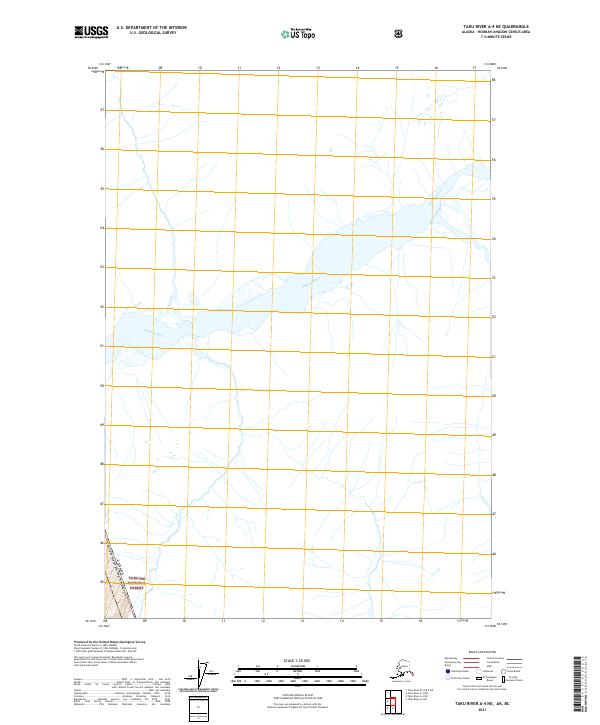
1951 Taku River A-5
Juneau Borough, AK
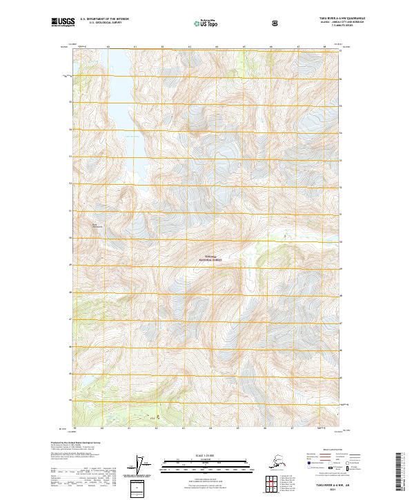
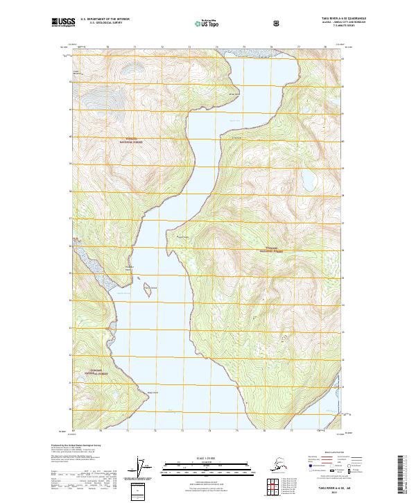
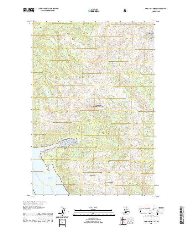
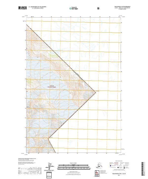
1951 Taku River A-6
Juneau Borough, AK
1951 Taku River B-5
Juneau Borough, AK
1951 Taku River B-6
Juneau Borough, AK
1952 Juneau B-1
Juneau Borough, AK
1952 Juneau C-3
Juneau Borough, AK
1953 Juneau D-3
Juneau Borough, AK
1953 Taku River
Juneau Borough, AK
1954 Juneau A-1
Juneau Borough, AK
1960 Juneau C-1
Juneau Borough, AK
1960 Juneau C-2
Juneau Borough, AK
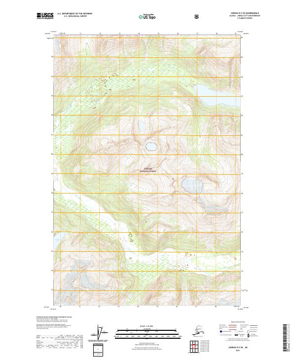
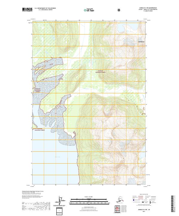
1960 Juneau D-1
Juneau Borough, AK
1960 Juneau D-2
Juneau Borough, AK
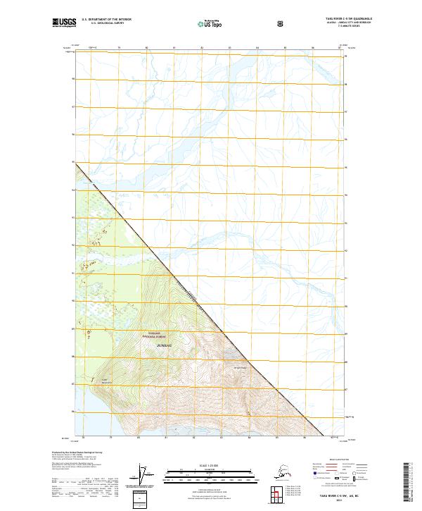
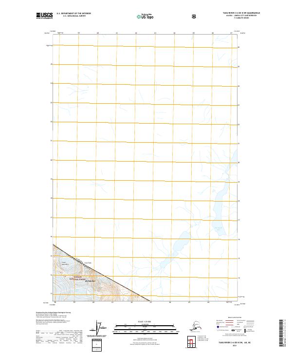
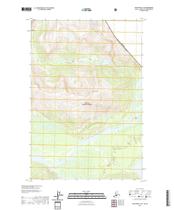
1960 Taku River C-5
Juneau Borough, AK
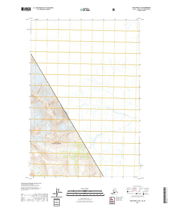
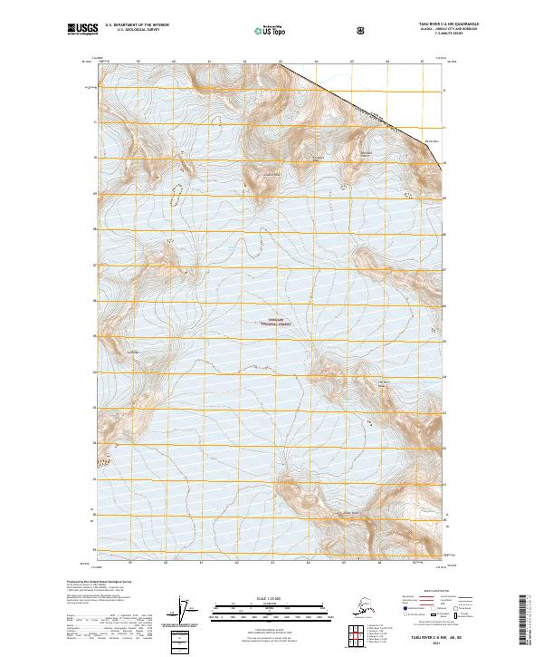
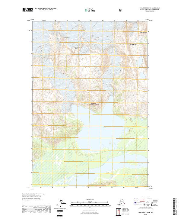
1960 Taku River C-6
Juneau Borough, AK
1960 Taku River
Juneau Borough, AK
1962 Juneau B-2
Juneau Borough, AK
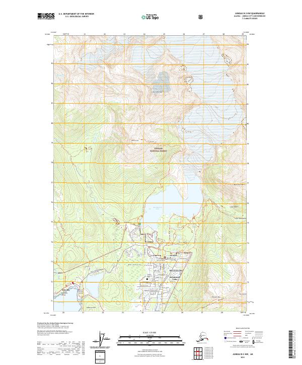
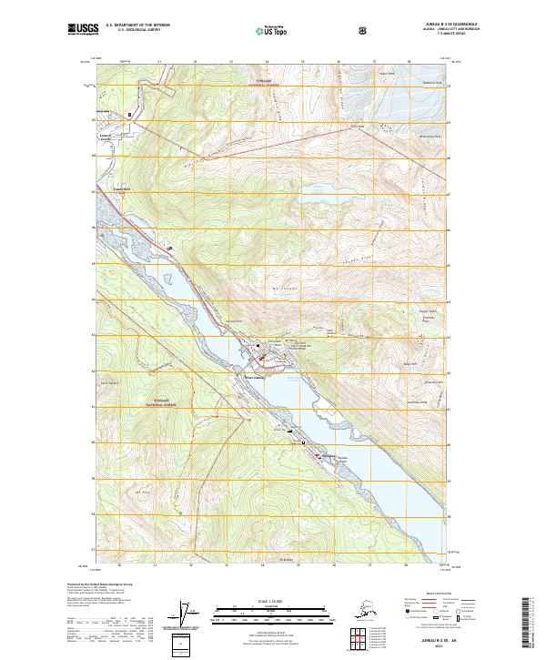
1962 Juneau B-3
Juneau Borough, AK
1986 Juneau A-1 NW
Juneau Borough, AK
1986 Juneau A-2 NE
Juneau Borough, AK
1986 Juneau A-2 NW
Juneau Borough, AK
1986 Juneau B-1 SW
Juneau Borough, AK
1986 Juneau B-2 NW
Juneau Borough, AK
1986 Juneau B-2 SE
Juneau Borough, AK
1986 Juneau B-2 SW
Juneau Borough, AK
1986 Juneau B-3 NE
Juneau Borough, AK
1986 Juneau B-3 NW
Juneau Borough, AK
1986 Juneau B-3 SE
Juneau Borough, AK
1986 Juneau C-3 NW
Juneau Borough, AK
1986 Juneau C-3 SE
Juneau Borough, AK
1986 Juneau C-3 SW
Juneau Borough, AK
1994 Taku River B-6
Juneau Borough, AK
1995 Taku River C-6
Juneau Borough, AK
1996 Juneau A-1
Juneau Borough, AK
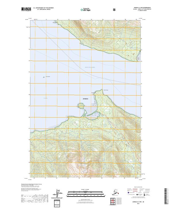
1996 Juneau A-2
Juneau Borough, AK
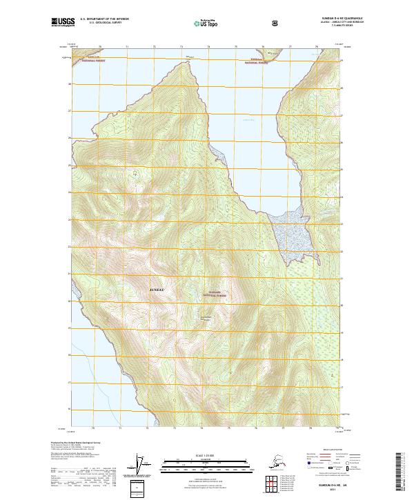
1996 Juneau B-3
Juneau Borough, AK
1996 Juneau C-3
Juneau Borough, AK
1996 Taku River A-5
Juneau Borough, AK
1997 Juneau B-1
Juneau Borough, AK
1997 Juneau D-2
Juneau Borough, AK
2017 Juneau A-1 NE
Juneau Borough, AK
2017 Juneau A-1 NW
Juneau Borough, AK
2017 Juneau A-2 NE
Juneau Borough, AK
2017 Juneau A-2 NW
Juneau Borough, AK
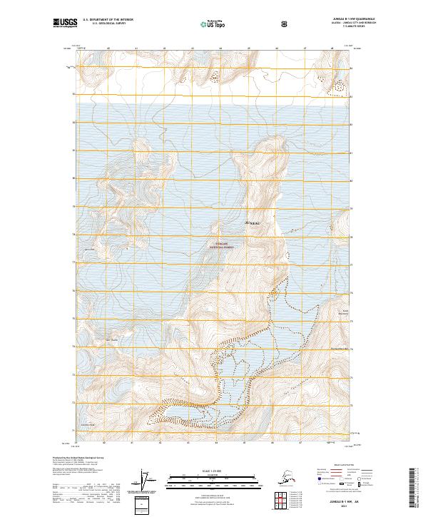
2017 Juneau B-1 NE
Juneau Borough, AK
2017 Juneau B-1 NW
Juneau Borough, AK
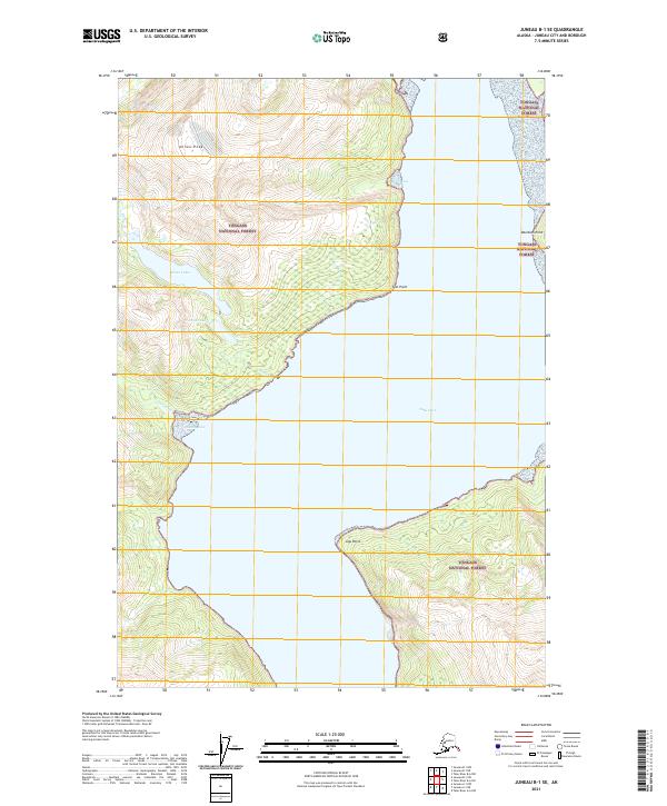
2017 Juneau B-1 SE
Juneau Borough, AK
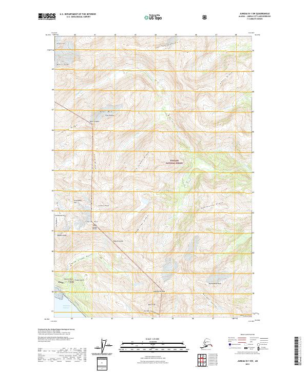
2017 Juneau B-1 SW
Juneau Borough, AK
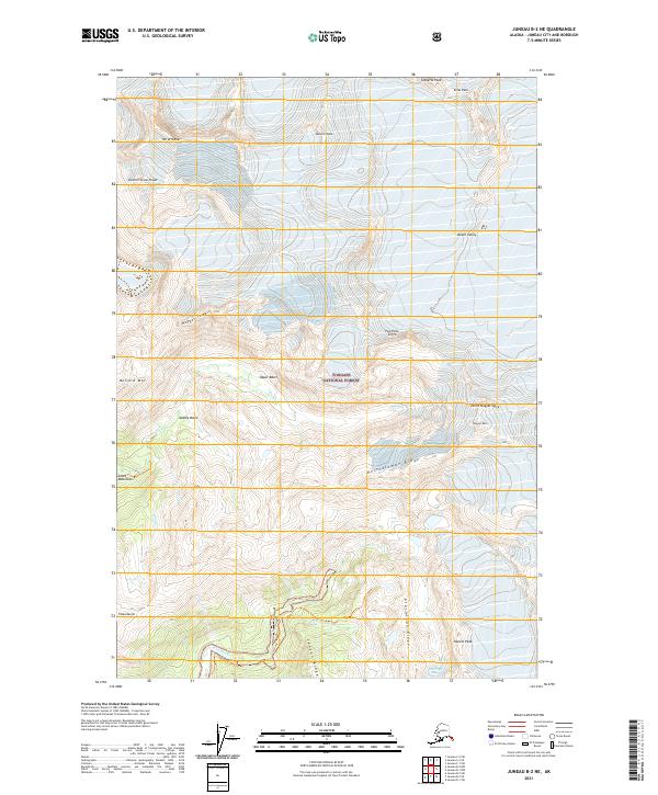
2017 Juneau B-2 NE
Juneau Borough, AK
2017 Juneau B-2 NW
Juneau Borough, AK
2017 Juneau B-2 SE
Juneau Borough, AK
2017 Juneau B-2 SW
Juneau Borough, AK
2017 Juneau B-3 NE
Juneau Borough, AK
2017 Juneau B-3 NW
Juneau Borough, AK
2017 Juneau B-3 SE
Juneau Borough, AK
2017 Juneau C-1 NE
Juneau Borough, AK
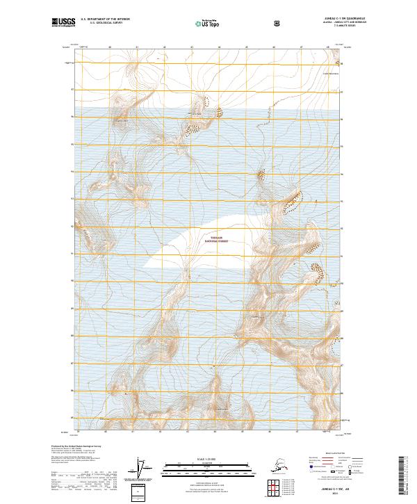
2017 Juneau C-1 NW
Juneau Borough, AK
2017 Juneau C-1 SE
Juneau Borough, AK
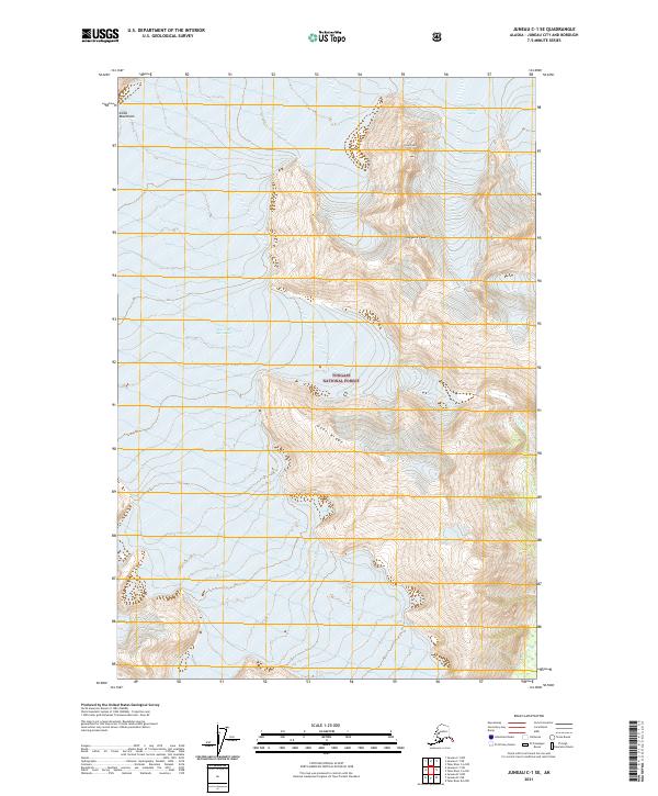
2017 Juneau C-1 SW
Juneau Borough, AK
2017 Juneau C-2 NE
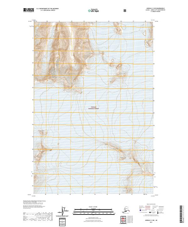
Juneau Borough, AK
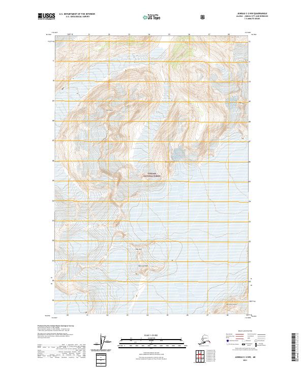
2017 Juneau C-2 NW
Juneau Borough, AK
2017 Juneau C-2 SE
Juneau Borough, AK
2017 Juneau C-2 SW
Juneau Borough, AK
2017 Juneau C-3 NE
Juneau Borough, AK
2017 Juneau C-3 NW
Juneau Borough, AK
2017 Juneau C-3 SE
Juneau Borough, AK
2017 Juneau C-3 SW
Juneau Borough, AK
2017 Juneau C-4 NE
Juneau Borough, AK
2017 Juneau C-4 SE
Juneau Borough, AK
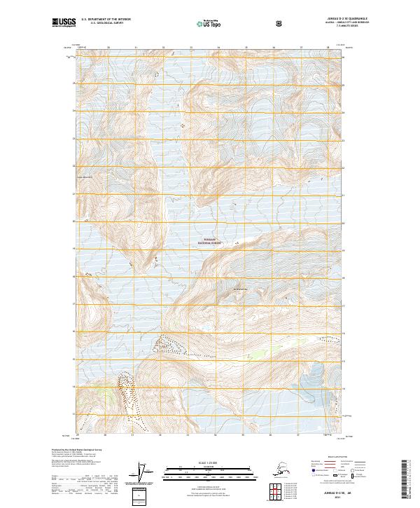
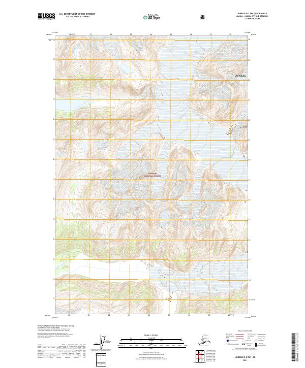
2017 Juneau D-1 NW
Juneau Borough, AK
2017 Juneau D-1 SE
Juneau Borough, AK
2017 Juneau D-1 SW
Juneau Borough, AK
2017 Juneau D-2 NE
Juneau Borough, AK
2017 Juneau D-2 NW
Juneau Borough, AK
2017 Juneau D-2 SE
Juneau Borough, AK
2017 Juneau D-2 SW
Juneau Borough, AK
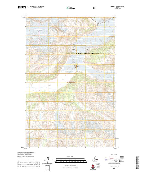
2017 Juneau D-3 NE
Juneau Borough, AK
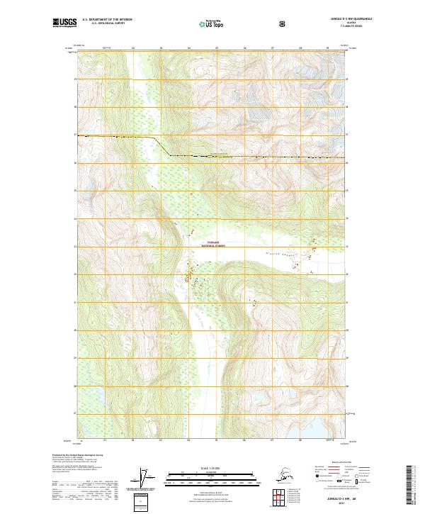
2017 Juneau D-3 NW
Juneau Borough, AK
2017 Juneau D-3 SE
Juneau Borough, AK
2017 Juneau D-3 SW
Juneau Borough, AK
2017 Juneau D-4 NE
Juneau Borough, AK
2017 Juneau D-4 SE
Juneau Borough, AK
2017 Sumdum D-5 NW
Juneau Borough, AK
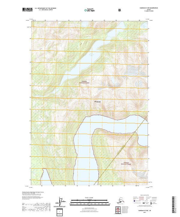
2017 Sumdum D-6 NE
Juneau Borough, AK
2017 Sumdum D-6 NW
Juneau Borough, AK
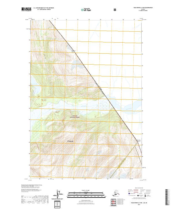
2017 Taku River A-4 NE
Juneau Borough, AK
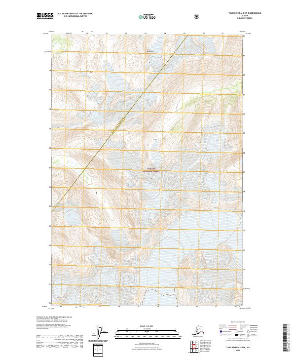
2017 Taku River A-4 NW
Juneau Borough, AK
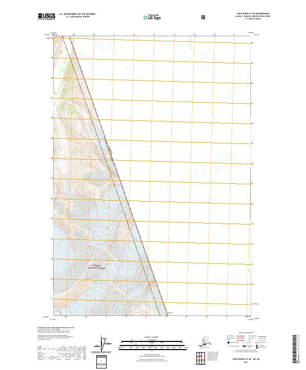
2017 Taku River A-4 SE
Juneau Borough, AK
2017 Taku River A-4 SW
Juneau Borough, AK
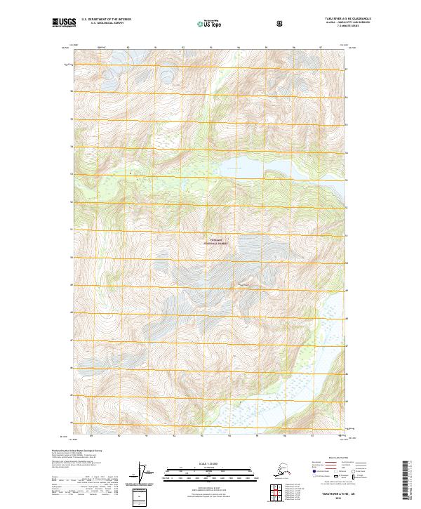
2017 Taku River A-5 NE
Juneau Borough, AK
2017 Taku River A-5 NW
Juneau Borough, AK
2017 Taku River A-5 SE
Juneau Borough, AK
2017 Taku River A-5 SW
Juneau Borough, AK
2017 Taku River A-6 NE
Juneau Borough, AK
2017 Taku River A-6 NW
Juneau Borough, AK
2017 Taku River A-6 SE
Juneau Borough, AK
2017 Taku River A-6 SW
Juneau Borough, AK
2017 Taku River B-5 NE
Juneau Borough, AK
2017 Taku River B-5 NW
Juneau Borough, AK
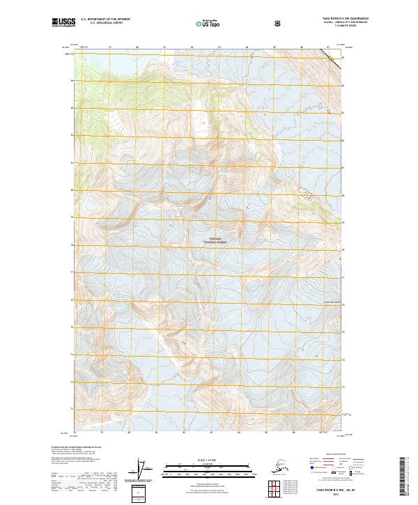
2017 Taku River B-5 OE E SW
Juneau Borough, AK
2017 Taku River B-5 SE
Juneau Borough, AK
2017 Taku River B-5 SW
Juneau Borough, AK
2017 Taku River B-6 NE
Juneau Borough, AK
2017 Taku River B-6 NW
Juneau Borough, AK
2017 Taku River B-6 SE
Juneau Borough, AK
2017 Taku River B-6 SW
Juneau Borough, AK
2017 Taku River C-5 SW
Juneau Borough, AK
2017 Taku River C-6 NE
Juneau Borough, AK
2017 Taku River C-6 NW
Juneau Borough, AK
2017 Taku River C-6 OE N SW
Juneau Borough, AK
2017 Taku River C-6 SE
Juneau Borough, AK
2017 Taku River C-6 SW
Juneau Borough, AK
2021 Juneau A-1 NE
Juneau Borough, AK
2021 Juneau A-1 NW
Juneau Borough, AK
2021 Juneau A-2 NE
Juneau Borough, AK
2021 Juneau A-2 NW
Juneau Borough, AK
2021 Juneau B-1 NE
Juneau Borough, AK
2021 Juneau B-1 NW
Juneau Borough, AK
2021 Juneau B-1 SE
Juneau Borough, AK
2021 Juneau B-1 SW
Juneau Borough, AK
2021 Juneau B-2 NE
Juneau Borough, AK
2021 Juneau B-2 NW
Juneau Borough, AK
2021 Juneau B-2 SE
Juneau Borough, AK
2021 Juneau B-2 SW
Juneau Borough, AK
2021 Juneau B-3 NE
Juneau Borough, AK
2021 Juneau B-3 NW
Juneau Borough, AK
2021 Juneau B-3 SE
Juneau Borough, AK
2021 Juneau C-1 NE
Juneau Borough, AK
2021 Juneau C-1 NW
Juneau Borough, AK
2021 Juneau C-1 SE
Juneau Borough, AK
2021 Juneau C-1 SW
Juneau Borough, AK
2021 Juneau C-2 NE
Juneau Borough, AK
2021 Juneau C-2 NW
Juneau Borough, AK
2021 Juneau C-2 SE
Juneau Borough, AK
2021 Juneau C-2 SW
Juneau Borough, AK
2021 Juneau C-3 NE
Juneau Borough, AK
2021 Juneau C-3 NW
Juneau Borough, AK
2021 Juneau C-3 SE
Juneau Borough, AK
2021 Juneau C-3 SW
Juneau Borough, AK
2021 Juneau C-4 NE
Juneau Borough, AK
2021 Juneau C-4 SE
Juneau Borough, AK

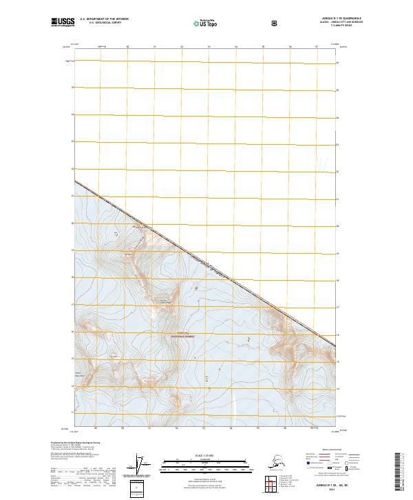
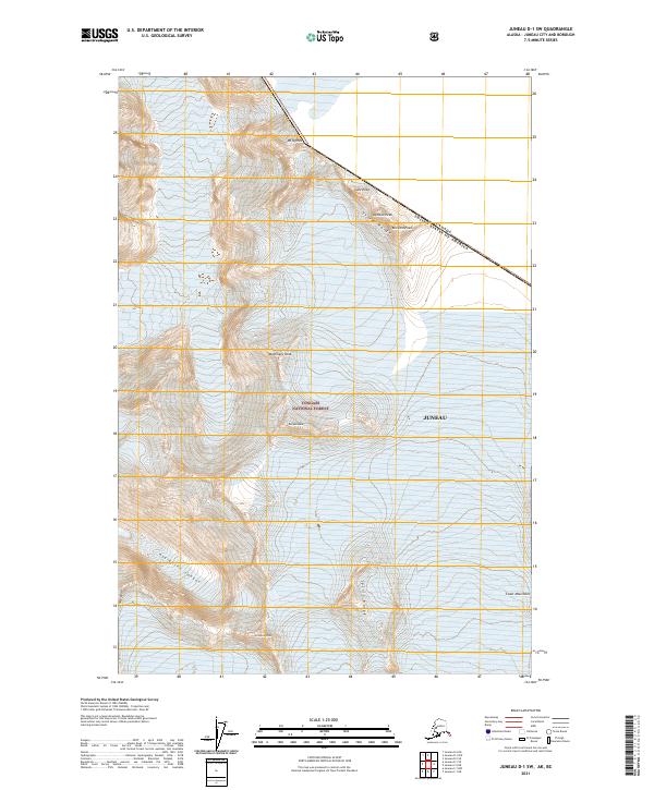
2021 Juneau D-1 NW
Juneau Borough, AK
2021 Juneau D-1 SE
Juneau Borough, AK
2021 Juneau D-1 SW
Juneau Borough, AK
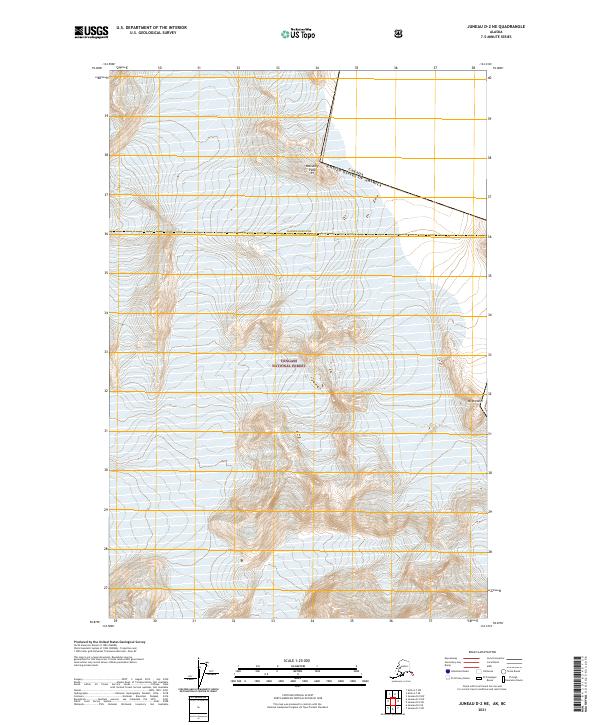
2021 Juneau D-2 NE
Juneau Borough, AK
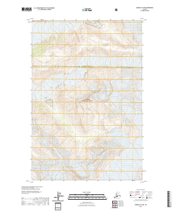
2021 Juneau D-2 NW
Juneau Borough, AK
2021 Juneau D-2 SE
Juneau Borough, AK
2021 Juneau D-2 SW
Juneau Borough, AK
2021 Juneau D-3 NE
Juneau Borough, AK
2021 Juneau D-3 NW
Juneau Borough, AK
2021 Juneau D-3 SE
Juneau Borough, AK
2021 Juneau D-3 SW
Juneau Borough, AK
2021 Juneau D-4 NE
Juneau Borough, AK
2021 Juneau D-4 SE
Juneau Borough, AK
2021 Sumdum D-5 NW
Juneau Borough, AK
2021 Sumdum D-6 NE
Juneau Borough, AK
2021 Sumdum D-6 NW
Juneau Borough, AK
2021 Taku River A-4 NE
Juneau Borough, AK
2021 Taku River A-4 NW
Juneau Borough, AK
2021 Taku River A-4 SE
Juneau Borough, AK
2021 Taku River A-4 SW
Juneau Borough, AK
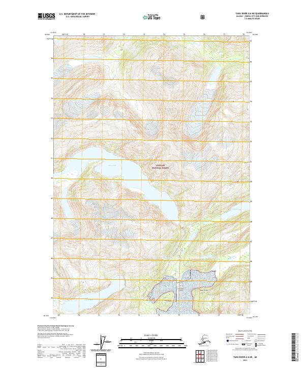
2021 Taku River A-5 NE
Juneau Borough, AK
2021 Taku River A-5 NW
Juneau Borough, AK
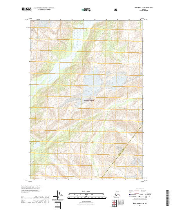
2021 Taku River A-5 SE
Juneau Borough, AK
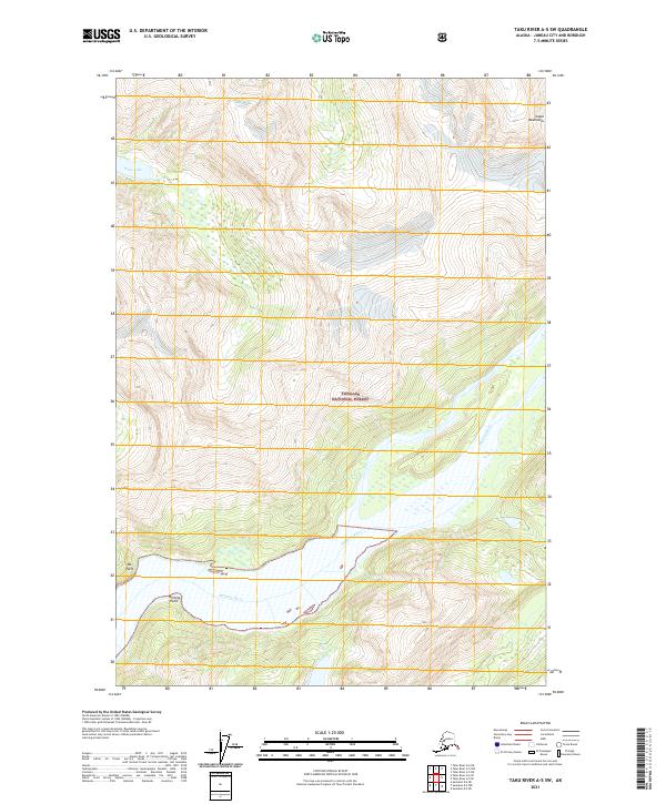
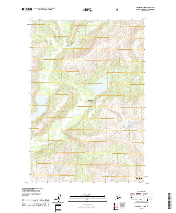
2021 Taku River A-5 SW
Juneau Borough, AK
2021 Taku River A-6 NE
Juneau Borough, AK
2021 Taku River A-6 NW
Juneau Borough, AK
2021 Taku River A-6 SE
Juneau Borough, AK
2021 Taku River A-6 SW
Juneau Borough, AK
2021 Taku River B-5 NE
Juneau Borough, AK
2021 Taku River B-5 NW
Juneau Borough, AK
2021 Taku River B-5 OE E SW
Juneau Borough, AK
2021 Taku River B-5 SE
Juneau Borough, AK
2021 Taku River B-5 SW
Juneau Borough, AK
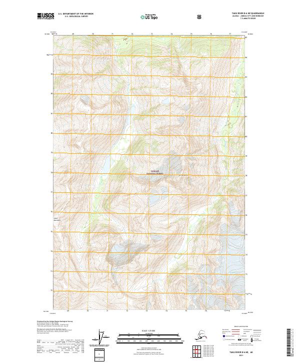
2021 Taku River B-6 NE
Juneau Borough, AK
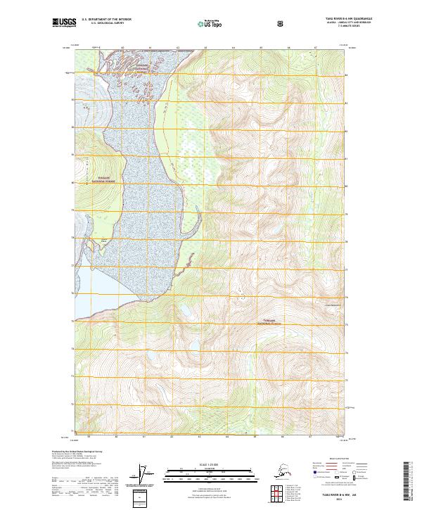
2021 Taku River B-6 NW
Juneau Borough, AK
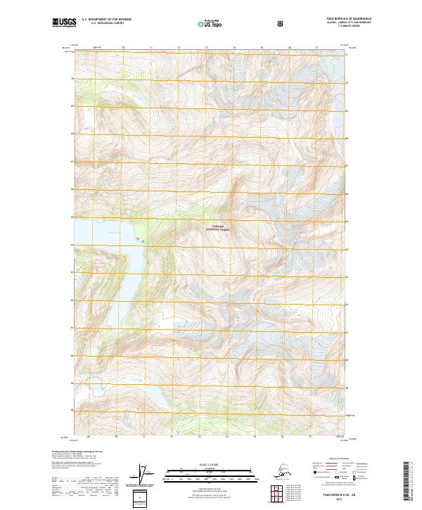
2021 Taku River B-6 SE
Juneau Borough, AK
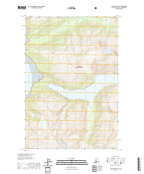
2021 Taku River B-6 SW
Juneau Borough, AK
2021 Taku River C-5 SW
Juneau Borough, AK
2021 Taku River C-6 NE
Juneau Borough, AK
2021 Taku River C-6 NW
Juneau Borough, AK
2021 Taku River C-6 OE N SW
Juneau Borough, AK
2021 Taku River C-6 SE
Juneau Borough, AK
2021 Taku River C-6 SW
Juneau Borough, AK
2024 Juneau A-1 NE
Juneau Borough, AK
2024 Juneau A-1 NW
Juneau Borough, AK
2024 Juneau A-2 NE
Juneau Borough, AK
2024 Juneau A-2 NW
Juneau Borough, AK
2024 Sumdum D-6 NW
Juneau Borough, AK