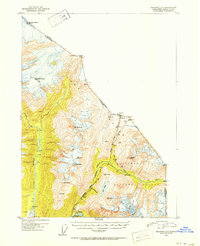
1949 Map of Skagway D-2
USGS Topo · Published 1965About this map
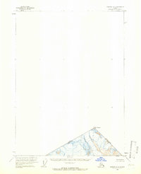
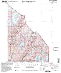
Mt Foster rises as the primary landmark in this late 1940s topographical study of the high-latitude interior. The map focuses on a sharp triangular fragment of territory where the Canada-United States international boundary converges with the provincial line of British Columbia and Alaska. Derived from aerial photographs taken in 1948, the cartography highlights the steep glacial contours and high elevations of the Boundary Ranges. The lack of named roads or human settlements in this sector emphasizes the topographical isolation of the region at the time of the survey, serving as a specialized record of the border's physical path through the ice and rock of the north.
Find a feature on this map
3 named features on this map. Tap any name to fly to it.
Don’t see what you’re looking for? This feature index may not catch every label — zoom into the map to look around manually.
Map Details
Editions of this 1949 Skagway D-2 Map
This is the sole edition of this map. No revisions or reprints were ever made.
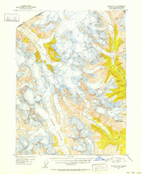
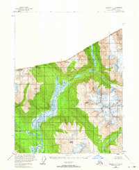
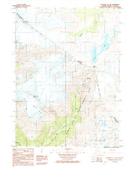
Other maps of this area
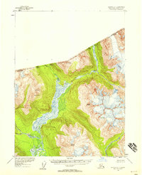
1948 · Skagway C-3
USGS Topo · 1:63,360
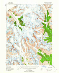
1948 · Skagway C-2
USGS Topo · 1:63,360
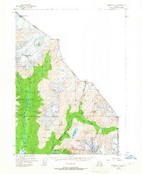
1948 · Skagway C-1
USGS Topo · 1:63,360
1951 · Skagway C-1
USGS Topo · 1:63,360
1951 · Skagway C-2
USGS Topo · 1:63,360

1952 · Skagway
USGS Topo · 1:250,000
1954 · Skagway C-3
USGS Topo · 1:63,360

1961 · Skagway
USGS Topo · 1:250,000
1992 · Skagway C-1 NW
USGS Topo · 1:25,000
2004 · Skagway C-1
USGS Topo · 1:63,360