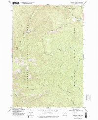
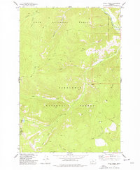
1974 Map of Skalkaho Pass
USGS Topo · Published 1977About this map
The Skalkaho Pass serves as the topographic and administrative divide on this 1974 survey, marking the boundary where the Bitterroot National Forest meets the Deerlodge National Forest. This high-elevation terrain is defined by a dense network of seasonal and perennial waters, including Hog Trough Creek and Railroad Creek to the west, and the North Fork Rock Cr draining toward Mud Lake in the northeast. The presence of Prospects near Daly Creek hints at the mineral exploration common to this portion of the Ravalli and Granite County line. Traversing this landscape required a reliance on established infrastructure like the Pack Trail, which connects remote landmarks such as Signal Rock and Camp Spring. The map captures a moment of mid-century forest management before modern developments further altered the drainage basins of the Sapphire Mountains.
Find a feature on this map
22 named features on this map. Tap any name to fly to it.
Don’t see what you’re looking for? This feature index may not catch every label — zoom into the map to look around manually.
Map Details
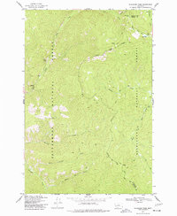
Editions of this 1974 Skalkaho Pass Map
2 editions found
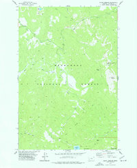
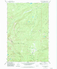
Other maps of this area
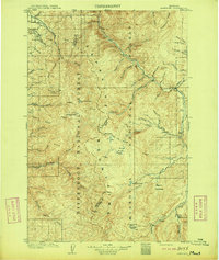
1909 · Sapphire
USGS Topo · 1:125,000

1947 · Butte
USGS Topo · 1:250,000

1958 · Butte
USGS Topo · 1:250,000

1960 · Butte
USGS Topo · 1:250,000

1962 · Butte
USGS Topo · 1:250,000
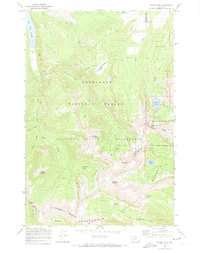
1971 · Stony Creek
USGS Topo · 1:24,000
1974 · Stony Creek
USGS Topo · 1:24,000

1974 · Burnt Fork Lake
USGS Topo · 1:24,000
1974 · Mount Emerine
USGS Topo · 1:24,000
1974 · Whetstone Ridge
USGS Topo · 1:24,000