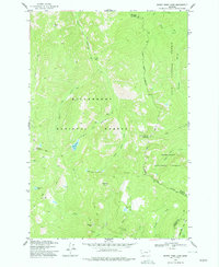
1974 Map of Burnt Fork Lake
USGS Topo · Published 1977About this map
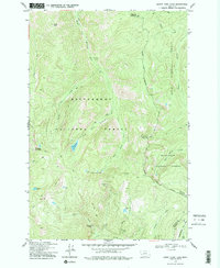
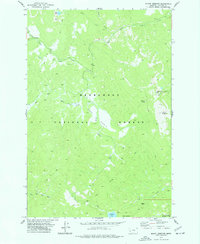
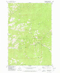
The Bitterroot National Forest dominates this mid-1970s landscape, where the convergence of three national forests highlights the complexity of early federal land management in Montana. The high-altitude terrain is defined by the headwaters of the Bitterroot River and Burnt Fork, providing a detailed view of the drainage patterns before modern development altered these backcountry corridors. Remote water bodies like Burnt Lake, Kneaves Lake, and the Little Burnt Fork Lakes are reached by an extensive network of Pack Trails, emphasizing the area's history as a roadless wilderness. Notable landmarks such as Skalkaho Falls and Dome Shaped Mountain serve as essential navigational points for those tracing the historic boundaries between Granite and Ravalli counties. This topographic study captures a moment when the rugged interior was primarily used for conservation and primitive recreation, preserving the natural state of the Skalkaho Basin.
Find a feature on this map
26 named features on this map. Tap any name to fly to it.
Don’t see what you’re looking for? This feature index may not catch every label — zoom into the map to look around manually.
Map Details
Editions of this 1974 Burnt Fork Lake Map
2 editions found
Other maps of this area

1909 · Sapphire
USGS Topo · 1:125,000

1947 · Butte
USGS Topo · 1:250,000

1958 · Butte
USGS Topo · 1:250,000

1960 · Butte
USGS Topo · 1:250,000

1962 · Butte
USGS Topo · 1:250,000

1971 · Stony Creek
USGS Topo · 1:24,000
1974 · Stony Creek
USGS Topo · 1:24,000
1974 · Skalkaho Pass
USGS Topo · 1:24,000
1974 · Mount Emerine
USGS Topo · 1:24,000
1974 · Gird Point
USGS Topo · 1:24,000