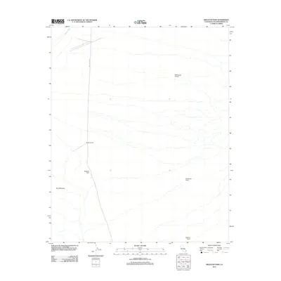
2012 Map of Skeleton Pass
USGS Topo · Published 2012About this map
Skeleton Pass serves as a critical geographic marker in this arid portion of San Bernardino County, defined by a sparse but significant network of desert infrastructure and natural drainage. The northern reaches are characterized by the ephemeral drainage of Watson Wash, while the central terrain is anchored by the Danby Airstrip, a remote landing site situated west of the primary north-south transit corridor, Skeleton Pass Rd. The landscape is framed by several deep incisions into the desert floor, notably Rattlesnake Canyon to the northeast and Scanlon Gulch to the southeast. To the southwest, the rising slopes of the Ship Mountains and the seasonal runoff path of Carbonate Gulch illustrate the complex topography that historically challenged travelers and miners moving through this high desert region.
Find a feature on this map
8 named features on this map. Tap any name to fly to it.
Don’t see what you’re looking for? This feature index may not catch every label — zoom into the map to look around manually.
Map Details
Editions of this 2012 Skeleton Pass Map
This is the sole edition of this map. No revisions or reprints were ever made.
Other maps of this area

1942 · Amboy
USGS Topo · 1:250,000

1943 · Amboy
USGS Topo · 1:250,000

1943 · Essex
USGS Topo · 1:62,500

1943 · Danby
USGS Topo · 1:62,500

1943 · Cadiz Lake
USGS Topo · 1:62,500

1954 · Needles
USGS Topo · 1:250,000

1956 · Needles
USGS Topo · 1:250,000

1956 · Milligan
USGS Topo · 1:62,500

1956 · Essex
USGS Topo · 1:62,500

1956 · Cadiz Lake
USGS Topo · 1:62,500