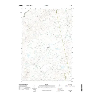
2018 Map of Skinner
USGS Topo · Published 2018About this map
The Moose River and its South Branch Moose River converge in this remote Maine township, defining a landscape dominated by complex waterways and timber-access roads. The international boundary between the United States and Canada runs along the northwestern edge, where the highlands of Clear Pond Mtn rise above the drainage of Smith Brook. Settlement is focused on the remote outposts of Skinner and Keough, which sit along the river corridor.
Find a feature on this map
32 named features on this map. Tap any name to fly to it.
Don’t see what you’re looking for? This feature index may not catch every label — zoom into the map to look around manually.
Map Details
Editions of this 2018 Skinner Map
This is the sole edition of this map. No revisions or reprints were ever made.
Other maps of this area

1923 · Attean
USGS Topo · 1:62,500

1925 · Attean
USGS Topo · 1:62,500

1928 · Chain Lakes
USGS Topo · 1:48,000

1928 · Skinner
USGS Topo · 1:48,000

1928 · Spencer
USGS Topo · 1:48,000

1931 · Skinner
USGS Topo · 1:62,500

1932 · Spencer
USGS Topo · 1:62,500

1932 · Chain Lakes
USGS Topo · 1:62,500

1935 · Chain Lakes
USGS Topo · 1:62,500

1949 · Jackman
USGS Topo · 1:250,000
Featured Places
- Holeb Township, ME
- Gorham Gore, ME
- Lowelltown Township, ME
- Skinner, Lowelltown Township
- Skinner Township, ME