
1928 Map of Skinner
USGS Topo · Published 1928About this map
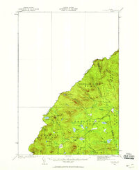
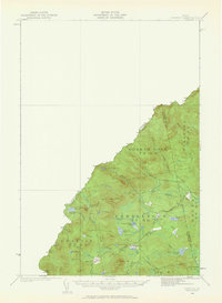
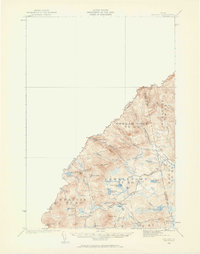
The Canadian Pacific Railway cuts through the high timberlands of Franklin County, following the drainage of the Moose River as it crosses the international boundary between the Quebec Maine border. This 1928 survey captures a remote industrial and recreational landscape defined by the townships of Lowelltown, Beattie, and Gorham Gore. Small settlements and seasonal outposts like Skinner and Summit Camps are positioned along the rail line, serving as vital links in this mountainous region. The terrain is a dense network of water bodies, from the secluded Unknown Pond and Clear Pond to the marshes surrounding Mud Pond. Steep elevations at Pond Mtn and Caswell Mtn overlook the winding South Fork Moose River, illustrating the topographical challenges faced by surveyors and rail engineers in the early twentieth-century North Woods.
Find a feature on this map
31 named features on this map. Tap any name to fly to it.
Don’t see what you’re looking for? This feature index may not catch every label — zoom into the map to look around manually.
Map Details
Editions of this 1928 Skinner Map
4 editions found
Other maps of this area

1923 · Attean
USGS Topo · 1:62,500

1925 · Attean
USGS Topo · 1:62,500

1927 · Sandy Bay
USGS Topo · 1:48,000

1928 · Chain Lakes
USGS Topo · 1:48,000

1928 · Spencer
USGS Topo · 1:48,000

1930 · Sandy Bay
USGS Topo · 1:62,500

1931 · Skinner
USGS Topo · 1:62,500

1932 · Spencer
USGS Topo · 1:62,500

1932 · Arnold Pond
USGS Topo · 1:48,000

1932 · Chain Lakes
USGS Topo · 1:62,500