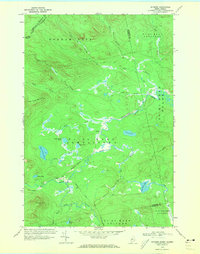
1970 Map of Skinner
USGS Topo · Published 1973About this map
The Canada United States international boundary defines the northwestern edge of this wilderness region, where the Canadian Pacific railway cuts through the high timberlands of Franklin County. The small settlements of Skinner and Keough serve as isolated outposts along the rail line and the winding Moose River. The landscape is dominated by a complex network of water bodies, including Twin Island Pond, Big Indian Pond, and Trout Pond, interconnected by numerous brooks and the Gulf Stream.
Find a feature on this map
36 named features on this map. Tap any name to fly to it.
Don’t see what you’re looking for? This feature index may not catch every label — zoom into the map to look around manually.
Map Details
Editions of this 1970 Skinner Map
2 editions found
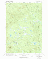
Other maps of this area

1923 · Attean
USGS Topo · 1:62,500

1925 · Attean
USGS Topo · 1:62,500

1928 · Chain Lakes
USGS Topo · 1:48,000

1928 · Skinner
USGS Topo · 1:48,000

1928 · Spencer
USGS Topo · 1:48,000

1931 · Skinner
USGS Topo · 1:62,500

1932 · Spencer
USGS Topo · 1:62,500

1932 · Chain Lakes
USGS Topo · 1:62,500

1935 · Chain Lakes
USGS Topo · 1:62,500

1949 · Jackman
USGS Topo · 1:250,000