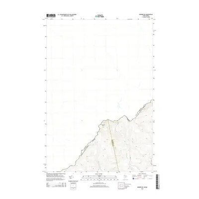
2014 Map of Skinner NE
USGS Topo · Published 2014About this map
Sixtynine Mtn stands as a prominent topographical feature along the international boundary between the United States and Canada. This 2014 survey documents a remote section of the borderlands where the headwaters of the Br Gulf Stream, along with the W Br Gulf Stream and E Br Gulf Stream, drain the high country. The landscape is defined by its administrative boundaries, specifically the meeting point of Somerset and Franklin Counties in Maine. Human infrastructure is sparse, limited primarily to logging and access routes such as Big Turner Pond Rd and 200 Rd, reflecting the managed forest character of this northern border region.
Find a feature on this map
9 named features on this map. Tap any name to fly to it.
Don’t see what you’re looking for? This feature index may not catch every label — zoom into the map to look around manually.
Map Details
Editions of this 2014 Skinner NE Map
This is the sole edition of this map. No revisions or reprints were ever made.
Other maps of this area

1923 · Attean
USGS Topo · 1:62,500

1925 · Attean
USGS Topo · 1:62,500

1927 · Sandy Bay
USGS Topo · 1:48,000

1928 · Skinner
USGS Topo · 1:48,000

1930 · Sandy Bay
USGS Topo · 1:62,500

1931 · Skinner
USGS Topo · 1:62,500

1944 · Sandy Bay
USGS Topo · 1:62,500

1949 · Jackman
USGS Topo · 1:250,000

1950 · Attean
USGS Topo · 1:50,000

1963 · Jackman
USGS Topo · 1:250,000