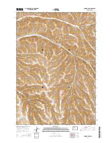
2014 Map of Skinners Fork
USGS Topo · Published 2014About this map
Skinners Fork and the surrounding canyonlands of Morrow County define this high-desert landscape in the early 21st century. The map reveals a complex network of drainage systems, including Stingel Canyon, Thompson Canyon, and Stalter Canyon, which carve through the plateau towards Willow Cr and Hinton Cr. The topography is shaped by these deep incisions, creating a terrain that dictates the winding paths of rural thoroughfares such as Willow Creek Rd and Balm Fork Rd.
Find a feature on this map
27 named features on this map. Tap any name to fly to it.
Don’t see what you’re looking for? This feature index may not catch every label — zoom into the map to look around manually.
Map Details
Editions of this 2014 Skinners Fork Map
This is the sole edition of this map. No revisions or reprints were ever made.
Other maps of this area

1953 · Pendleton
USGS Topo · 1:250,000

1956 · Pendleton
USGS Topo · 1:250,000

1967 · Freezeout Ridge
USGS Topo · 1:24,000

1968 · Swaggart Buttes
USGS Topo · 1:24,000

1968 · Lena
USGS Topo · 1:24,000

1968 · Gleason Butte
USGS Topo · 1:24,000

1968 · Heppner
USGS Topo · 1:24,000

1968 · Skinners Fork
USGS Topo · 1:24,000

1969 · Summerfield Ridge
USGS Topo · 1:24,000

1969 · Arbuckle Mtn
USGS Topo · 1:24,000