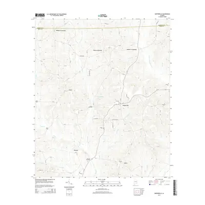
2014 Map of Skipperville
USGS Topo · Published 2014About this map
Skipperville and the surrounding rural communities of Dale and Barbour counties are centered in this 2014 survey. The landscape is defined by the headwaters of the W Fork Choctawhatchee River and its numerous tributaries, including Little Judy Cr and Cotton Cr. These watercourses dictated the placement of important transit points such as Metcalf Mill Bridge and Bottoms Mill Bridge, which connected the various crossroads and agricultural settlements.
Find a feature on this map
79 named features on this map. Tap any name to fly to it.
Don’t see what you’re looking for? This feature index may not catch every label — zoom into the map to look around manually.
Map Details
Editions of this 2014 Skipperville Map
This is the sole edition of this map. No revisions or reprints were ever made.
Other maps of this area

1942 · Enterprise
USGS Topo · 1:125,000
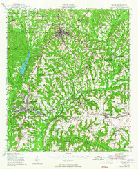
1948 · Ozark
USGS Topo · 1:62,500
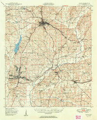
1950 · Ozark
USGS Topo · 1:62,500

1953 · Dothan
USGS Topo · 1:250,000

1954 · Dothan
USGS Topo · 1:250,000

1955 · Dothan
USGS Topo · 1:250,000
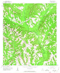
1960 · Ewell
USGS Topo · 1:24,000
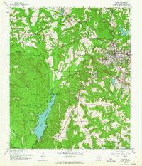
1960 · Ozark
USGS Topo · 1:24,000
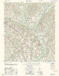
1962 · Ewell
USGS Topo · 1:25,000
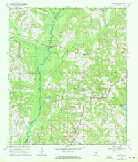
1969 · Elamville
USGS Topo · 1:24,000