Loading...
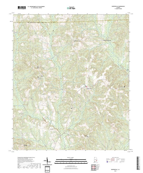
Loading map...2024 Map of Skipperville
USGS Topo · Published 2024About this map
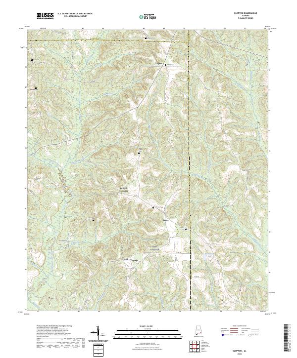
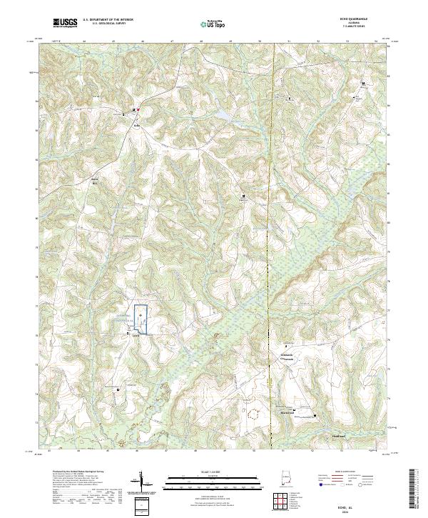
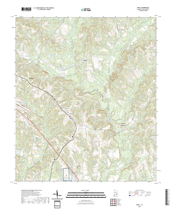
The rolling landscape of Dale County south of the Barbour County line is defined by a network of rural crossroads and historic congregations. Skipperville serves as a primary local node, surrounded by small settlements like Arguta and Beamon. The area is notably dense with community burial grounds that provide deep roots for genealogical research, including the Union Presbyterian Church Cem, Pleasant Ridge Cem, and Antioch Cem.
Find a feature on this map
43 named features on this map. Tap any name to fly to it.
Don’t see what you’re looking for? This feature index may not catch every label — zoom into the map to look around manually.
Map Details
Date Portrayed2024
Date Published2024
PublisherU.S. Geological Survey
Map TypeTopographic
Scale1:24000
Physical Dimensions24 x 29 inches
Editions of this 2024 Skipperville Map
This is the sole edition of this map. No revisions or reprints were ever made.
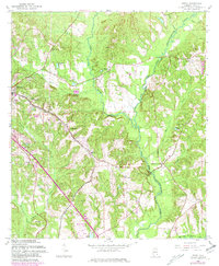
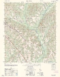
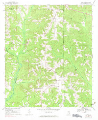
Historical Maps of Dykes Crossroad Through Time
9 maps found
Featured Locations
Source Details
SourceU.S. Geological Survey
CopyrightPublic Domain