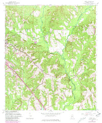
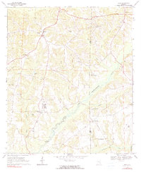
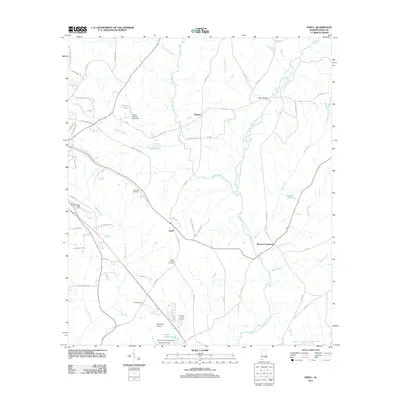
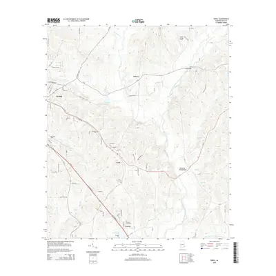
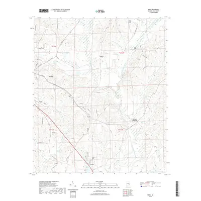
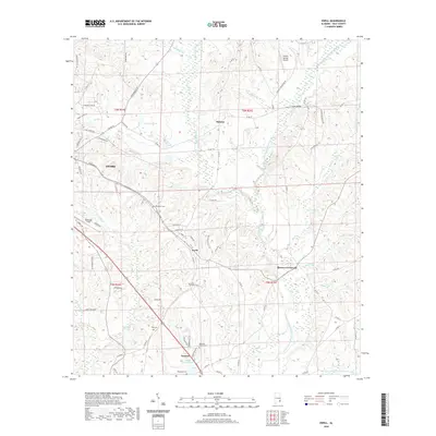
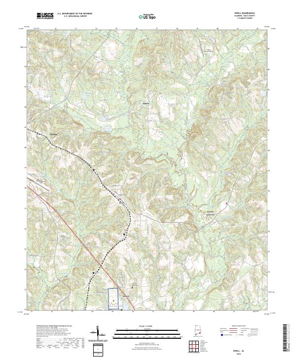
1960 Map of Ewell
USGS Topo · Published 1981About this map
The confluence of the East Fork and the West Fork Choctawhatchee River anchors this landscape, where the agricultural uplands of Dale County transition into the northern reaches of Fort Rucker. Small rural settlements like Ewell and Mabson are connected by a network of local roads and the Seaboard Coast Line railroad, reflecting a mid-century economy built on transit and land cultivation.
Find a feature on this map
36 named features on this map. Tap any name to fly to it.
Don’t see what you’re looking for? This feature index may not catch every label — zoom into the map to look around manually.
Map Details
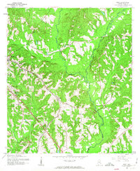
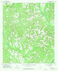
Editions of this 1960 Ewell Map
2 editions found
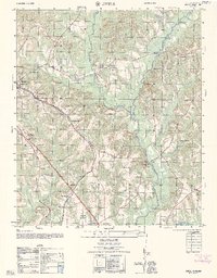
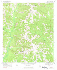
Historical Maps of Ozark Through Time
25 maps found
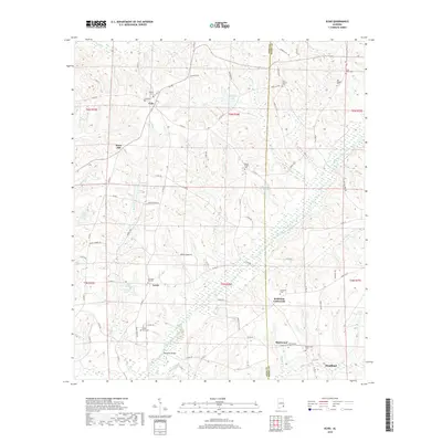
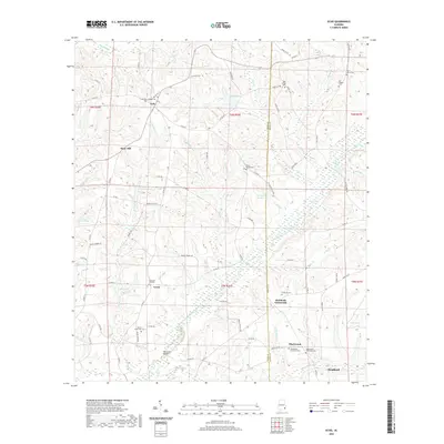
1960 Ewell
Dale County, AL
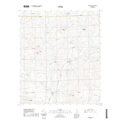
1962 Ewell
Dale County, AL
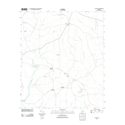
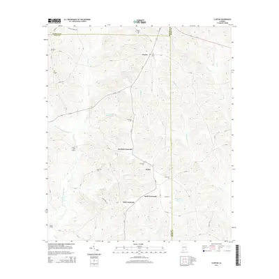
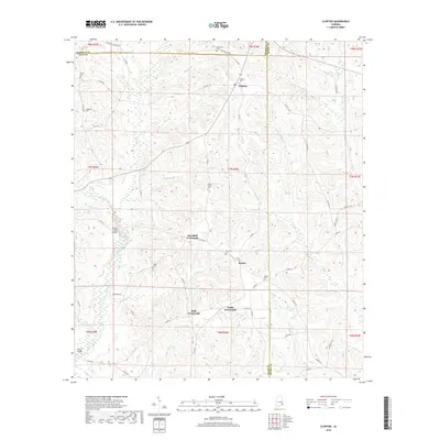
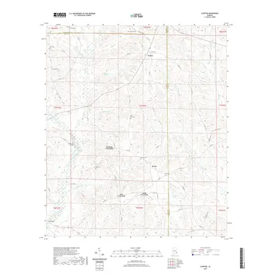
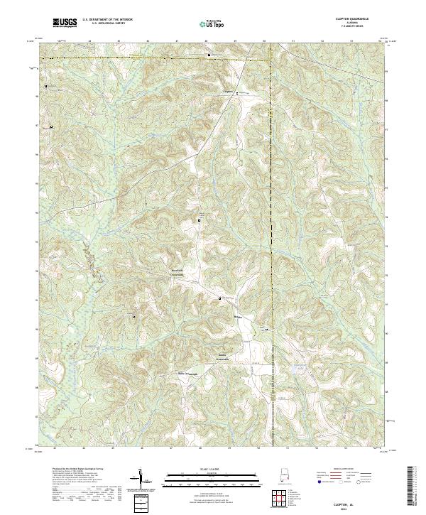
1969 Clopton
Dale County, AL
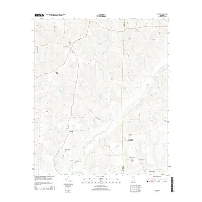
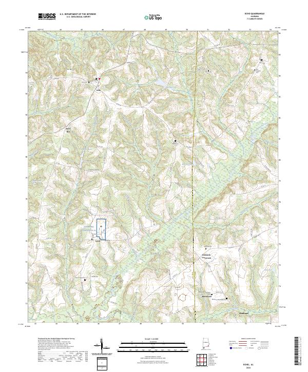
1969 Echo
Dale County, AL
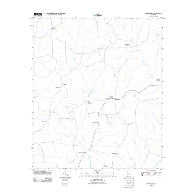
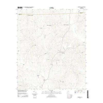
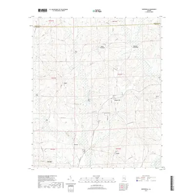
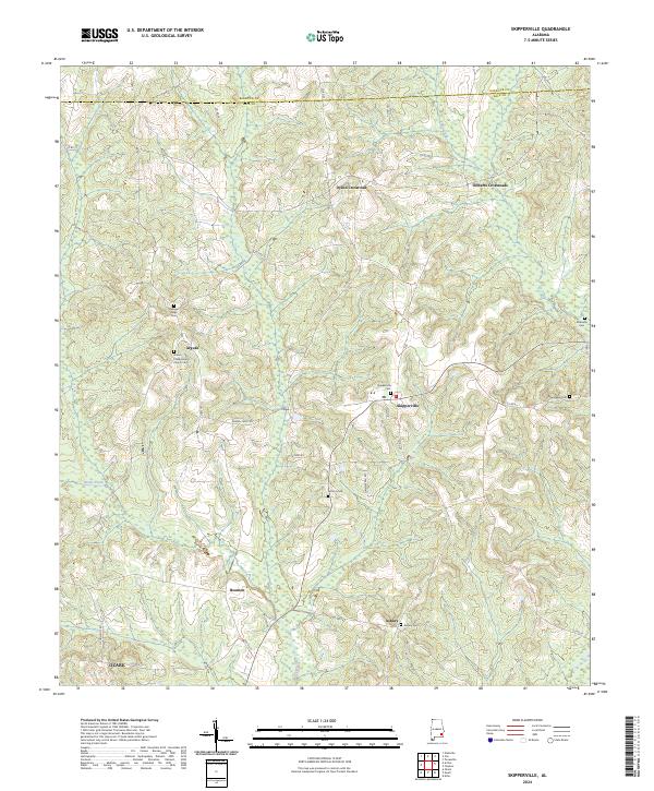
1969 Skipperville
Dale County, AL
2011 Clopton
Dale County, AL
2011 Echo
Dale County, AL
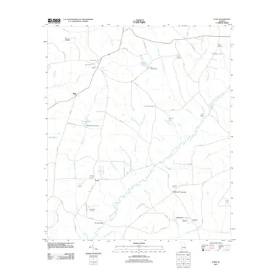
2011 Ewell
Dale County, AL
2011 Skipperville
Dale County, AL
2014 Clopton
Dale County, AL
2014 Echo
Dale County, AL
2014 Ewell
Dale County, AL
2014 Skipperville
Dale County, AL
2018 Clopton
Dale County, AL
2018 Echo
Dale County, AL
2018 Ewell
Dale County, AL
2018 Skipperville
Dale County, AL
2020 Clopton
Dale County, AL
2020 Echo
Dale County, AL
2020 Ewell
Dale County, AL
2020 Skipperville
Dale County, AL
2024 Clopton
Dale County, AL
2024 Echo
Dale County, AL
2024 Ewell
Dale County, AL
2024 Skipperville
Dale County, AL