
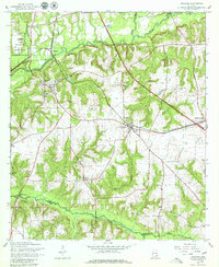
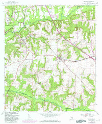
1960 Map of Pinckard
USGS Topo · Published 1963About this map
The Choctawhatchee River defines the landscape of southeastern Alabama in this detailed study, where the West Fork and East Fork converge north of Newton. The era's transportation network is centered on the Atlantic Coast Line railroad, which links the established rail towns of Pinckard and Midland City. Significant land use is marked by the eastern edge of the Fort Rucker Military Reservation and scattered rural infrastructure, including a Radio Tower and various sandpits. Local genealogy is anchored by several country congregations and burial sites, such as Union Ch, Mt Hebron Ch, and the Woodham Cem. The map also captures infrastructure in transition, noting a section of highway under construction near the confluence and the William Grady Stembridge Bridge crossing the river south of Five Points.
Find a feature on this map
34 named features on this map. Tap any name to fly to it.
Don’t see what you’re looking for? This feature index may not catch every label — zoom into the map to look around manually.
Map Details
Editions of this 1960 Pinckard Map
3 editions found
Other maps of this area

1942 · Enterprise
USGS Topo · 1:125,000

1948 · Ozark
USGS Topo · 1:62,500

1950 · Ozark
USGS Topo · 1:62,500

1953 · Dothan
USGS Topo · 1:250,000

1954 · Dothan
USGS Topo · 1:250,000

1955 · Dothan
USGS Topo · 1:250,000

1957 · Malvern
USGS Topo · 1:24,000

1957 · Hartford
USGS Topo · 1:62,500
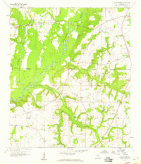
1957 · Clayhatchee
USGS Topo · 1:24,000

1960 · Ewell
USGS Topo · 1:24,000