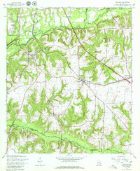
1960 Map of Pinckard
USGS Topo · Published 1979About this map
The Choctawhatchee River cuts through the heart of this Dale County landscape, joined by its West Fork and East Fork as it flows past the established settlements of Newton and Waterford. The mapping reflects a region defined by its transport corridors, with the Atlantic Coast Line railroad threading through Pinckard and Midland City. This rail-and-river network supported a rural economy dotted with sandpits, borrow pits, and small communities like Five Points and Plainview.
Find a feature on this map
31 named features on this map. Tap any name to fly to it.
Don’t see what you’re looking for? This feature index may not catch every label — zoom into the map to look around manually.
Map Details
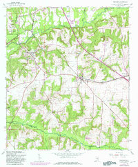
Editions of this 1960 Pinckard Map
3 editions found

Other maps of this area

1942 · Enterprise
USGS Topo · 1:125,000

1948 · Ozark
USGS Topo · 1:62,500

1950 · Ozark
USGS Topo · 1:62,500

1953 · Dothan
USGS Topo · 1:250,000

1954 · Dothan
USGS Topo · 1:250,000

1955 · Dothan
USGS Topo · 1:250,000

1957 · Malvern
USGS Topo · 1:24,000

1957 · Hartford
USGS Topo · 1:62,500
1957 · Clayhatchee
USGS Topo · 1:24,000

1960 · Ewell
USGS Topo · 1:24,000