Loading...
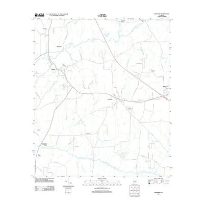
Loading map...1960 Map of Pinckard
USGS Topo · Published 1981About this map
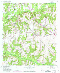
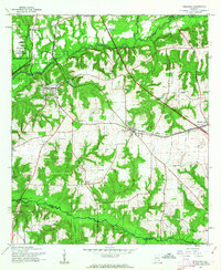
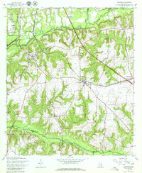
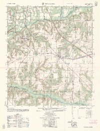
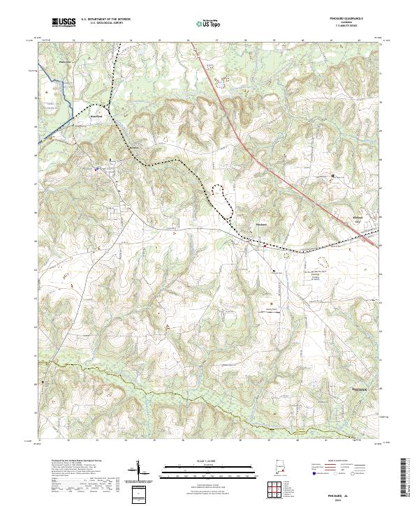
The Choctawhatchee River cuts through this landscape of southeastern Alabama, defined by the convergence of its West Fork and East Fork near Newton. The Seaboard Coast Line railroad creates a vital corridor through the centers of Pinckard and Midland City, illustrating the rail-oriented growth of these small towns. To the northwest, the Fort Rucker Military Reservation occupies a significant portion of the terrain, while the southern reaches show the boundary between Dale and Houston counties.
Find a feature on this map
34 named features on this map. Tap any name to fly to it.
Don’t see what you’re looking for? This feature index may not catch every label — zoom into the map to look around manually.
Map Details
Date Portrayed1960
Date Published1981
PublisherU.S. Geological Survey
Map TypeTopographic
Scale1:24,000
Physical Dimensions22 x 26.7 inches
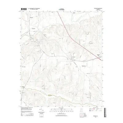
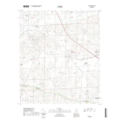
Editions of this 1960 Pinckard Map
3 editions found
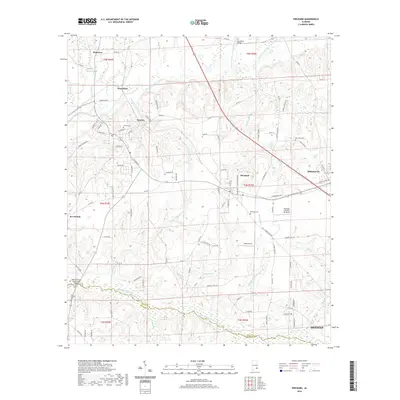
Historical Maps of Dothan Through Time
7 maps found
Featured Locations
Source Details
SourceU.S. Geological Survey
CopyrightPublic Domain