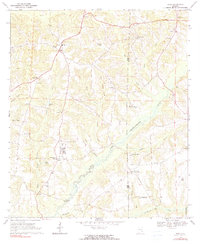
1969 Map of Echo
USGS Topo · Published 1990About this map
The Choctawhatchee River flows through the center of this rural landscape, carving a wide valley between Dale and Henry counties. The community of Echo serves as a local hub near the northern edge of the map, anchored by a Jr High School and situated just east of a Fish Hatchery. The settlement pattern follows the high ground between the river's tributaries, such as West Turkey Creek and East Turkey Creek, where family-named landmarks like Kirklands Crossroads and Lewis emerged.
Find a feature on this map
72 named features on this map. Tap any name to fly to it.
Don’t see what you’re looking for? This feature index may not catch every label — zoom into the map to look around manually.
Map Details
Editions of this 1969 Echo Map
2 editions found
Other maps of this area

1942 · Enterprise
USGS Topo · 1:125,000

1948 · Ozark
USGS Topo · 1:62,500

1950 · Ozark
USGS Topo · 1:62,500

1953 · Dothan
USGS Topo · 1:250,000

1954 · Dothan
USGS Topo · 1:250,000

1955 · Dothan
USGS Topo · 1:250,000

1960 · Ewell
USGS Topo · 1:24,000

1960 · Pinckard
USGS Topo · 1:24,000
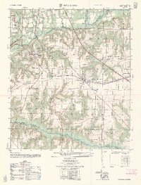
1962 · Pinckard
USGS Topo · 1:25,000
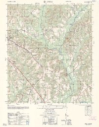
1962 · Ewell
USGS Topo · 1:25,000