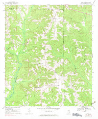
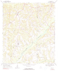
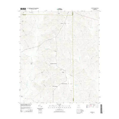
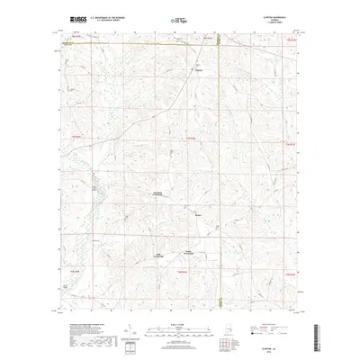
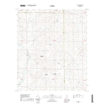
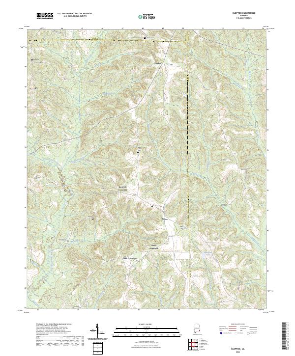
1969 Map of Clopton
USGS Topo · Published 1971About this map
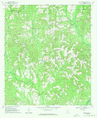
Clopton serves as the primary hub of this landscape where Barbour, Dale, and Henry counties converge. During the late 1960s, the area's rural character was defined by a series of prominent intersections such as Barefield Crossroads, Bells Crossroads, and Snells Crossroads, which organized the small farming communities of the Wiregrass region. The terrain is intricately carved by the West Fork Choctawhatchee River and its numerous tributaries, including Stuckey Creek and Panther Creek. For genealogists, the map is particularly rich in landmark data, identifying several rural congregations and burial grounds like Hopewell Ch, Mt Carmel Ch, and the Magnolia Cem. The distribution of these churches and the naming of local landmarks like Ward Bridge suggest a long-established network of family-held land and community centers that remained largely unchanged by modern development at the time of this survey.
Find a feature on this map
41 named features on this map. Tap any name to fly to it.
Don’t see what you’re looking for? This feature index may not catch every label — zoom into the map to look around manually.
Map Details
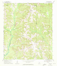
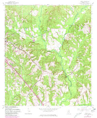
Editions of this 1969 Clopton Map
2 editions found
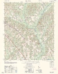
Historical Maps of Clopton Through Time
25 maps found
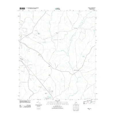
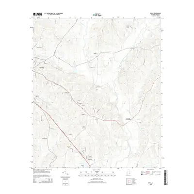
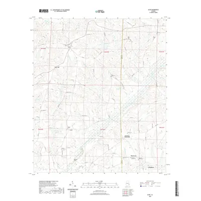
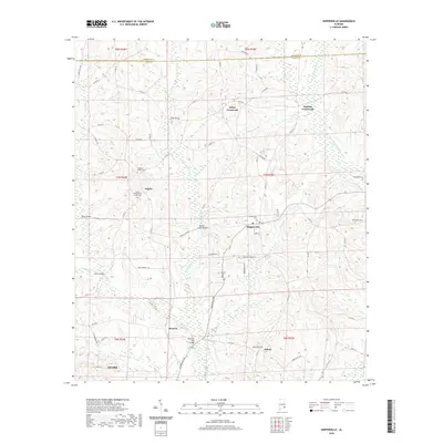
1960 Ewell
Dale County, AL
1962 Ewell
Dale County, AL
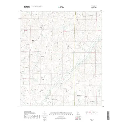
1969 Clopton
Dale County, AL
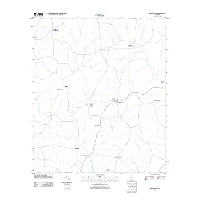
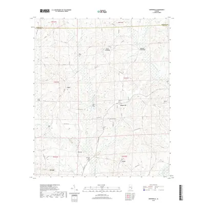
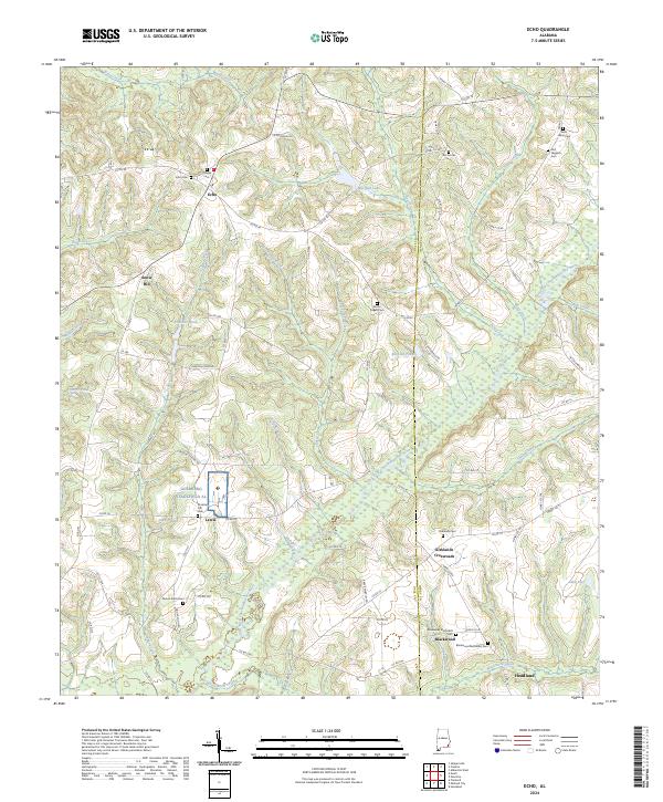
1969 Echo
Dale County, AL
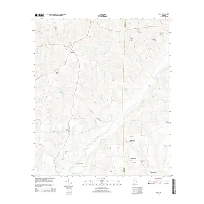
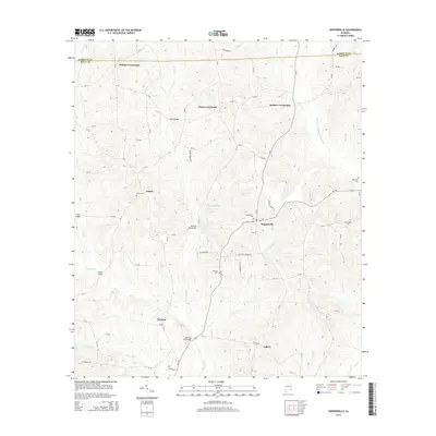
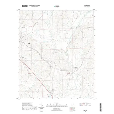
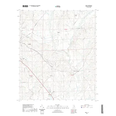
1969 Skipperville
Dale County, AL
2011 Clopton
Dale County, AL
2011 Echo
Dale County, AL
2011 Ewell
Dale County, AL
2011 Skipperville
Dale County, AL
2014 Clopton
Dale County, AL
2014 Echo
Dale County, AL
2014 Ewell
Dale County, AL
2014 Skipperville
Dale County, AL
2018 Clopton
Dale County, AL
2018 Echo
Dale County, AL
2018 Ewell
Dale County, AL
2018 Skipperville
Dale County, AL
2020 Clopton
Dale County, AL
2020 Echo
Dale County, AL
2020 Ewell
Dale County, AL
2020 Skipperville
Dale County, AL
2024 Clopton
Dale County, AL
2024 Echo
Dale County, AL
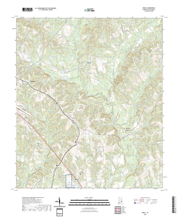
2024 Ewell
Dale County, AL
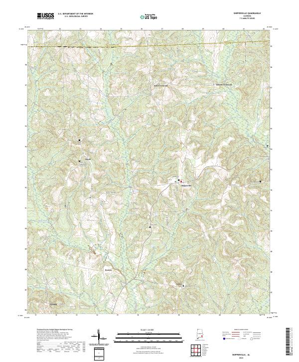
2024 Skipperville
Dale County, AL