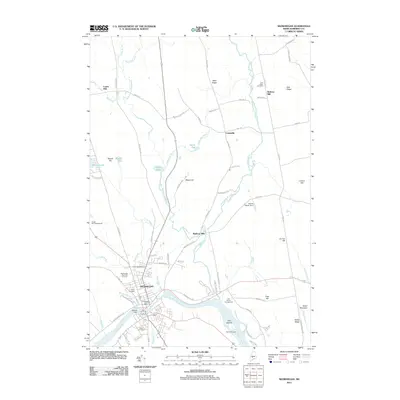
2011 Map of Skowhegan
USGS Topo · Published 2011About this map
The Kennebec River carves through the heart of the landscape here, anchoring the development of Skowhegan as a center of industry and community. The map reveals a transition from the denser grid of the town center to the sprawling rural character of Cornville and the elevated terrain of Eaton Mountain. Numerous small-scale industrial sites and water-management features are visible, including Waltons Mill and the Hewett Marsh Dam, which highlight the historical reliance on local waterways like Wesserunsett Stream.
Find a feature on this map
82 named features on this map. Tap any name to fly to it.
Don’t see what you’re looking for? This feature index may not catch every label — zoom into the map to look around manually.
Map Details
Editions of this 2011 Skowhegan Map
This is the sole edition of this map. No revisions or reprints were ever made.
Other maps of this area

1892 · Waterville
USGS Topo · 1:62,500

1894 · Norridgewock
USGS Topo · 1:62,500

1898 · Norridgewock
USGS Topo · 1:62,500

1904 · Anson
USGS Topo · 1:62,500

1913 · Skowhegan
USGS Topo · 1:62,500

1943 · Norridgewock
USGS Topo · 1:62,500

1943 · Waterville
USGS Topo · 1:62,500

1948 · Bangor
USGS Topo · 1:250,000

1955 · Anson
USGS Topo · 1:62,500

1955 · Skowhegan
USGS Topo · 1:62,500