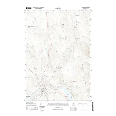
2014 Map of Skowhegan
USGS Topo · Published 2014About this map
The Kennebec River carves through this central Maine landscape, defining the character of Skowhegan and its surrounding hill country. At the river's bend, the Great Eddy serves as a prominent hydraulic feature near the heart of the settlement, while the river itself flows past the Oak Islands to the south. The area's agricultural and industrial heritage is evident in the cluster of small mill settlements like Waltons Mill, Malbons Mills, and Lower Mill, which were established along the network of local tributaries including Wesserunsett Stream and Mill Stream.
Find a feature on this map
105 named features on this map. Tap any name to fly to it.
Don’t see what you’re looking for? This feature index may not catch every label — zoom into the map to look around manually.
Map Details
Editions of this 2014 Skowhegan Map
This is the sole edition of this map. No revisions or reprints were ever made.
Other maps of this area

1892 · Waterville
USGS Topo · 1:62,500

1894 · Norridgewock
USGS Topo · 1:62,500

1898 · Norridgewock
USGS Topo · 1:62,500

1904 · Anson
USGS Topo · 1:62,500

1913 · Skowhegan
USGS Topo · 1:62,500

1943 · Norridgewock
USGS Topo · 1:62,500

1943 · Waterville
USGS Topo · 1:62,500

1948 · Bangor
USGS Topo · 1:250,000

1955 · Anson
USGS Topo · 1:62,500

1955 · Skowhegan
USGS Topo · 1:62,500