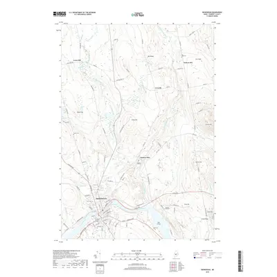
2018 Map of Skowhegan
USGS Topo · Published 2018About this map
The Kennebec River carves a dramatic path through this section of Somerset County, defining the industrial and social development of Skowhegan. The river's influence is most visible at the Great Eddy, where the water wraps around the downtown core. The surrounding landscape is a network of ridges and hills, including West Ridge, East Ridge, and Eaton Mtn, which frame the agricultural and mill-based settlements of the region.
Find a feature on this map
98 named features on this map. Tap any name to fly to it.
Don’t see what you’re looking for? This feature index may not catch every label — zoom into the map to look around manually.
Map Details
Editions of this 2018 Skowhegan Map
This is the sole edition of this map. No revisions or reprints were ever made.
Other maps of this area

1892 · Waterville
USGS Topo · 1:62,500

1894 · Norridgewock
USGS Topo · 1:62,500

1898 · Norridgewock
USGS Topo · 1:62,500

1904 · Anson
USGS Topo · 1:62,500

1913 · Skowhegan
USGS Topo · 1:62,500

1943 · Norridgewock
USGS Topo · 1:62,500

1943 · Waterville
USGS Topo · 1:62,500

1948 · Bangor
USGS Topo · 1:250,000

1955 · Anson
USGS Topo · 1:62,500

1955 · Skowhegan
USGS Topo · 1:62,500