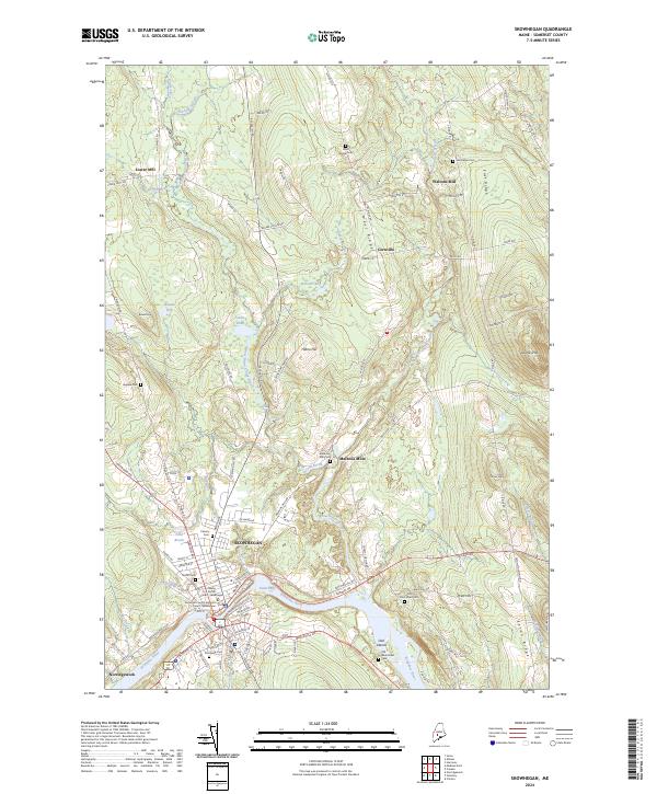
2024 Map of Skowhegan
USGS Topo · Published 2024About this map
The Kennebec River carves a dramatic path through this central Maine landscape, defining the character of Skowhegan at the Great Eddy. The map reveals a settlement pattern deeply tied to water power, with small industrial clusters like Malbons Mills, Lower Mill, and Waltons Mill situated along the many brooks and streams that feed the main river. These mills, along with the surrounding ridges like East Ridge and West Ridge, illustrate the transition from a traditional riverside economy to a rural township structure in Cornville and Norridgewock.
Find a feature on this map
81 named features on this map. Tap any name to fly to it.
Don’t see what you’re looking for? This feature index may not catch every label — zoom into the map to look around manually.
Map Details
Editions of this 2024 Skowhegan Map
This is the sole edition of this map. No revisions or reprints were ever made.
Other maps of this area

1892 · Waterville
USGS Topo · 1:62,500

1894 · Norridgewock
USGS Topo · 1:62,500

1898 · Norridgewock
USGS Topo · 1:62,500

1904 · Anson
USGS Topo · 1:62,500

1913 · Skowhegan
USGS Topo · 1:62,500

1943 · Norridgewock
USGS Topo · 1:62,500

1943 · Waterville
USGS Topo · 1:62,500

1948 · Bangor
USGS Topo · 1:250,000

1955 · Anson
USGS Topo · 1:62,500

1955 · Skowhegan
USGS Topo · 1:62,500