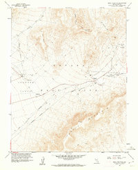
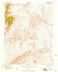
1961 Map of Skull Mountain
USGS Topo · Published 1962About this map
Nevada Test Site operations define this 1961 landscape in Nye County, showing the intersection of Cold War atomic research and the desert environment. The map details Area 400 and Area 401 within the sprawling Jackass Flats, where a Radioactive Waste Dump is specifically noted near the Cane Spring Road. A network of utility infrastructure, including an Underground Telephone Line, traverses the terrain between Skull Mountain and the high point of Lookout Peak. For historians, the inclusion of Wahmonie (Site) provides a look at a former silver mining camp that had briefly flourished decades earlier. The contrast between this pioneer history and the mid-century infrastructure, such as the Radio Tower and Horn Cutoff, illustrates the region's rapid transition into a restricted federal zone.
Find a feature on this map
21 named features on this map. Tap any name to fly to it.
Don’t see what you’re looking for? This feature index may not catch every label — zoom into the map to look around manually.
Map Details
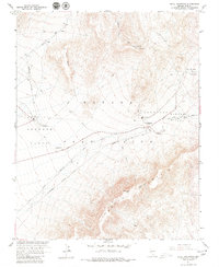
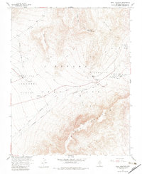
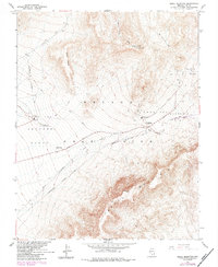
Editions of this 1961 Skull Mountain Map
4 editions found
Other maps of this area

1908 · Furnace Creek
USGS Topo · 1:250,000

1910 · Furnace Creek
USGS Topo · 1:250,000

1942 · Skull Mountain
USGS Topo · 1:125,000

1948 · Death Valley
USGS Topo · 1:250,000

1952 · Topopah Spring
USGS Topo · 1:62,500

1952 · Specter Range
USGS Topo · 1:62,500
1952 · Cane Spring
USGS Topo · 1:62,500

1954 · Death Valley
USGS Topo · 1:250,000

1956 · Death Valley
USGS Topo · 1:250,000

1957 · Death Valley
USGS Topo · 1:250,000