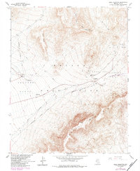
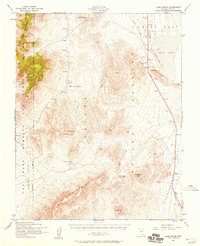
1961 Map of Skull Mountain
USGS Topo · Published 1984About this map
Nevada Test Site infrastructure dominates this landscape within Nye County, revealing the mid-century intersection of nuclear research and desert geography. The map identifies specialized sectors including Area 400 and Area 401, supported by an underground telephone line and infrastructure such as a radioactive waste dump. Topographical landmarks like the massive ridge of Skull Mountain and the high plateau of Kiwi Mesa define the physical environment, while the presence of Wahmonie (Site) marks the location of an earlier mining settlement. Desert water sources like Cane Spring are located near Wahmonie Flat, illustrating how historical watering holes were integrated into the modern atomic age facilities. Movement through the basin is facilitated by a network of jeep trails and the Horn Cutoff, connecting the high points of Lookout Peak to the broad expanses of Jackass Flats.
Find a feature on this map
18 named features on this map. Tap any name to fly to it.
Don’t see what you’re looking for? This feature index may not catch every label — zoom into the map to look around manually.
Map Details
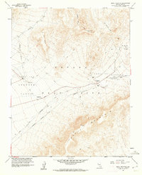
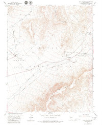
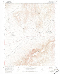
Editions of this 1961 Skull Mountain Map
4 editions found
Other maps of this area

1908 · Furnace Creek
USGS Topo · 1:250,000

1910 · Furnace Creek
USGS Topo · 1:250,000

1942 · Skull Mountain
USGS Topo · 1:125,000

1948 · Death Valley
USGS Topo · 1:250,000

1952 · Topopah Spring
USGS Topo · 1:62,500

1952 · Specter Range
USGS Topo · 1:62,500
1952 · Cane Spring
USGS Topo · 1:62,500

1954 · Death Valley
USGS Topo · 1:250,000

1956 · Death Valley
USGS Topo · 1:250,000

1957 · Death Valley
USGS Topo · 1:250,000