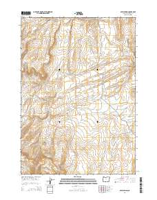
2014 Map of Skull Spring
USGS Topo · Published 2014About this map
Skull Spring and a complex network of livestock reservoirs define this portion of the high desert in Malheur County. The landscape is marked by strategic water management, with numerous named catchments such as Field Creek Reservoir, Dennison Reservoir, and the Old Fence Reservoir scattered across the township lines of T24S R40E and T25S R40E. These features, along with Willow Spring and Green Spring, suggest a region historically tied to open-range ranching and seasonal grazing.
Find a feature on this map
24 named features on this map. Tap any name to fly to it.
Don’t see what you’re looking for? This feature index may not catch every label — zoom into the map to look around manually.
Map Details
Editions of this 2014 Skull Spring Map
This is the sole edition of this map. No revisions or reprints were ever made.
Other maps of this area

1955 · Boise
USGS Topo · 1:250,000

1958 · Boise
USGS Topo · 1:250,000

1962 · Boise
USGS Topo · 1:250,000

1972 · Cedar Mountain
USGS Topo · 1:24,000

1972 · Burnt Flat
USGS Topo · 1:24,000

1972 · Shumway Reservoir
USGS Topo · 1:24,000

1972 · Alder Creek
USGS Topo · 1:24,000

1972 · Crowley
USGS Topo · 1:24,000

1972 · Rufino Butte
USGS Topo · 1:24,000

1972 · Copeland Reservoirs
USGS Topo · 1:24,000