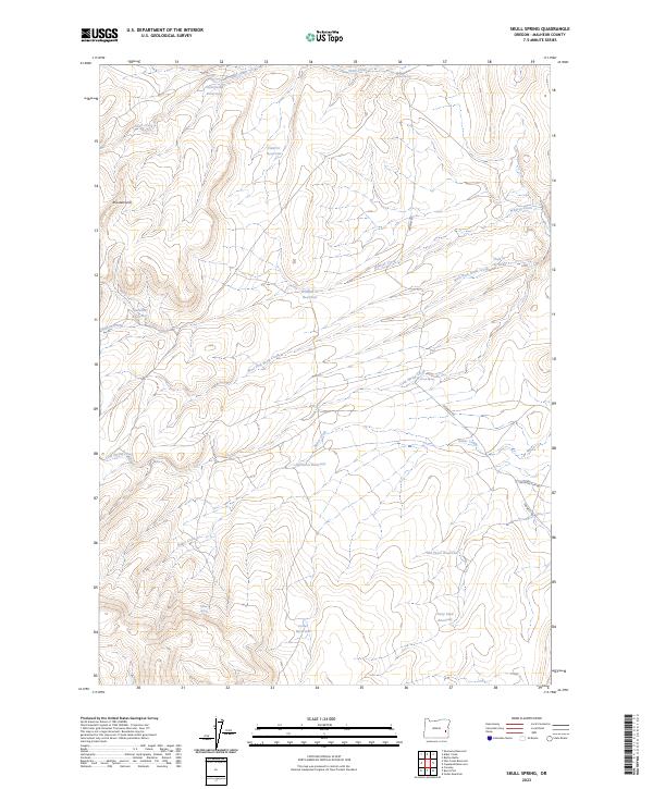
2023 Map of Skull Spring
USGS Topo · Published 2023About this map
Skull Spring and a series of high-desert springs define the hydrology of this corner of Malheur County, where the landscape is marked by the complex drainage systems of Skull Creek and Wildcat Creek. The terrain is characterized by strategic water management, with numerous catchments such as Littlefield Reservoir, Field Cr Reservoir, and the Gray Stud Reservoir scattered across the high plains. These features suggest a long-standing reliance on seasonal water for livestock and land management in a dry environment.
Find a feature on this map
26 named features on this map. Tap any name to fly to it.
Don’t see what you’re looking for? This feature index may not catch every label — zoom into the map to look around manually.
Map Details
Editions of this 2023 Skull Spring Map
This is the sole edition of this map. No revisions or reprints were ever made.
Other maps of this area

1955 · Boise
USGS Topo · 1:250,000

1958 · Boise
USGS Topo · 1:250,000

1962 · Boise
USGS Topo · 1:250,000

1972 · Cedar Mountain
USGS Topo · 1:24,000

1972 · Burnt Flat
USGS Topo · 1:24,000

1972 · Shumway Reservoir
USGS Topo · 1:24,000

1972 · Alder Creek
USGS Topo · 1:24,000

1972 · Crowley
USGS Topo · 1:24,000

1972 · Rufino Butte
USGS Topo · 1:24,000

1972 · Copeland Reservoirs
USGS Topo · 1:24,000