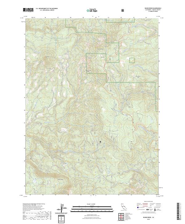
2023 Map of Skunk Ridge
USGS Topo · Published 2023About this map
Shasta National Forest encompasses this high-elevation landscape in the southern Cascades, defined by complex drainage systems and volcanic terrain features. The prominent Skunk Ridge and volcanic peaks such as Bald Mtn, Red Mtn, and North Red Mtn anchor the topography. Geologic instability is clearly marked by the Nelson Creek Slides and Yellow Slides, indicating the active nature of the landscape near the Pacific Crest National Scenic Trl. The map documents an intricate network of waterways, from Rough and Ready Creek in the northwest to the curiously named Underground Creek and Screwdriver Creek in the south. This modern survey illustrates how traditional landmarks like Summit Lake and Yét Atwam Flat persist alongside established wilderness recreation routes in Northern California.
Find a feature on this map
30 named features on this map. Tap any name to fly to it.
Don’t see what you’re looking for? This feature index may not catch every label — zoom into the map to look around manually.
Map Details
Editions of this 2023 Skunk Ridge Map
This is the sole edition of this map. No revisions or reprints were ever made.
Other maps of this area

1886 · Lassen Peak
USGS Topo · 1:250,000

1886 · Modoc Lava Bed
USGS Topo · 1:250,000

1892 · Modoc Lava-Bed
USGS Topo · 1:250,000

1892 · Lassen Peak
USGS Topo · 1:250,000

1894 · Lassen Peak
USGS Topo · 1:250,000

1932 · Bartle
USGS Topo · 1:96,000

1935 · Burney
USGS Topo · 1:96,000

1939 · Burney
USGS Topo · 1:125,000

1939 · Bartle
USGS Topo · 1:125,000

1954 · Alturas
USGS Topo · 1:250,000