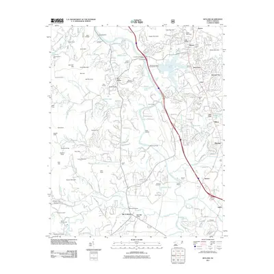
2011 Map of Skyland
USGS Topo · Published 2011About this map
The French Broad River carves a central path through this western North Carolina landscape, where suburban growth from Asheville meets the transition to the Blue Ridge foothills. Industrial and agricultural footprints are evident in the sprawling Biltmore Farms and the Lake Julian reservoir, while the southern reach centers on the settlement of Mills River. The map documents a complex network of family-named landmarks and infrastructure, including the Fanning Bridge and Butler Bridge crossing the French Broad.
Find a feature on this map
264 named features on this map. Tap any name to fly to it.
Don’t see what you’re looking for? This feature index may not catch every label — zoom into the map to look around manually.
Map Details
Editions of this 2011 Skyland Map
This is the sole edition of this map. No revisions or reprints were ever made.
Other maps of this area

1894 · Asheville
USGS Topo · 1:125,000

1900 · Mount Mitchell
USGS Topo · 1:125,000

1901 · Asheville
USGS Topo · 1:125,000

1902 · Mount Mitchell
USGS Topo · 1:125,000

1905 · Pisgah
USGS Topo · 1:125,000

1906 · Pisgah
USGS Topo · 1:125,000

1907 · Saluda
USGS Topo · 1:125,000

1935 · Horse Shoe
USGS Topo · 1:24,000

1935 · Hendersonville
USGS Topo · 1:24,000

1935 · Pisgah Forest
USGS Topo · 1:24,000