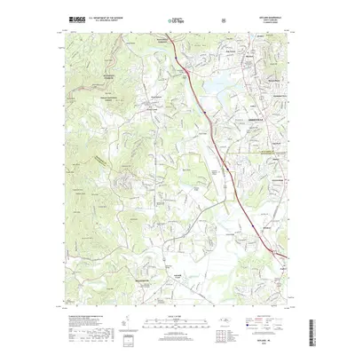
2019 Map of Skyland
USGS Topo · Published 2019About this map
The French Broad River serves as a central artery for this region of North Carolina, where suburban growth from Asheville meets the foothills of the Pisgah National Forest. This 2019 survey captures a landscape of modern transportation and residential expansion, anchored by the Asheville Regional Airport and the corridor along Hendersonville Rd. The eastern half of the map is defined by established communities like Arden, Skyland, and Royal Pines, while the western edge transitions into the steep terrain of the mountains, marked by Glenn Bald and Forge Mtn.
Find a feature on this map
91 named features on this map. Tap any name to fly to it.
Don’t see what you’re looking for? This feature index may not catch every label — zoom into the map to look around manually.
Map Details
Editions of this 2019 Skyland Map
This is the sole edition of this map. No revisions or reprints were ever made.
Other maps of this area

1894 · Asheville
USGS Topo · 1:125,000

1900 · Mount Mitchell
USGS Topo · 1:125,000

1901 · Asheville
USGS Topo · 1:125,000

1902 · Mount Mitchell
USGS Topo · 1:125,000

1905 · Pisgah
USGS Topo · 1:125,000

1906 · Pisgah
USGS Topo · 1:125,000

1907 · Saluda
USGS Topo · 1:125,000

1935 · Horse Shoe
USGS Topo · 1:24,000

1935 · Hendersonville
USGS Topo · 1:24,000

1935 · Pisgah Forest
USGS Topo · 1:24,000