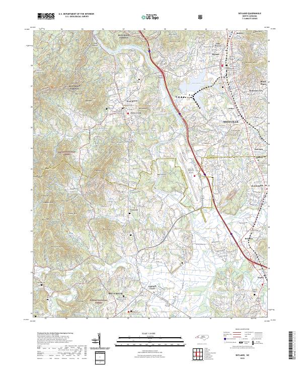
2022 Map of Skyland
USGS Topo · Published 2022About this map
The French Broad River carves a central path through this landscape south of Asheville, where the industrial and residential growth of Arden, Fletcher, and Skyland meets the edges of the Pisgah National Forest. The map documents a complex mix of modern infrastructure, such as the Asheville Regional Airport and Blue Ridge Parkway, alongside deep-rooted community landmarks. Local history and genealogy researchers will find numerous burial grounds including the Avery Creek Christian Church Graveyard, Sitton Gillespie Cem, and the Mount Gilead Baptist Cem. High ground like Forge Mtn and Chestnut Top rises above the valley, while smaller settlements like Avery Creek and Mills River maintain their distinct identities near the Buncombe and Henderson county line.
Find a feature on this map
102 named features on this map. Tap any name to fly to it.
Don’t see what you’re looking for? This feature index may not catch every label — zoom into the map to look around manually.
Map Details
Editions of this 2022 Skyland Map
This is the sole edition of this map. No revisions or reprints were ever made.
Other maps of this area

1894 · Asheville
USGS Topo · 1:125,000

1900 · Mount Mitchell
USGS Topo · 1:125,000

1901 · Asheville
USGS Topo · 1:125,000

1902 · Mount Mitchell
USGS Topo · 1:125,000

1905 · Pisgah
USGS Topo · 1:125,000

1906 · Pisgah
USGS Topo · 1:125,000

1907 · Saluda
USGS Topo · 1:125,000

1935 · Horse Shoe
USGS Topo · 1:24,000

1935 · Hendersonville
USGS Topo · 1:24,000

1935 · Pisgah Forest
USGS Topo · 1:24,000