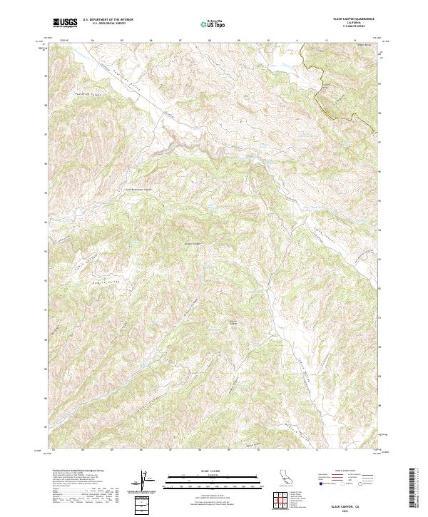
2021 Map of Slack Canyon
USGS Topo · Published 2021About this map
Peachtree Valley and the Diablo Range define this high-country landscape along the border of Fresno and Monterey counties. In the northern reaches, Peachtree Rd follows the valley floor, connecting the drainage of San Lorenzo Cr with the surrounding canyons. The terrain is deeply incised by complex water systems, including Pancho Rico Cr and Sargent Cr, which have carved out notable landmarks like Little Bitterwater Canyon and Sargent Canyon.
Find a feature on this map
45 named features on this map. Tap any name to fly to it.
Don’t see what you’re looking for? This feature index may not catch every label — zoom into the map to look around manually.
Map Details
Editions of this 2021 Slack Canyon Map
This is the sole edition of this map. No revisions or reprints were ever made.
Other maps of this area

1915 · Priest Valley
USGS Topo · 1:125,000

1919 · San Miguel
USGS Topo · 1:62,500

1919 · Bradley
USGS Topo · 1:62,500

1941 · Priest Valley
USGS Topo · 1:62,500

1941 · San Ardo
USGS Topo · 1:62,500

1941 · Bradley
USGS Topo · 1:62,500

1943 · San Ardo
USGS Topo · 1:62,500

1944 · Priest Valley
USGS Topo · 1:62,500

1947 · San Luis Obispo
USGS Topo · 1:250,000

1947 · San Miguel
USGS Topo · 1:62,500