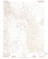
1982 Map of Slate Range Crossing
USGS Topo · Published 1983About this map
Argus Range and the Slate Range dominate this 1980s landscape, providing a detailed look at the resource extraction and difficult terrain of Inyo County. The map documents industrial footprints including the Whitaker Iron Mine and Veta Mine, along with multiple quarry and prospect sites that underscore the region's mining history. The narrow Slate Range Crossing serves as a critical point of passage between the Searles Valley to the west and the Panamint Valley to the east.
Find a feature on this map
24 named features on this map. Tap any name to fly to it.
Don’t see what you’re looking for? This feature index may not catch every label — zoom into the map to look around manually.
Map Details
Editions of this 1982 Slate Range Crossing Map
This is the sole edition of this map. No revisions or reprints were ever made.
Other maps of this area

1908 · Ballarat
USGS Topo · 1:250,000

1913 · Ballarat
USGS Topo · 1:250,000

1915 · Searles Lake
USGS Topo · 1:250,000

1947 · Trona
USGS Topo · 1:250,000

1948 · Trona
USGS Topo · 1:250,000

1948 · Death Valley
USGS Topo · 1:250,000

1949 · Trona
USGS Topo · 1:62,500

1950 · Trona
USGS Topo · 1:62,500

1950 · Manly Peak
USGS Topo · 1:62,500
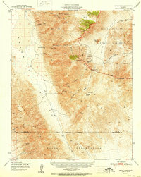
1951 · Manly Peak
USGS Topo · 1:62,500