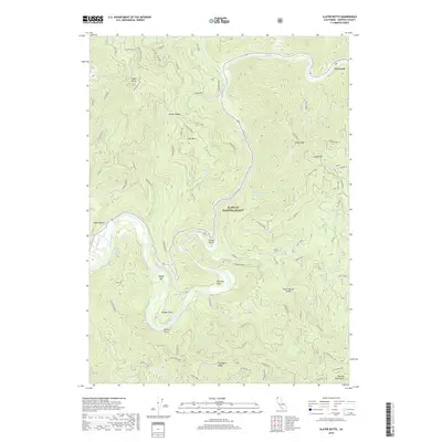
2018 Map of Slater Butte
USGS Topo · Published 2018About this map
The Klamath River carves a deep, winding path through the center of this terrain, anchoring a landscape defined by sharp ridges and isolated flats. This territory within the Klamath National Forest features historic river-edge locations such as Fort Goff and Woods Bar, which point to the era when small settlements and mining bars lined the waterway. Higher elevations are marked by prominent summits like Cade Mtn and the China Peak Lookout, overlooking a complex system of drainages including Thompson Cr and China Creek. At the southern edge, the map touches upon the Marble Mountains and the distinctively named Fryingpan Ridge. The intricate network of local ridges, such as Thompson Ridge and Grider Ridge, illustrates the challenging geography that historically isolated these river-bound outposts and forced development to follow the narrow valley floor.
Find a feature on this map
51 named features on this map. Tap any name to fly to it.
Don’t see what you’re looking for? This feature index may not catch every label — zoom into the map to look around manually.
Map Details
Editions of this 2018 Slater Butte Map
This is the sole edition of this map. No revisions or reprints were ever made.
Other maps of this area

1914 · Seiad
USGS Topo · 1:125,000

1922 · Seiad
USGS Topo · 1:125,000

1948 · Weed
USGS Topo · 1:250,000

1950 · Weed
USGS Topo · 1:250,000

1955 · Seiad Valley
USGS Topo · 1:62,500

1955 · Ukonom Lake
USGS Topo · 1:62,500

1955 · Scott Bar
USGS Topo · 1:62,500

1956 · Happy Camp
USGS Topo · 1:62,500

1958 · Weed
USGS Topo · 1:250,000

1963 · Weed
USGS Topo · 1:250,000