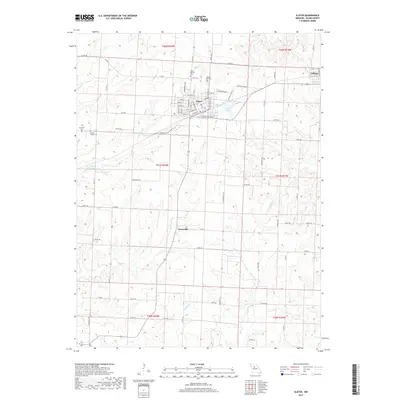
2017 Map of Slater
USGS Topo · Published 2017About this map
The northern Saline County landscape centers on Slater, a town defined by its grid of streets such as W Front St and Industrial Blvd. This region is a study in Midwestern agricultural settlement and water management, with numerous named drainages like Thrailkill Br and Shiloh Br cutting through the terrain. To the east, the smaller community of Gilliam sits near the map border, while the hamlet of Orearville marks a crossroads further south. For those researching family history, the map identifies several distinct burial sites including Slater City Cem, Mount Moriah Cem, and the more isolated Hickman Cem. The presence of Slater Lake and the branching waters of Bear Cr reflect the natural hydrology that has influenced local farm boundaries and road placements for generations.
Find a feature on this map
56 named features on this map. Tap any name to fly to it.
Don’t see what you’re looking for? This feature index may not catch every label — zoom into the map to look around manually.
Map Details
Editions of this 2017 Slater Map
This is the sole edition of this map. No revisions or reprints were ever made.
Other maps of this area

1890 · Glasgow
USGS Topo · 1:125,000

1890 · Marshall
USGS Topo · 1:125,000

1892 · Marshall
USGS Topo · 1:125,000

1901 · Marshall
USGS Topo · 1:125,000

1940 · Marshall
USGS Topo · 1:62,500

1944 · Marshall
USGS Topo · 1:62,500

1947 · Glasgow
USGS Topo · 1:62,500

1951 · Miami
USGS Topo · 1:24,000
1951 · New Frankfort
USGS Topo · 1:24,000

1953 · Moberly
USGS Topo · 1:250,000