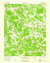
1958 Map of Slayden
USGS Topo · Published 1959About this map
Slayden and Marion anchor this mid-century view of the Tennessee hill country along the border of Montgomery and Dickson counties. The landscape is defined by a dense network of hollows and ridges, such as Sullivan Ridge and Woods Valley, where small rural communities are interconnected by winding roads. Long-established family ties are evident in the numerous burial grounds scattered throughout the area, including Schmittou Cem, Keele Cem, and Groves Cem.
Find a feature on this map
43 named features on this map. Tap any name to fly to it.
Don’t see what you’re looking for? This feature index may not catch every label — zoom into the map to look around manually.
Map Details
Editions of this 1958 Slayden Map
2 editions found
Other maps of this area

1931 · Erin
USGS Topo · 1:62,500

1936 · Ruskin
USGS Topo · 1:24,000
1953 · Ruskin
USGS Topo · 1:24,000

1956 · Nashville
USGS Topo · 1:250,000

1958 · Charlotte
USGS Topo · 1:24,000

1958 · Cumberland Furnace
USGS Topo · 1:24,000
1958 · Vanleer
USGS Topo · 1:24,000
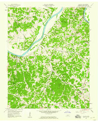
1958 · Palmyra
USGS Topo · 1:24,000
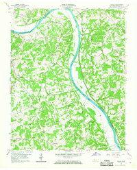
1958 · Excell
USGS Topo · 1:24,000

1959 · Nashville
USGS Topo · 1:250,000