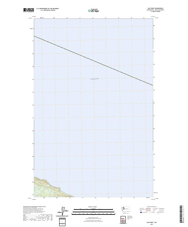
2023 Map of Slip Point
USGS Topo · Published 2023About this map
The vast waters of the Salish Sea dominate this coastal survey along the northern edge of the Olympic Peninsula. The map focuses primarily on the maritime environment, capturing the shoreline where the Pacific Northwest meets the inland sea. On the southern edge of the sheet, the terrain rises into the rugged landscape of Clallam County, defined by the Public Land Survey System grid of t32n r12w. This modern topographical study provides an exact record of the contemporary coastline, documenting the precise intersection of land and sea in an area where the maritime economy and natural geography have long dictated the pattern of local life.
Find a feature on this map
2 named features on this map. Tap any name to fly to it.
Don’t see what you’re looking for? This feature index may not catch every label — zoom into the map to look around manually.
Map Details
Editions of this 2023 Slip Point Map
This is the sole edition of this map. No revisions or reprints were ever made.
Other maps of this area

1922 · Pysht
USGS Topo · 1:62,500

1935 · Clallam
USGS Topo · 1:62,500

1935 · Lake Pleasant
USGS Topo · 1:62,500

1942 · Pysht
USGS Topo · 1:62,500

1942 · Clallam
USGS Topo · 1:62,500

1942 · Lake Pleasant
USGS Topo · 1:62,500

1953 · Cape Flattery
USGS Topo · 1:250,000

1957 · Lake Pleasant
USGS Topo · 1:62,500
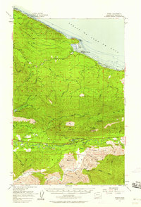
1957 · Pysht
USGS Topo · 1:62,500
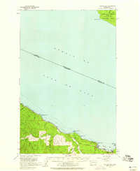
1957 · Clallam Bay
USGS Topo · 1:62,500