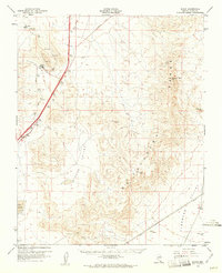
1960 Map of Sloan
USGS Topo · Published 1961About this map
The McCullough Range and the northern reaches of the Highland Range dominate this desert landscape south of Las Vegas during the early 1960s. The Union Pacific railroad line serves as the primary corridor for movement and industry, anchoring settlements like Sloan and Erie. The industrial character of the era is evident through several extractive sites, including multiple Quarries near Sloan and a Gravel Pit to the northeast. To the north, the map identifies the Bard (Site), marking a location of previous habitation or activity that had transitioned by the time of this field check. Infrastructure development is captured in a transitional state, with a prominent road section marked as Under Construction and another labeled as a Cutoff. The vast, dry expanse of Hidden Valley lies between the mountain ranges, while Jean Lake appears in the southwest, and the Eldorado Valley opens to the southeast near several towers.
Find a feature on this map
18 named features on this map. Tap any name to fly to it.
Don’t see what you’re looking for? This feature index may not catch every label — zoom into the map to look around manually.
Map Details
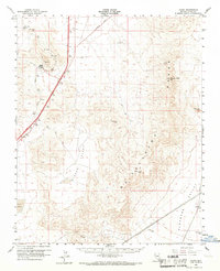
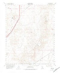
Editions of this 1960 Sloan Map
3 editions found
Other maps of this area

1886 · Camp Mohave
USGS Topo · 1:250,000

1886 · Saint Thomas
USGS Topo · 1:250,000

1892 · Camp Mohave
USGS Topo · 1:250,000

1893 · Saint Thomas
USGS Topo · 1:250,000

1907 · Las Vegas
USGS Topo · 1:250,000

1908 · Las Vegas
USGS Topo · 1:250,000

1910 · Ivanpah
USGS Topo · 1:250,000

1912 · Ivanpah
USGS Topo · 1:250,000

1926 · Nelson
USGS Topo · 1:96,000

1926 · Boulder Canyon
USGS Topo · 1:96,000