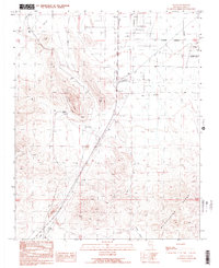
1989 Map of Sloan
USGS Topo · Published 1990About this map
Industrial extraction and desert transportation define this high-desert landscape south of the Las Vegas valley during the late 1980s. The settlement of Sloan serves as a focal point for local activity, surrounded by an extensive network of mining and quarrying operations, including a large Quarry, several Gravel Pit locations, and numerous Prospect sites. Evidence of this heavy industry is visible in the prominent Tailings and the presence of a Radio Tower atop the nearby peaks.
Find a feature on this map
14 named features on this map. Tap any name to fly to it.
Don’t see what you’re looking for? This feature index may not catch every label — zoom into the map to look around manually.
Map Details
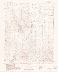
Editions of this 1989 Sloan Map
2 editions found
Other maps of this area

1907 · Las Vegas
USGS Topo · 1:250,000

1908 · Las Vegas
USGS Topo · 1:250,000

1910 · Ivanpah
USGS Topo · 1:250,000

1912 · Ivanpah
USGS Topo · 1:250,000

1942 · Ivanpah
USGS Topo · 1:250,000

1947 · Kingman
USGS Topo · 1:250,000

1948 · Kingman
USGS Topo · 1:250,000

1952 · Blue Diamond
USGS Topo · 1:62,500

1952 · Las Vegas
USGS Topo · 1:62,500

1954 · Las Vegas
USGS Topo · 1:250,000