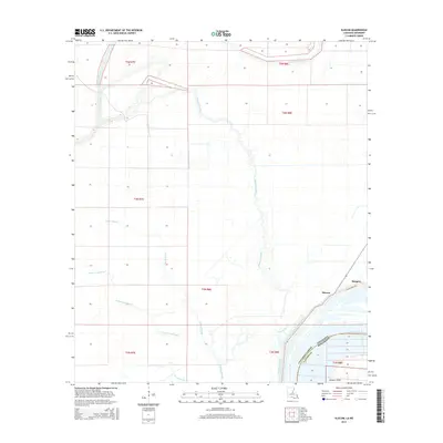
2015 Map of Slocum
USGS Topo · Published 2015About this map
The Mississippi River forms the vital boundary of this alluvial landscape along the border of Concordia Parish and Adams County, where water defines every boundary and settlement. The small community of Slocum and the nearby Bougere sit protected behind the prominent Slocum Levee Rd, reflecting the historical necessity of flood control in this low-lying region. This 2015 survey illustrates a complex hydrological network where Bayou Cocodrie winds through the center, joined by a maze of secondary channels including Greens Bayou, Green Bayou, and Wild Cow Bayou.
Find a feature on this map
19 named features on this map. Tap any name to fly to it.
Don’t see what you’re looking for? This feature index may not catch every label — zoom into the map to look around manually.
Map Details
Editions of this 2015 Slocum Map
This is the sole edition of this map. No revisions or reprints were ever made.
Other maps of this area

1935 · Tooleys
USGS Topo · 1:62,500

1939 · Artonish
USGS Topo · 1:62,500

1939 · Deer Park
USGS Topo · 1:62,500

1941 · Voorhies
USGS Topo · 1:62,500

1941 · Tooleys
USGS Topo · 1:62,500

1953 · Natchez
USGS Topo · 1:250,000

1954 · Artonish
USGS Topo · 1:62,500

1955 · Artonish
USGS Topo · 1:62,500

1956 · Natchez
USGS Topo · 1:250,000

1958 · Artonish
USGS Topo · 1:62,500